Rounds Rock
At a glance
Rounds Rock is a summit in western Massachusetts, rising to 2,583 feet about 2.8 miles from the town of Cheshire. Summer is the most comfortable time to go. Typical averages from a nearby weather station in Pittsfield show July highs around 79°F with lows near 58°F, and the summit sits higher than that station, so expect cooler temperatures up top. The Rounds Rock - Jones Nose Loop starts just 0.2 miles away, and the Jones Nose to Summit hike is about 1.6 miles off. Bradley Farm Trail and the Rounds Rock Trek are both roughly 1.8 miles away.
- summit
- 2,583 ft
- way up
- 1
- best months
- Early Apr–mid-Jun, early Sep–mid-Nov
Near: Pittsfield
Best weeks to go
Early April to mid-June and early September to mid-November are usually best for the summit here.
Typical highs of 50–74°F and lows of 30°F or warmer in those weeks. Rain falls on about 50% of days at the wettest of them, so plan around showers.
Typical weather: NOAA 1991–2020 normals at Pittsfield Muni Ap, MA, 12 mi away. Not a forecast.
Typical weather by monthBest time to visit Rounds Rock
Best months: April–June and September–October. Best months are the ones mostly made of the best weeks for the summit: typical temperatures in its comfortable range, few snowy days and not usually wet, judged with the same limits as our good-day forecasts.
Jan
30°
14°
12 wet
Feb
33°
15°
11 wet
Mar
42°
23°
13 wet
Apr
55°
34°
13 wet
May
67°
44°
14 wet
Jun
75°
53°
15 wet
Jul
79°
58°
15 wet
Aug
78°
56°
15 wet
Sep
70°
49°
13 wet
Oct
58°
39°
13 wet
Nov
47°
29°
13 wet
Dec
35°
21°
13 wet
Typical high / low (°F) and days with rain or snow, 1991–2020. Measured at Pittsfield Muni Ap, MA, 12.2 mi away at 1,194 ft. The station sits about 1,400 ft lower than this place, so expect it a little cooler here. This station doesn't record snowfall. Source: NOAA NCEI U.S. Climate Normals 1991–2020.
Been here? Tell people how it was.
Map © Mapbox © OpenStreetMap contributors 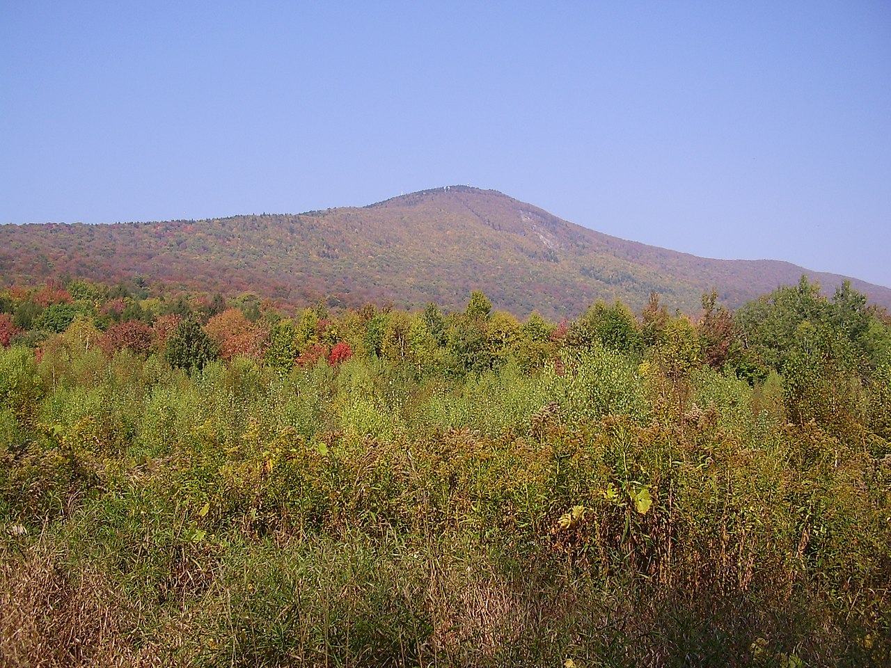 Mount Greylock3,492 ft · Massachusetts2 routes3.7 mi awayPhoto: Jstergis, CC BY 3.0 (via Wikimedia Commons)
- Stony Ledge2,582 ft · Massachusetts1 route3.7 mi away
- Honwee Mountain2,306 ft · Massachusetts1 route7.8 mi away
- Pine Mountain2,209 ft · Massachusetts1 route9.1 mi away
- Mason Hill1,131 ft · Massachusetts4 routes11 mi away
- Tully Mountain2,080 ft · Massachusetts1 route11 mi away
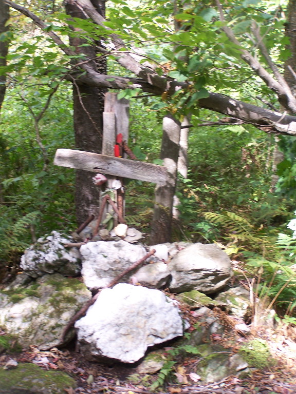 Rounds Rock - Jones Nose LoopHikingPhoto: andyarthur, CC BY 2.0 (via Flickr)0.2 mi
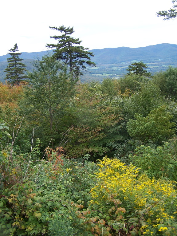 Jones Nose to SummitHikingPhoto: andyarthur, CC BY 2.0 (via Flickr)1.6 mi
- Bradley Farm TrailHiking1.8 mi
- Rounds Rock TrekHiking1.8 mi
 Hoosic RiverCanoeingPhoto: John Phelan, CC BY 3.0 (via Wikimedia Commons)2.9 mi
- Cheshire ReservoirLake fishing4 mi
- Pontoosuc LakeLake fishing7 mi
- Clark CragRock climbing7.7 mi
- Mount GreylockSummitPhoto: Jstergis, CC BY 3.0 (via Wikimedia Commons)~6 min drive
 Monument MountainSummitPhoto: Tom Walsh, CC BY-SA 3.0 (via Wikimedia Commons)~41 min drive
 Stone MountainSummitPhoto: KyleAndMelissa22, Public domain (via Wikimedia Commons)~39 min drive
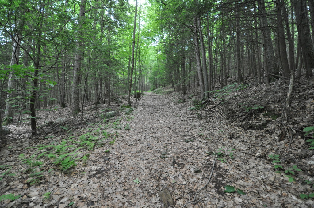 Petticoat HillSummitPhoto: User:Magicpiano, CC BY-SA 4.0 (via Wikimedia Commons)~47 min drive
- Stony LedgeSummit~6 min drive
- Mount FitchSummit~8 min drive
- Mount WilliamsSummit~10 min drive
- Honwee MountainSummit~13 min drive
- Pine MountainSummit~16 min drive
- Day MountainSummit~16 min drive
Conditions and forecast
Daily highs and lows, wind and the chance of precipitation at the summit and route start for the next 7 days, from the Open-Meteo model.
Questions about Rounds Rock
How tall is Rounds Rock?
2,583 ft (787 m).
How many routes go to the summit of Rounds Rock?
One: Rounds Rock Trek.
Ask about this place
Questions about Rounds Rock: conditions, access, timing. Answers say when something isn't known.
