


Lone Seqouia Campground
Campground
0.8 mi from the trail
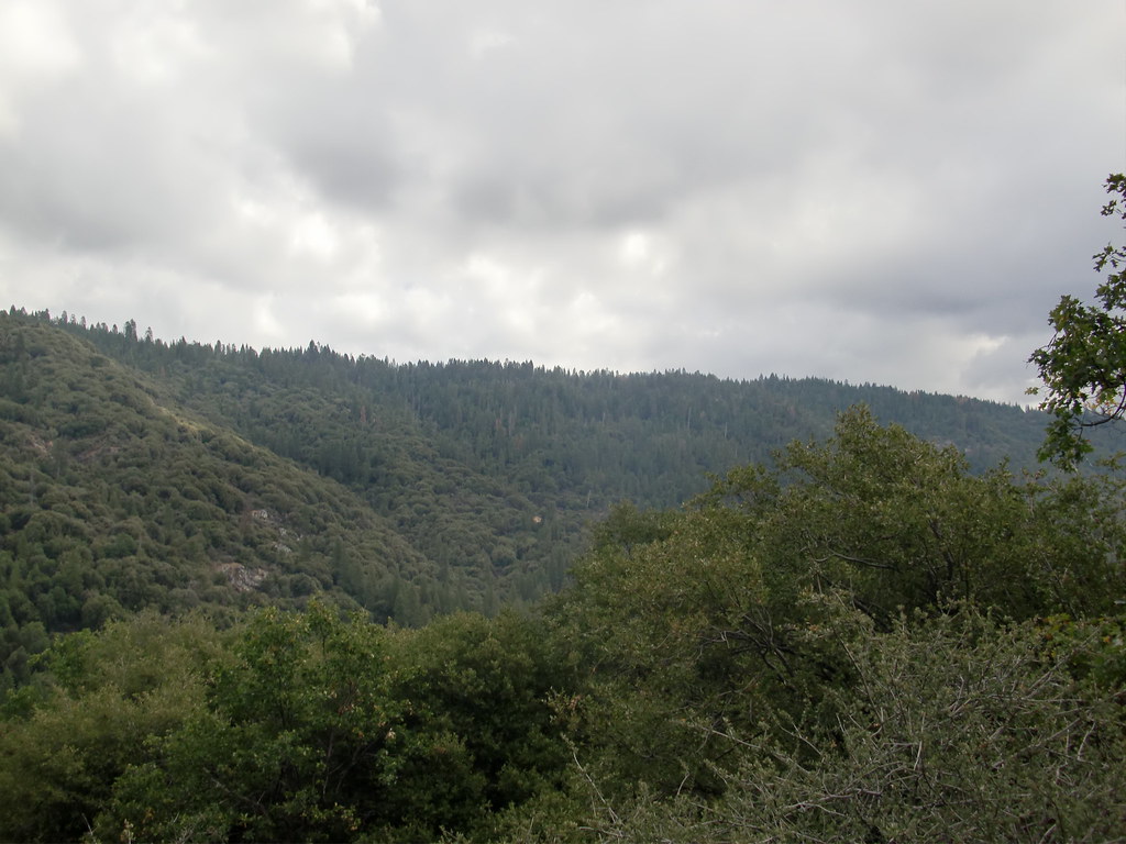
Ridge is a short, easy out-and-back hike on Forest Service land in the Bass Lake Ranger District of Sierra National Forest in California. The trail is 1.4 miles long and sits at about 4,500 feet, with a high point near 4,680 feet. The climb is front-loaded, and the steepest stretch begins about 0.18 miles from the start, where the grade reaches 15 percent. The total elevation gain is about 312 feet, and the trail returns to its starting point. Summer and early fall are the most comfortable times to go. Typical averages from a nearby weather station show July and August highs around 80°F with lows near 50°F, and only about one wet day a month. That station sits roughly 360 feet lower than the trail's high point, so temperatures on higher ground run a bit cooler. Spring and fall can be cooler and wetter. May averages about 63°F for the day, and November about 53°F, with roughly 10 wet days a month in winter. Sidewinder Trail and Hall Trail both lie within about a mile. Nelder Creek, a paddling spot, is about 4 miles away, and Nelder Grove campground is about 5 miles out.
Where it is: Bass Lake Ranger District · Sierra National Forest
Near: Ahwahnee
Best months: May–October. Best months have typical highs of 55–85 °F, lows of 30 °F or warmer (32 °F where the station doesn't record snow), at most one snowy day and no more than 12 wet days.
Jan
45°
27°
9 wet
Feb
46°
27°
9 wet
Mar
50°
28°
10 wet
Apr
55°
31°
7 wet
May
63°
37°
5 wet
Jun
73°
44°
2 wet
Jul
80°
51°
1 wet
Aug
80°
49°
1 wet
Sep
75°
45°
2 wet
Oct
64°
37°
4 wet
Nov
53°
30°
6 wet
Dec
44°
26°
9 wet
Typical high / low (°F) and days with rain or snow, 1991–2020. Measured at So Entrance Yosemite Np, CA, 6.9 mi away at 5,047 ft. This station doesn't record snowfall. Source: NOAA NCEI U.S. Climate Normals 1991–2020.
Been here? Tell people how it was.
 Downslope TrailHikingPhoto: Bluedevil266, CC BY 2.0 (via Flickr)~3 min driveMartin TrailHikingPhoto: Bluedevil266, CC BY 2.0 (via Flickr)~3 min drive
 Wawona TrailHikingPhoto: RuggyBearLA, CC BY 2.0 (via Flickr)~14 min driveDeadman TrailHikingPhoto: Bluedevil266, CC BY 2.0 (via Flickr)~3 min drive
 Ahwahnee Hills LoopHikingPhoto: Jim Griffin, CC0 (via Wikimedia Commons)~7 min drive
 Perimeter TrailHikingPhoto: Capt' Gorgeous, CC BY 2.0 (via Flickr)~12 min drive
 Rancho TrailHikingPhoto: niiicedave, CC BY-SA 2.0 (via Flickr)~10 min drive
 Biledo Meadow TrailHikingPhoto: A.Poulos (Iya) from USA, CC BY 2.0 (via Wikimedia Commons)~14 min drive
 Washburn TrailHikingPhoto: Capt' Gorgeous, CC BY 2.0 (via Flickr)~12 min drive
Also worth it near here
Daily highs and lows, wind and the chance of precipitation at Start for the next 7 days, from the Open-Meteo model.
Questions about Ridge: conditions, access, timing. Answers say when something isn't known.
Lone Seqouia Campground
Campground
 If it rainsKevin R Foote, CC BY-SA 3.0 · Wikimedia Commons
Mariposa Grove Museum
Museum
Places © OpenStreetMap contributors, Places © Overture Maps Foundation · Photos: Kevin R Foote, CC BY-SA 3.0 (commons)
More in Yosemite ValleyNot on Roamze yet. Their page has how to reach them.
