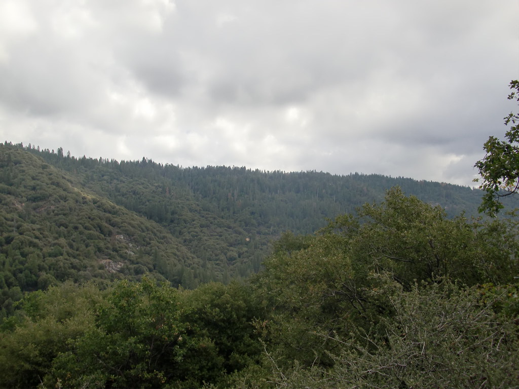
The Hollow
Hollow, The is a bouldering crag in California with 10 routes.
- 10 routes
- V0 – V7
- Bouldering
Is Hollow, The open right now?
Closure in the area
There's a closure order in Sierra National Forest. It doesn't name Hollow, The, so check the source for the area it covers (3 listed).
Safety Tips for Burned Areas: Garnet Fire Area
Agency closure covering Sierra National Forest · USFS · Sierra National Forest
Wilderness Food and Refuse Storage
Agency closure covering Sierra National Forest · Order 05-15-00-26-03 · USFS · Sierra National Forest
Food and Refuse Storage
Agency closure covering Sierra National Forest · Order 05-15-00-26-02 · USFS · Sierra National Forest
Forest Order removes Fish Camp, Soda Springs, and Little Jackass from closure list
Agency alert covering Sierra National Forest · Order 05-15-00-26-11 · USFS · Sierra National Forest
Ansel Adams and John Muir Wilderness Campfire Restrictions
Agency alert covering Sierra National Forest · Order 05-15-00-26-09 · USFS · Sierra National Forest
As of · Source: USFS · Sierra National Forest. Agencies don't list every closure — check before you go.
Best time to visit The Hollow
Best months: May–October. Best months have typical highs of 55–85 °F, lows of 30 °F or warmer (32 °F where the station doesn't record snow), at most one snowy day and no more than 12 wet days.
Jan
45° / 27°
9 wet
Feb
46° / 27°
9 wet
Mar
50° / 28°
10 wet
Apr
55° / 31°
7 wet
May
63° / 37°
5 wet
Jun
73° / 44°
2 wet
Jul
80° / 51°
1 wet
Aug
80° / 49°
1 wet
Sep
75° / 45°
2 wet
Oct
64° / 37°
4 wet
Nov
53° / 30°
6 wet
Dec
44° / 26°
9 wet
Typical high / low (°F) and days with rain or snow, 1991–2020. Measured at So Entrance Yosemite Np, CA, 6.4 mi away at 5,047 ft. The station sits about 1,100 ft higher than this place, so expect it a little warmer here. This station doesn't record snowfall. Source: NOAA NCEI U.S. Climate Normals 1991–2020.
The Hollow is a bouldering area in the Bass Lake Ranger District of Sierra National Forest in California, managed by the Forest Service. It sits among a cluster of climbing spots, with The Motherload just 0.1 mile away and Lewis Creek about 0.3 mile off. The area is a compact bouldering destination, with 10 routes spread across a range of grades from V0 to V7. The most comfortable months for a visit are late spring through early fall. Typical averages from a nearby weather station show July and August highs around 80°F with lows near 50°F and only about one wet day a month. That station sits roughly 1,100 feet lower than the area, so temperatures here run cooler. The bouldering here is all on rock, with the routes listed as bouldering. The easiest is Hollow Heart at V0, and the hardest is "Going off the Rails" at V7. The Martin Trail and Deadman Trail are both within a mile for a walk after climbing.
Keep exploring — more climbs worth the drive
 Photo: Guywelch2000, CC BY-SA 4.0 (via Wikimedia Commons)
Enchanted Rock
~9 min drive
Enchanted Rock in California offers 11 sport climbing routes across 7 difficulty grades.
Photo: Guywelch2000, CC BY-SA 4.0 (via Wikimedia Commons)j. Hawk Dome
~9 min drive
j. Hawk Dome in California has 3 sport climbing routes spanning 3 difficulty grades.
Photo: Guywelch2000, CC BY-SA 4.0 (via Wikimedia Commons)Fresno Dome
~9 min drive
Fresno Dome in California has 12 climbing routes across 10 grades, offering sport and trad styles.
 Photo: Guywelch2000, CC BY-SA 4.0 (via Wikimedia Commons)
Talon
~19 min drive
Talon in California has 10 sport climbing routes across 6 difficulty grades.
Photo: Guywelch2000, CC BY-SA 4.0 (via Wikimedia Commons)Main Wall - Lower Left
~20 min drive
6 routes at Main Wall - Lower Left in California, ranging from moderate to hard difficulty.
Photo: Guywelch2000, CC BY-SA 4.0 (via Wikimedia Commons)High Eagle
~20 min drive
High Eagle in California has 10 climbing routes with sport and trad options.
 Photo: stevelyon, CC BY-SA 2.0 (via Flickr)
Corduroy
~20 min drive
Corduroy in California has 5 climbing routes ranging across 5 difficulty grades.
Lewis Creek
~0 min drive
Lewis Creek has 4 climbing routes in California, offering bouldering and trad.
Willow Creek Wall
~9 min drive
Willow Creek Wall in California has 9 climbing routes with sport and trad options.
Main Wall
~9 min drive
Main Wall in California has 15 climbing routes across 9 grades.