Soquel Campground
Campground
Campground · 0.6 mi from the trail
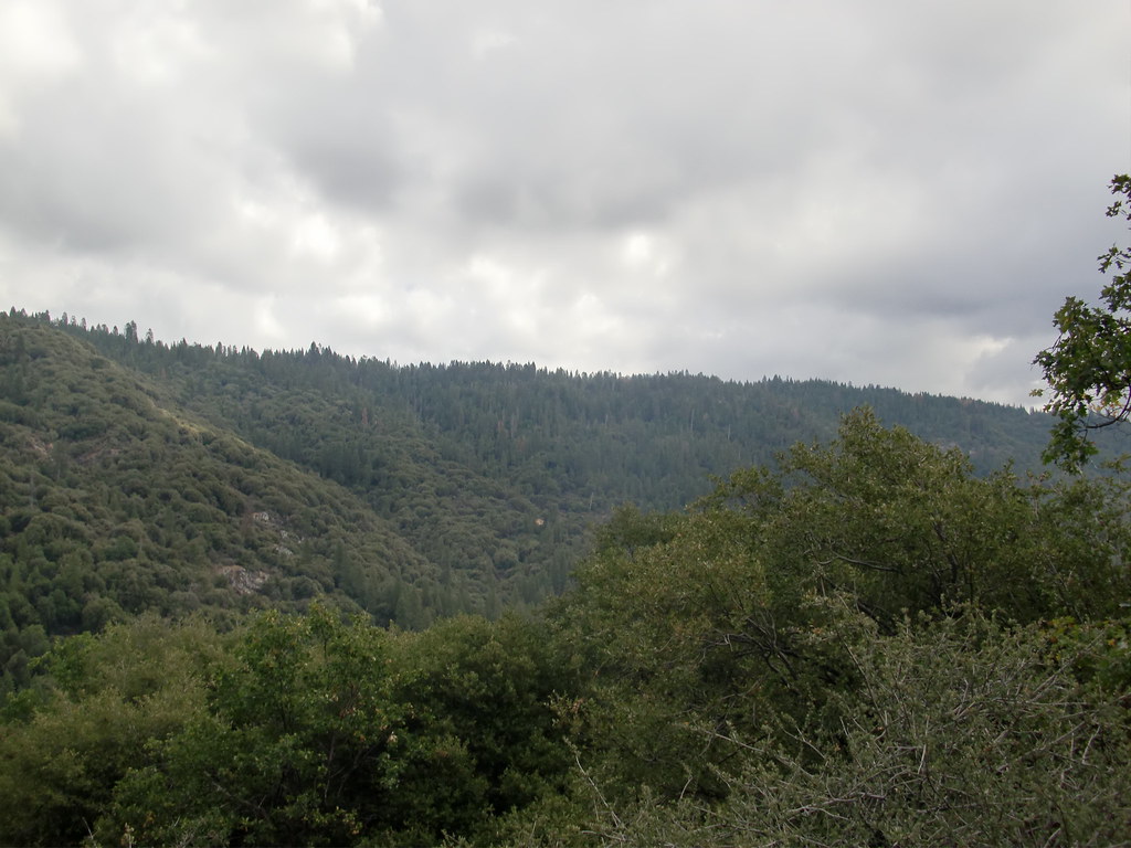
 Photo: niiicedave, CC BY-SA 2.0 (via Flickr)
Closure in the area
There's a closure order in Sierra National Forest. It doesn't name Rancho Trail, so check the source for the area it covers (3 listed).
Safety Tips for Burned Areas: Garnet Fire Area
Agency closure covering Sierra National Forest · USFS · Sierra National Forest
Wilderness Food and Refuse Storage
Agency closure covering Sierra National Forest · Order 05-15-00-26-03 · USFS · Sierra National Forest
Food and Refuse Storage
Agency closure covering Sierra National Forest · Order 05-15-00-26-02 · USFS · Sierra National Forest
Forest Order removes Fish Camp, Soda Springs, and Little Jackass from closure list
Agency alert covering Sierra National Forest · Order 05-15-00-26-11 · USFS · Sierra National Forest
Ansel Adams and John Muir Wilderness Campfire Restrictions
Agency alert covering Sierra National Forest · Order 05-15-00-26-09 · USFS · Sierra National Forest
As of · Source: USFS · Sierra National Forest. Agencies don't list every closure — check before you go.
Rancho Trail is a short, easy out-and-back hike in the Bass Lake Ranger District of Sierra National Forest in California, managed by the Forest Service. The trail is about 0.66 miles long, with a total elevation gain of 173 feet, and it starts at roughly 5,438 feet, reaching a high point of about 5,469 feet before returning to the starting level. Summer is the most comfortable time to go. Typical averages from a nearby weather station show July and August highs around 80°F with only about one wet day a month, while winter months bring highs in the mid-40s and lows near freezing. The trip takes about half an hour, so it works well as a quick stop before or after another outing. Soquel Campground is about 0.6 miles away, and the Bull Buck and Chimney Tree hikes are each within about a mile and a half. Climbers can find Willow Creek Wall about 2.5 miles off.
Soquel Campground
Campground
 If it rainsKevin R Foote, CC BY-SA 3.0 · Wikimedia Commons
Mariposa Grove Museum
Museum
Places © OpenStreetMap contributors, Places © Overture Maps Foundation · Photos: Kevin R Foote, CC BY-SA 3.0 (commons)
More in Yosemite ValleyNot on Roamze yet. Their page has how to reach them.
 Soquel CampgroundCampingPhoto: Recreation.gov (RIDB) / public domain0.6 mi
Source: Roamze catalog (indexable pages within 10 miles, PostGIS distance)
 Sky TrailHiking · ~3 min drivePhoto: niiicedave, CC BY-SA 2.0 (via Flickr)
 Deadman TrailHiking · ~7 min drivePhoto: Bluedevil266, CC BY 2.0 (via Flickr)Martin TrailHiking · ~7 min drivePhoto: Bluedevil266, CC BY 2.0 (via Flickr)Downslope TrailHiking · ~8 min drivePhoto: Bluedevil266, CC BY 2.0 (via Flickr)
 Cowboys TrailHiking · ~9 min drivePhoto: Giuseppe Milo, CC BY 3.0 (via Wikimedia Commons)
 Perimeter TrailHiking · ~11 min drivePhoto: Capt' Gorgeous, CC BY 2.0 (via Flickr)
 Washburn TrailHiking · ~11 min drivePhoto: Capt' Gorgeous, CC BY 2.0 (via Flickr)
Also worth it near here
Best months: May–October. Best months have typical highs of 55–85 °F, lows of 30 °F or warmer (32 °F where the station doesn't record snow), at most one snowy day and no more than 12 wet days.
Jan
45° / 27°
9 wet
Feb
46° / 27°
9 wet
Mar
50° / 28°
10 wet
Apr
55° / 31°
7 wet
May
63° / 37°
5 wet
Jun
73° / 44°
2 wet
Jul
80° / 51°
1 wet
Aug
80° / 49°
1 wet
Sep
75° / 45°
2 wet
Oct
64° / 37°
4 wet
Nov
53° / 30°
6 wet
Dec
44° / 26°
9 wet
Typical high / low (°F) and days with rain or snow, 1991–2020. Measured at So Entrance Yosemite Np, CA, 7.6 mi away at 5,047 ft. This station doesn't record snowfall. Source: NOAA NCEI U.S. Climate Normals 1991–2020.
Map and trail data © OpenStreetMap contributors


