Ahwahnee Hills Loop
 Photo: Jim Griffin, CC0 (via Wikimedia Commons)
- 2.8 mi
- loop
- 404 ft
- climb
- 2,577 ft
- high point
- Loop
- route
- Feb–May, Oct–Dec
- best months
Clear today
Weather is good · OpenWeather · checked just now
Ahwahnee Hills Loop is an easy 2.8-mile hike in California, about 1.2 miles from the small community of Nipinnawasee. The trail makes a full loop, so you finish where you started without retracing your steps. The loop begins at its high point, about 2,580 feet, and drops to a low of roughly 2,280 feet. Total climbing for the whole loop is about 400 feet, and you lose the same amount. Most of that climbing comes late in the hike as you work back up to the start. The steepest stretch, around a 12 percent grade, comes at about mile 2.6, just before the finish. Save some energy for that last pull. Spring and fall are the most comfortable seasons. A nearby weather station at a similar elevation records typical average highs of about 67°F in April and 78°F in October, while July and August averages reach about 95°F. The closest outing nearby is a paddle on the East Fork Chowchilla River, about 2.7 miles away. The Ridge and Sidewinder Trail hikes lie within 5 miles. For an overnight, Nelder Grove campground is about 9 miles off.
Local outfitters
- Mammoth Lakes Pack Outfit43 mi away
Not on Roamze yet. Their page has how to reach them.
- East Fork Chowchilla RiverCanoeing2.7 mi
- RIDGEHiking4.1 mi
- Sidewinder TrailHiking4.6 mi
- The HollowRock climbing6.3 mi
- The MotherloadRock climbing6.3 mi
- Nelder CreekCanoeing6.8 mi
- Nelder GroveCamping8.9 mi
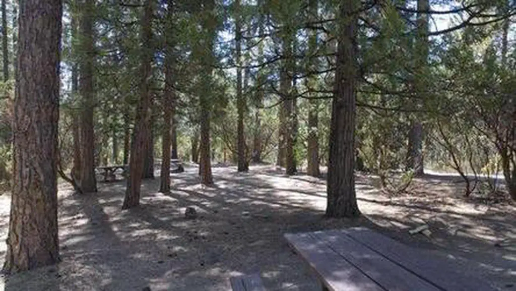 Crane ValleyCampingPhoto: Recreation.gov (RIDB) / public domain9 mi
Source: Roamze catalog (indexable pages within 10 miles, PostGIS distance)
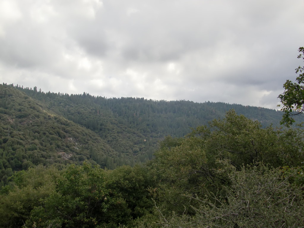 Downslope TrailHiking · ~9 min drivePhoto: Bluedevil266, CC BY 2.0 (via Flickr)
- Martin TrailHiking · ~10 min drivePhoto: Bluedevil266, CC BY 2.0 (via Flickr)
- Graveyard of GiantsHiking · ~15 min drive
- Deadman TrailHiking · ~10 min drivePhoto: Bluedevil266, CC BY 2.0 (via Flickr)
 Cowboys TrailHiking · ~15 min drivePhoto: Giuseppe Milo, CC BY 3.0 (via Wikimedia Commons)
 Perimeter TrailHiking · ~18 min drivePhoto: Capt' Gorgeous, CC BY 2.0 (via Flickr)
 Rancho TrailHiking · ~16 min drivePhoto: niiicedave, CC BY-SA 2.0 (via Flickr)
- Willow CreekHiking · ~17 min drive
 Washburn TrailHiking · ~18 min drivePhoto: Capt' Gorgeous, CC BY 2.0 (via Flickr)
- Mariposa Grove TrailHiking · ~18 min drivePhoto: Capt' Gorgeous, CC BY 2.0 (via Flickr)
Best time to visit Ahwahnee Hills Loop
Best months: February–May and October–December. Best months have typical highs of 55–85 °F, lows of 30 °F or warmer (32 °F where the station doesn't record snow), at most one snowy day and no more than 12 wet days.
Jan
57° / 31°
Feb
59° / 32°
Mar
63° / 35°
Apr
67° / 38°
May
77° / 45°
Jun
87° / 51°
Jul
95° / 58°
Aug
95° / 57°
Sep
90° / 52°
Oct
78° / 44°
Nov
65° / 37°
Dec
58° / 34°
Typical high / low (°F) and days with rain or snow, 1991–2020. Measured at N Fk Rs, CA, 16.4 mi away at 2,645 ft. This station doesn't record snowfall. Source: NOAA NCEI U.S. Climate Normals 1991–2020.

Map and trail data © OpenStreetMap contributors
