Las Lomitas Trail
At a glance
Las Lomitas Trail is a short, easy loop in Phoenix South Mountain Park, a city-managed park in Arizona. The trail is about 1.3 miles long, with a total elevation gain of 91 feet, and it makes a low-effort outing for a walk, ride or ride on horseback. The trail is a loop, and it sits at an elevation of about 1,500 feet, rising to roughly 1,580 feet. It is a compact route that works well as a quick stop or a warm-up before heading to other parts of the park. Winter and early spring are the most comfortable times to go. Typical averages from a nearby weather station in South Phoenix show January highs around 67°F and lows near 42°F, while summer highs climb into the 100s. The trail is close to several other spots. Gremlins and South Mountain are climbing areas about 0.3 miles away, and the Bajada Trail and Telegraph Pass Trail are hikes within a mile.
- distance
- 1.3 mi
- climb
- 91 ft
- high point
- 1,582 ft
- route
- Lollipop
- time
- About 30 minutes
- best months
- Nov–Apr
Where it is: Phoenix South Mountain Park
Near: Phoenix
Best time to visit Las Lomitas Trail
Best months: November–April. Best months have typical highs of 55–85 °F, lows of 30 °F or warmer (32 °F where the station doesn't record snow), at most one snowy day and no more than 12 wet days.
Jan
67°
42°
4 wet
Feb
71°
44°
4 wet
Mar
78°
48°
4 wet
Apr
85°
54°
2 wet
May
93°
61°
1 wet
Jun
101°
69°
1 wet
Jul
103°
77°
2 wet
Aug
101°
78°
3 wet
Sep
97°
71°
3 wet
Oct
87°
59°
2 wet
Nov
74°
48°
2 wet
Dec
65°
41°
3 wet
Typical high / low (°F) and days with rain or snow, 1991–2020. Measured at South Phoenix, AZ, 3 mi away at 1,155 ft. Source: NOAA NCEI U.S. Climate Normals 1991–2020.
Been here? Tell people how it was.
- GremlinsRock climbing0.3 mi
- South MountainRock climbing0.3 mi
- Wildlife Canyon (Closures in Effect)Rock climbing0.3 mi
- South Mountain Tower (Closures in Effect)Rock climbing0.3 mi
 Bajada TrailHikingPhoto: squeaks2569, CC BY-SA 2.0 (via Flickr)0.5 mi
- Telegraph Pass TrailHiking0.7 mi
- Kiwanis TrailHiking0.8 mi
- Judith Tunnell Challenge TrailHiking0.8 mi
- Bajada TrailHikingPhoto: squeaks2569, CC BY-SA 2.0 (via Flickr)Next door
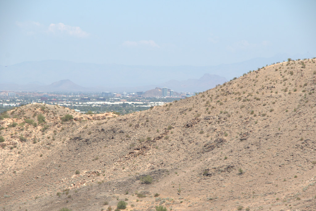 Max Delta TrailHikingPhoto: Ktr101, CC BY-SA 2.0 (via Flickr)~1 min drive
- Ranger TrailHikingPhoto: squeaks2569, CC BY-SA 2.0 (via Flickr)~2 min drive
- Hau'pal Loop TrailHikingPhoto: Ktr101, CC BY-SA 2.0 (via Flickr)~2 min drive
- T-Bone TrailHikingPhoto: Ktr101, CC BY-SA 2.0 (via Flickr)~2 min drive
- Ma-Ha-Tuak Perimeter TrailHiking~5 min drive
 Holbert TrailHikingPhoto: Mountain Mike Johans…, CC BY 3.0 (via Wikimedia Commons)~2 min drive
- Bajada TrailHikingPhoto: squeaks2569, CC BY-SA 2.0 (via Flickr)~2 min drive
- Alta TrailHiking~6 min drive
 Old Man TrailHikingPhoto: Mountain Mike Johans…, CC BY 3.0 (via Wikimedia Commons)~4 min drive
Conditions and forecast
Daily highs and lows, wind and the chance of precipitation at Start for the next 7 days, from the Open-Meteo model.
Ask about this place
Questions about Las Lomitas Trail: conditions, access, timing. Answers say when something isn't known.
Local outfitters
- VIP RV Resort30 mi away
- Arizona Desert Mountain Jeep Tours36 mi away
Not on Roamze yet. Their page has how to reach them.
Map and trail data © OpenStreetMap contributors
