Bull Basin Trail #40
At a glance
Bull Basin Trail #40 is a 7.7-mile out-and-back hike in the Williams Ranger District of Arizona's Kaibab National Forest, managed by the Forest Service. The trail rises from about 7,900 feet to roughly 10,100 feet, with a total elevation gain of 2,221 feet, and is rated moderate. The route starts at the lower end of the trail, around 7,913 feet, and climbs steadily to the high point at about 10,133 feet. That makes it a straightforward but substantial day, with the bulk of the ascent in the middle of the hike. Several other trails sit close by. Connector Trail #80 is less than a mile away, and Pumpkin Trail #39 is about 2 miles off. Kendrick Mountain Trail and Slate Mountain Trail #128 are both within about 3.5 miles. For an overnight stay, Spring Valley Cabin & Bunkhouse is about 8 miles away.
- round trip
- 7.7 mi
- climb
- 2,221 ft
- high point
- 10,133 ft
- route
- Out and back
- time
- About 3.5 hours
Where it is: Williams Ranger District · Kaibab National Forest
Near: Flagstaff
Been here? Tell people how it was.
- Connector Trail #80Hiking0.7 mi
- Pumpkin Trail #39Hiking2.2 mi
- Kendrick Mountain TrailHiking3.5 mi
 Slate Mountain Trail #128HikingPhoto: Coconino NF Photography, Public Domain Dedication (CC0) (via Flickr)3.6 mi
 Dog TrailHikingPhoto: joannapoe, CC BY-SA 2.0 (via Flickr)5.9 mi
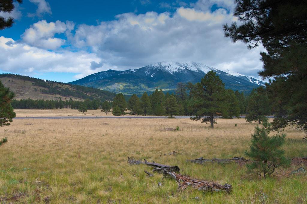 Kendrick Park Watchable LoopHikingPhoto: deborah.soltesz, Public Domain Dedication (CC0) (via Flickr)6.3 mi
 SnowflakeHikingPhoto: Coconino NF Photography, CC BY-SA 2.0 (via Flickr)6.5 mi
- Spring Valley Cabin & BunkhouseCamping7.8 mi
- Dog TrailHikingPhoto: joannapoe, CC BY-SA 2.0 (via Flickr)~10 min drive
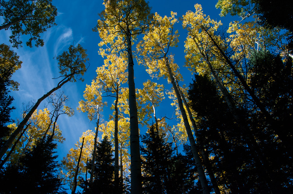 Bear JawHikingPhoto: Coconino NF Photography, Public Domain Dedication (CC0) (via Flickr)~19 min drive
 Rocky MotoHikingPhoto: InSapphoWeTrust from Los Angeles, California, USA, CC BY-SA 2.0 (via Wikimedia Commons)~24 min drive
- Humphreys Summit Trail #151Hiking~21 min drive
- Dog TrailHikingPhoto: joannapoe, CC BY-SA 2.0 (via Flickr)~10 min drive
 Inner Basin Trail #29HikingPhoto: Coconino NF Photography, Public Domain Mark (via Flickr)~24 min drive
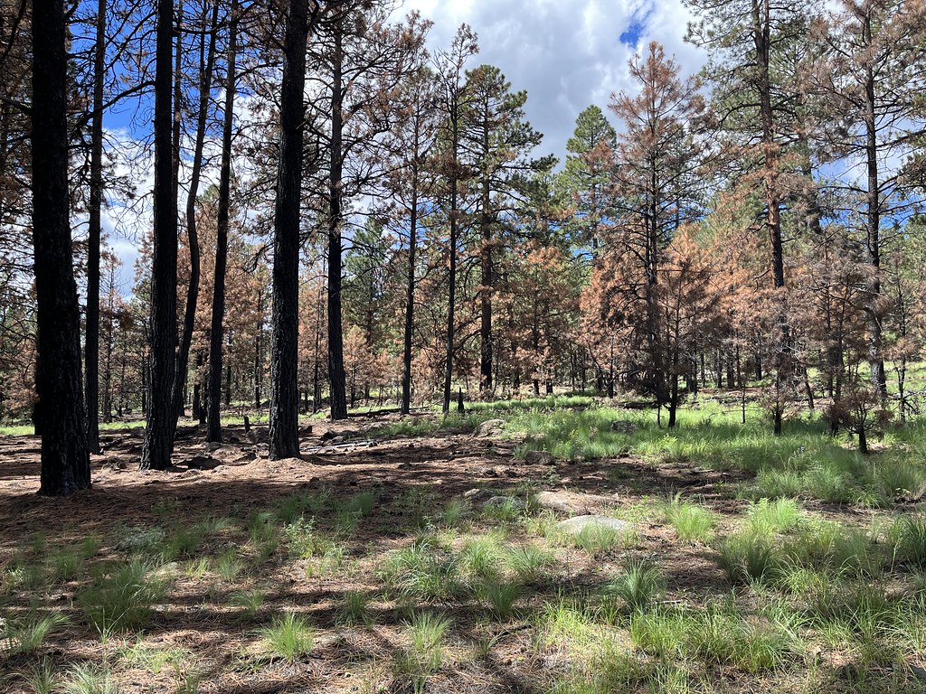 SecretHikingPhoto: Coconino NF Photography, Public Domain Mark (via Flickr)~26 min drive
- Pumpkin Trail #39Hiking~4 min drive
- Dog TrailHikingPhoto: joannapoe, CC BY-SA 2.0 (via Flickr)~11 min drive
 Arizona Trail-Fort ValleyHikingPhoto: ConspiracyofHappiness at Flickr, CC BY 2.0 (via Wikimedia Commons)~24 min drive
Conditions and forecast
Caution at last checkAgency alerts are in effect for this areaUSFS · checked 21 h agoDaily highs and lows, wind and the chance of precipitation at Start for the next 7 days, from the Open-Meteo model.

Ask about this place
Questions about Bull Basin Trail #40: conditions, access, timing. Answers say when something isn't known.
Local outfitters
- Village Camp13 mi away
- Four Season Guides20 mi away
Not on Roamze yet. Their page has how to reach them.
Map and trail data © OpenStreetMap contributors
