Four Mile Creek Campground
Campground
4.1 mi from the trail
 Photo: foto3116, CC BY 2.0 (via Flickr)
Mount Sherman from Iowa Gulch is a 2.1-mile out-and-back trail located in Colorado. This route provides access to Mount Sherman, one of Colorado's notable peaks in the region near Colorado. The trail follows Iowa Gulch as it ascends toward the summit. As an out-and-back route, hikers will travel the same path for both ascent and descent, making navigation straightforward. The 2.1-mile distance represents the total round-trip journey, offering a moderately sized hiking option for those exploring the area. This trail is well-suited for hikers looking to reach Mount Sherman's summit while using the Iowa Gulch approach. The out-and-back format allows hikers to set their own turnaround point if desired, providing flexibility for different fitness levels. The trail's proximity to Colorado makes it accessible for visitors exploring the state's mountain terrain. Whether hiking for peak-bagging or enjoying the alpine environment, Mount Sherman from Iowa Gulch offers a direct route to one of the region's peaks.
Where it is: Pike and San Isabel National Forests
Near: Leadville
Been here? Tell people how it was.
 Mount Sherman - Southwest Ridge from Fourmile CreekHikingPhoto: jl_2, CC BY-SA 2.0 (via Flickr)0.6 mi
 East Fork Arkansas RiverCanoeingPhoto: Jeffrey Beall, CC BY 3.0 (via Wikimedia Commons)7.5 mi
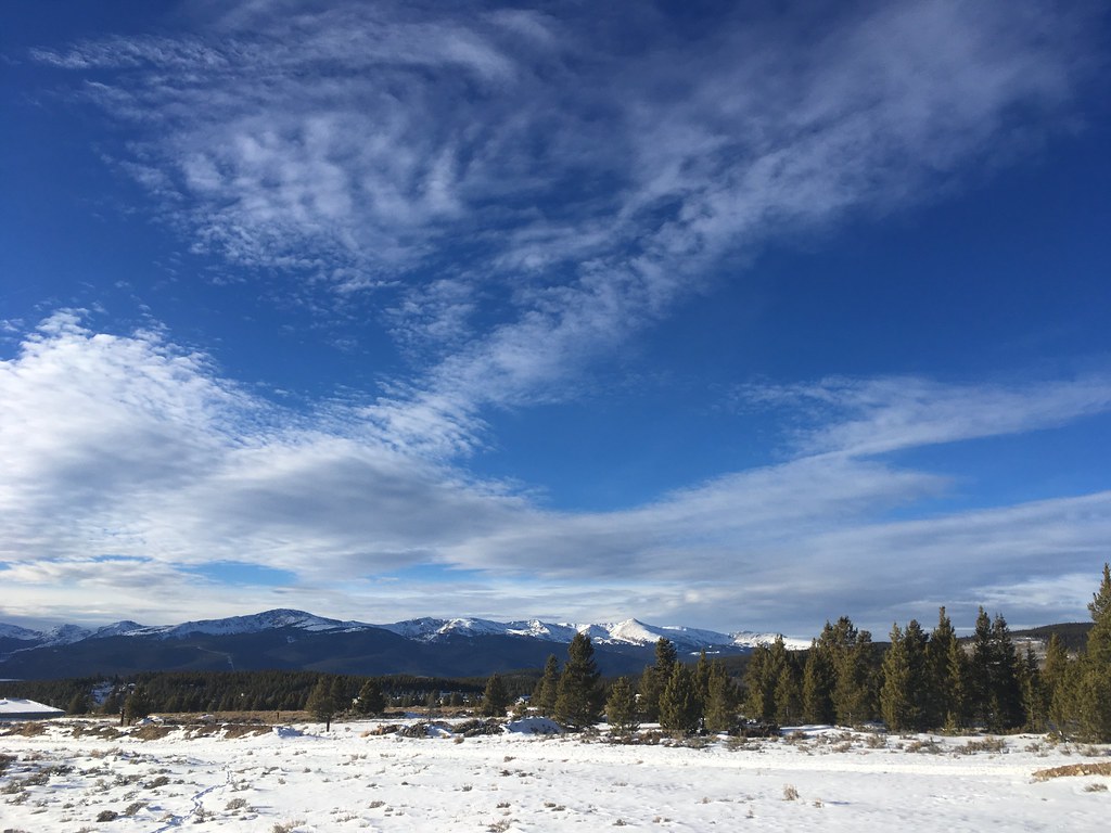 Dyer MountainHikingPhoto: christinejwarner, CC BY 2.0 (via Flickr)~1 min drive
 Loveland MountainHikingPhoto: QKC, CC BY-SA 3.0 (via Wikimedia Commons)~10 min driveMount EvansHikingPhoto: QKC, CC BY-SA 3.0 (via Wikimedia Commons)~10 min drive
 Beaver CreekHikingPhoto: ikewinski, CC BY 2.0 (via Flickr)~16 min drive
 Mount BrossHikingPhoto: jl_2, CC BY-SA 2.0 (via Flickr)~14 min drive
 London MountainHikingPhoto: QKC, CC BY-SA 3.0 (via Wikimedia Commons)~10 min driveWest Dyer MountainHikingPhoto: christinejwarner, CC BY 2.0 (via Flickr)~11 min drive
 BodfishHikingPhoto: markbyzewski, CC BY 2.0 (via Flickr)~17 min driveMount DemocratHikingPhoto: jl_2, CC BY-SA 2.0 (via Flickr)~14 min drive
 Mount CameronHikingPhoto: jl_2, CC BY-SA 2.0 (via Flickr)~14 min drive
Also worth it near here
 Mount SheridanSummitPhoto: John Holm, CC BY 2.5 (via Wikimedia Commons)~1 min drive
 Mineral Belt TrailCross-country skiingPhoto: Famartin, CC BY-SA 4.0 (via Wikimedia Commons)~11 min drive
Daily highs and lows, wind and the chance of precipitation at the summit and route start for the next 7 days, from the Open-Meteo model.
Questions about Mount Sherman from Iowa Gulch: conditions, access, timing. Answers say when something isn't known.
Four Mile Creek Campground
Campground
Casa Blanca Restaurant
Restaurant
 If it rainsPlazak, CC BY 3.0 · Wikimedia Commons
Matchless Mine
Attraction
Places © OpenStreetMap contributors · Photos: Plazak, CC BY 3.0 (commons)
More in LeadvilleAbout 4.3 mi round trip.
About 1,666 ft of climbing round trip.
It is rated hard.
3: Mount Sherman, Mount Sherman - Southwest Ridge from Fourmile Creek and Mount Sherman from Iowa Gulch.
Map and trail data © OpenStreetMap contributors
