Kite Lake Campground
Campground
Campground · 0.3 mi from the trail
 Photo: jl_2, CC BY-SA 2.0 (via Flickr)
Alert in the area
The Forest Service lists 8 alerts for Pike and San Isabel National Forests.
FSR 286, Radical Hill, is closed due to washouts and unsafe conditions
Agency alert covering Pike and San Isabel National Forests · USFS · Pike and San Isabel National Forests
Interlaken Hotel Tree Hazards
Agency alert covering Pike and San Isabel National Forests · USFS · Pike and San Isabel National Forests
National Forest Service Road 8 closure
Agency alert covering South Park Ranger District · Order 02-12-10-26-13 · USFS · South Park Ranger District
Sharpe Fire Update
Agency alert covering Pike and San Isabel National Forests · USFS · Pike and San Isabel National Forests
Turquoise Lake Road (County Road 4) Closure
Agency alert covering Pike and San Isabel National Forests · USFS · Pike and San Isabel National Forests
As of · Source: USFS · Pike and San Isabel National Forests. Agencies don't list every closure — check before you go.
Mount Democrat is a moderate out-and-back hike in Colorado's Pike and San Isabel National Forests, within the South Park Ranger District. The trail starts at Kite Lake Trailhead and climbs from about 12,016 feet to the summit at 14,155 feet, with a total elevation gain of 2,085 feet over a route of about 4.1 miles. The peak sits among a cluster of high points. Mount Lincoln and Mount Bross both lie about 0.1 mile away, and Kite Lake Campground is about 0.3 mile off, making this a natural base for exploring the surrounding summits. The Forest Service manages the land. For timing, late summer is the most comfortable stretch. Typical averages from a nearby weather station show July and August highs around 75°F with lows near 40°F, while September cools to highs in the mid-60s. The Middle Fork South Platte River, about 4.4 miles away, offers canoeing, and the Fremont Pass climbing area is about 4.5 miles off.
Kite Lake Campground
Campground
 If it rainsPlazak, CC BY 3.0 · Wikimedia Commons
Matchless Mine
Attraction
Places © OpenStreetMap contributors · Photos: Plazak, CC BY 3.0 (commons)
More in LeadvilleMount LincolnHikingPhoto: jl_2, CC BY-SA 2.0 (via Flickr)0.1 miMount BrossHikingPhoto: jl_2, CC BY-SA 2.0 (via Flickr)0.1 mi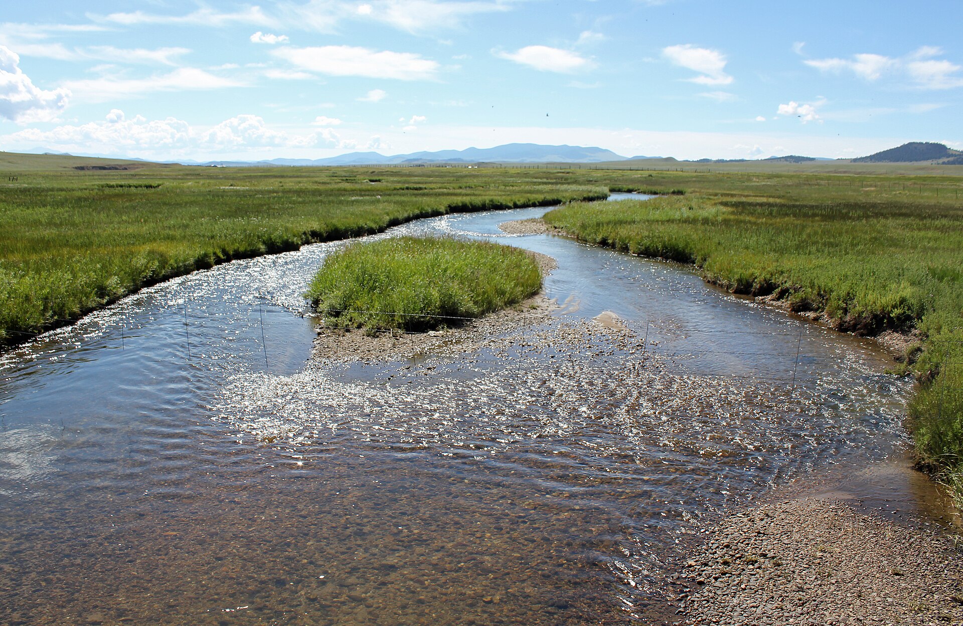 Middle Fork South Platte RiverCanoeingPhoto: Jeffrey Beall, CC BY 3.0 (via Wikimedia Commons)4.4 mi
 East Fork Arkansas RiverCanoeingPhoto: Jeffrey Beall, CC BY 3.0 (via Wikimedia Commons)6 mi
Source: Roamze catalog (indexable pages within 10 miles, PostGIS distance)
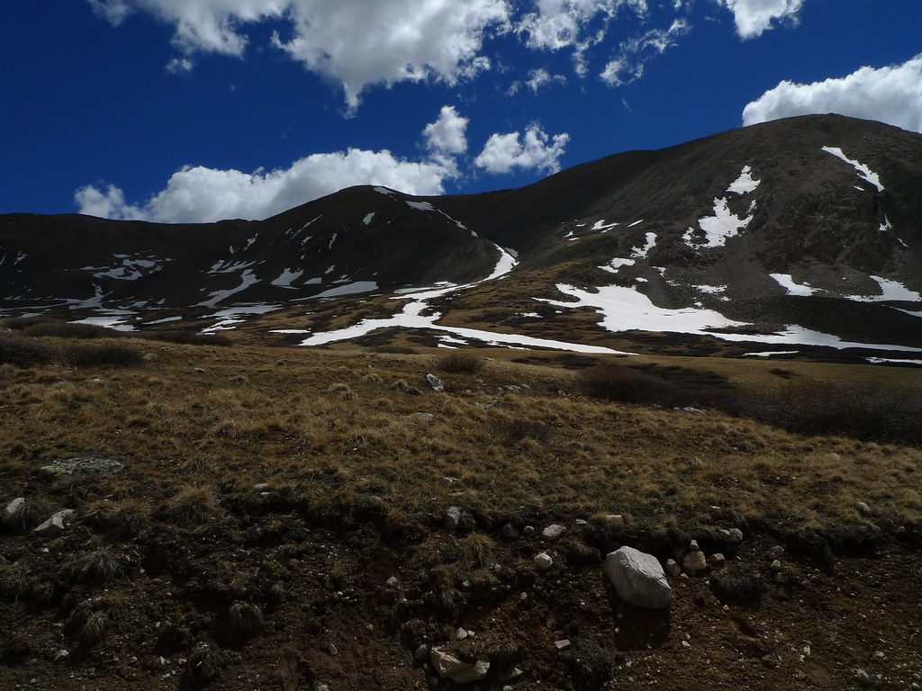 Mt Bross TrailHiking · Next doorPhoto: jl_2, CC BY-SA 2.0 (via Flickr)
 Mount EvansHiking · ~4 min drivePhoto: QKC, CC BY-SA 3.0 (via Wikimedia Commons)
 London MountainHiking · ~4 min drivePhoto: QKC, CC BY-SA 3.0 (via Wikimedia Commons)
 BemroseHiking · ~8 min drivePhoto: Christian Collins, CC BY-SA 2.0 (via Flickr)Pennsylvania MountainHiking · ~9 min drivePhoto: QKC, CC BY-SA 3.0 (via Wikimedia Commons)
 Mount SilverheelsHiking · ~8 min drivePhoto: ikewinski, CC BY 2.0 (via Flickr)
 Mount ArkansasHiking · ~4 min drivePhoto: Ken Lund from Las Vegas, Nevada, USA, CC BY-SA 2.0 (via Wikimedia Commons)
 Trail near Fletcher MountainHiking · ~8 min drivePhoto: jl_2, CC BY-SA 2.0 (via Flickr)
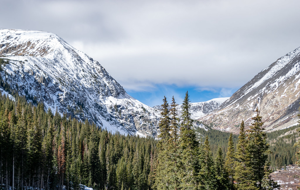 Hunter Lode RoadHiking · ~11 min drivePhoto: TerryDOtt, CC BY 2.0 (via Flickr)
 Red MountainHiking · ~8 min drivePhoto: Kevin R Foote, CC BY-SA 3.0 (via Wikimedia Commons)
Also worth it near here
Park at Kite Lake Trailhead.
About 4.1 mi round trip from Kite Lake Trailhead (about 12,142 ft).
About 2,085 ft of climbing round trip.
It is rated moderate.
Kite Lake Trailhead (about 12,142 ft).
Daily highs and lows, wind and the chance of precipitation at the summit and route start for the next 7 days, from the Open-Meteo model.
© openrouteservice.org by HeiGIT | Map data © OpenStreetMap contributors

