Manzanita.
Campground
Sites open the weekend of Dec 4 on Recreation.gov
Sterling Pass #46 is an easy, out-and-back hike in the Red Rock Ranger District of Coconino National Forest in northern Arizona. The Forest Service manages the surrounding land, and the trail covers about 3.6 miles with an elevation gain of 947 feet, starting at roughly 4,841 feet and reaching a high point of about 5,935 feet. Spring and fall are the most comfortable times to go. Typical averages from a nearby weather station at Oak Creek Canyon put April highs around 70°F and October highs around 74°F. That station sits lower than the trail's high point, so temperatures on the pass run cooler. The pass sits within a short drive of several other destinations. Oak Creek Canyon is about 0.3 miles away, and the Sterling Pass climbing area and Slide Rock Trail are each about 0.8 miles away. Manzanita campground is about half a mile off.
Where it is: Red Rock Ranger District · Coconino National Forest
Near: Oak Creek Canyon
Best months: March–May and September–November. Best months have typical highs of 55–85 °F, lows of 30 °F or warmer (32 °F where the station doesn't record snow), at most one snowy day and no more than 12 wet days.
Jan
54°
30°
Feb
57°
31°
Mar
64°
35°
Apr
70°
39°
May
78°
46°
Jun
88°
54°
Jul
90°
61°
Aug
88°
60°
Sep
84°
54°
Oct
74°
44°
Nov
63°
36°
Dec
53°
30°
Typical high / low (°F) and days with rain or snow, 1991–2020. Measured at Oak Creek Canyon, AZ, 1.7 mi away at 5,118 ft. The station sits about 800 ft lower than this place, so expect it a little cooler here. This station doesn't record snowfall. Source: NOAA NCEI U.S. Climate Normals 1991–2020.
Been here? Tell people how it was.
 Oak Creek CanyonRock climbingPhoto: Don Graham from Redlands, CA, USA - God bless it!, CC BY-SA 2.0 (via Wikimedia Commons)0.3 mi
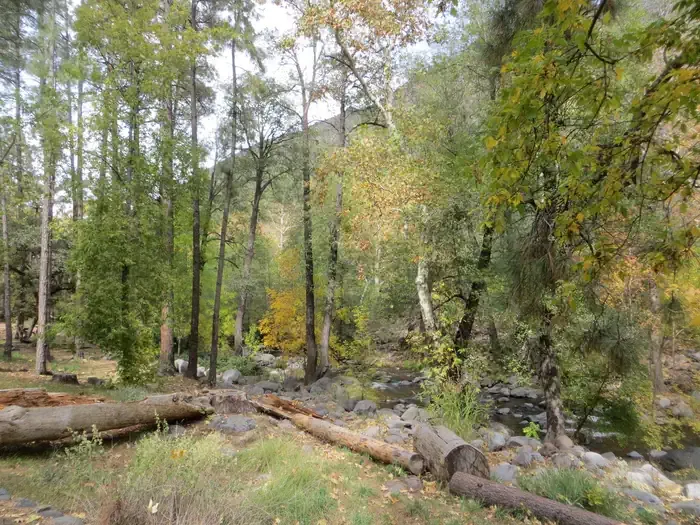 Manzanita.CampingPhoto: Recreation.gov (RIDB) / public domain0.5 mi
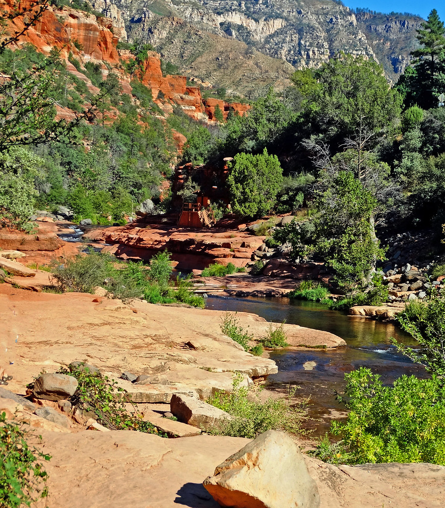 Slide Rock TrailHikingPhoto: inkknife_2000 (14 million views), CC BY-SA 2.0 (via Flickr)0.8 miClifftop TrailHikingPhoto: inkknife_2000 (14 million views), CC BY-SA 2.0 (via Flickr)0.8 mi
 Sterling PassRock climbingPhoto: davidpinter, CC BY 3.0 (via Wikimedia Commons)0.8 mi
 The Left WallRock climbingPhoto: Joe Stringer; Coconino National Forest, CC BY-SA 2.0 (via Wikimedia Commons)0.8 miSlide Rock TrailHikingPhoto: inkknife_2000 (14 million views), CC BY-SA 2.0 (via Flickr)~1 min drive
 Secret Canyon #121HikingPhoto: deborah.soltesz, Public Domain Dedication (CC0) (via Flickr)~6 min drive
 North Wilson #123HikingPhoto: inkknife_2000 (7.5 million views +), CC BY-SA 2.0 (via Wikimedia Commons)~2 min drive
 Wilson Mountain #10HikingPhoto: InSapphoWeTrust from Los Angeles, California, USA, CC BY-SA 2.0 (via Wikimedia Commons)~5 min driveClifftop TrailHikingPhoto: inkknife_2000 (14 million views), CC BY-SA 2.0 (via Flickr)~1 min drive
 Oak Creek Spur CHikingPhoto: Coconino NF Photography, Public Domain Mark (via Flickr)~6 min drive
 Casner CanyonHikingPhoto: inkknife_2000 (7.5 million views +), CC BY-SA 2.0 (via Wikimedia Commons)~6 min drive
 Wilson MountainHikingPhoto: deborah.soltesz, Public Domain Dedication (CC0) (via Flickr)~3 min drive
 TelephoneHikingPhoto: inkknife_2000 (7.5 million views +), CC BY-SA 2.0 (via Wikimedia Commons)~7 min drive
 Vultee Arch Trail #22HikingPhoto: deborah.soltesz, Public Domain Dedication (CC0) (via Flickr)~5 min drive
Also worth it near here
Daily highs and lows, wind and the chance of precipitation at Start for the next 7 days, from the Open-Meteo model.
Questions about Sterling Pass #46: conditions, access, timing. Answers say when something isn't known.
Manzanita.
Campground
Places © OpenStreetMap contributors, Places © Overture Maps Foundation
More in Kachina VillageNot on Roamze yet. Their page has how to reach them.
Map and trail data © OpenStreetMap contributors
