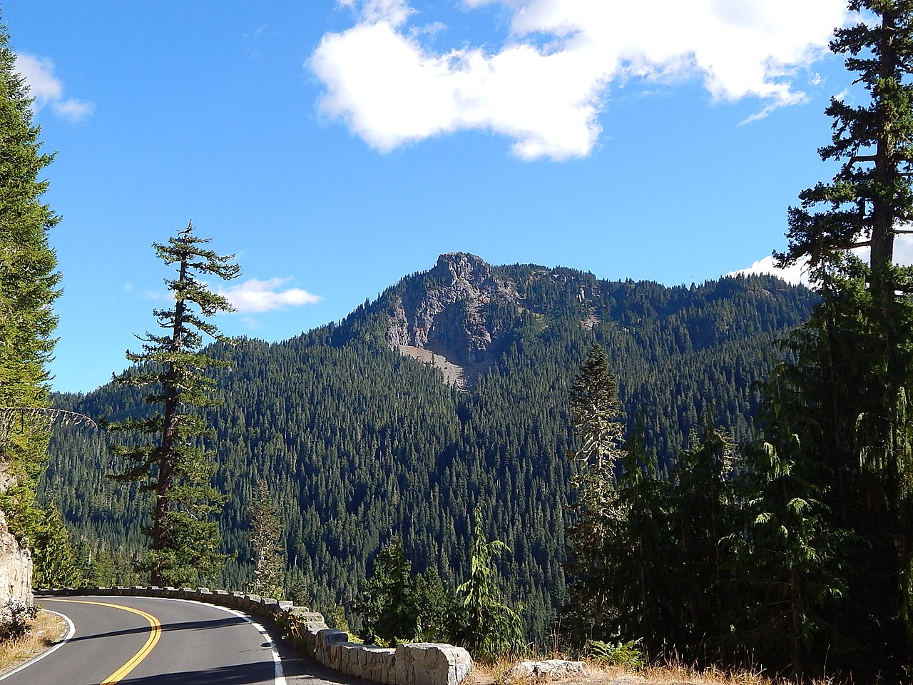
Granite Lake Dispersed Camping Area
Campground
1.0 mi from the trail
Deep Creek is an 8.1-mile paddling stretch near Naches, Washington, within the Naches Ranger District of the Okanogan-Wenatchee National Forest. The Forest Service manages the land along the creek, and the route is intermittent, with flow that may run dry in some seasons. USGS models an average flow of about 81 cubic feet per second and a gradient of about 83.4 feet per mile. Summer is the most comfortable time to paddle. Typical averages from a nearby weather station show July and August highs around 62 to 64°F with lows in the mid-40s, while winter highs stay in the low to mid 30s. Granite Lake campground sits about a mile away, and the Pear Butte Trail and Mount Aix Trail are both within about a mile and a half. The Bumping River, another paddling option, is about 2 miles off.
Where it is: Naches Ranger District · Okanogan-Wenatchee National Forest
Near: Packwood
Best months: July–September. Best months have typical highs of 55–85 °F, lows of 30 °F or warmer (32 °F where the station doesn't record snow), at most one snowy day and no more than 12 wet days.
Jan
34°
24°
Feb
34°
23°
Mar
36°
24°
Apr
40°
26°
May
48°
33°
Jun
54°
37°
Jul
62°
44°
Aug
64°
45°
Sep
57°
41°
Oct
46°
33°
Nov
37°
26°
Dec
33°
22°
Typical high / low (°F) and days with rain or snow, 1991–2020. Measured at Rainier Paradise Rs, WA, 19.8 mi away at 5,427 ft. The station sits about 1,300 ft higher than this place, so expect it a little warmer here. This station doesn't record snowfall. Source: NOAA NCEI U.S. Climate Normals 1991–2020.
Been here? Tell people how it was.
 Bumping RiverCanoeingPhoto: Williamborg 03:31, 29 May 2007 (UTC), Public domain (via Wikimedia Commons)2.2 mi
 Bumping Lake CampgroundCampingPhoto: Recreation.gov (RIDB) / public domain4.1 mi
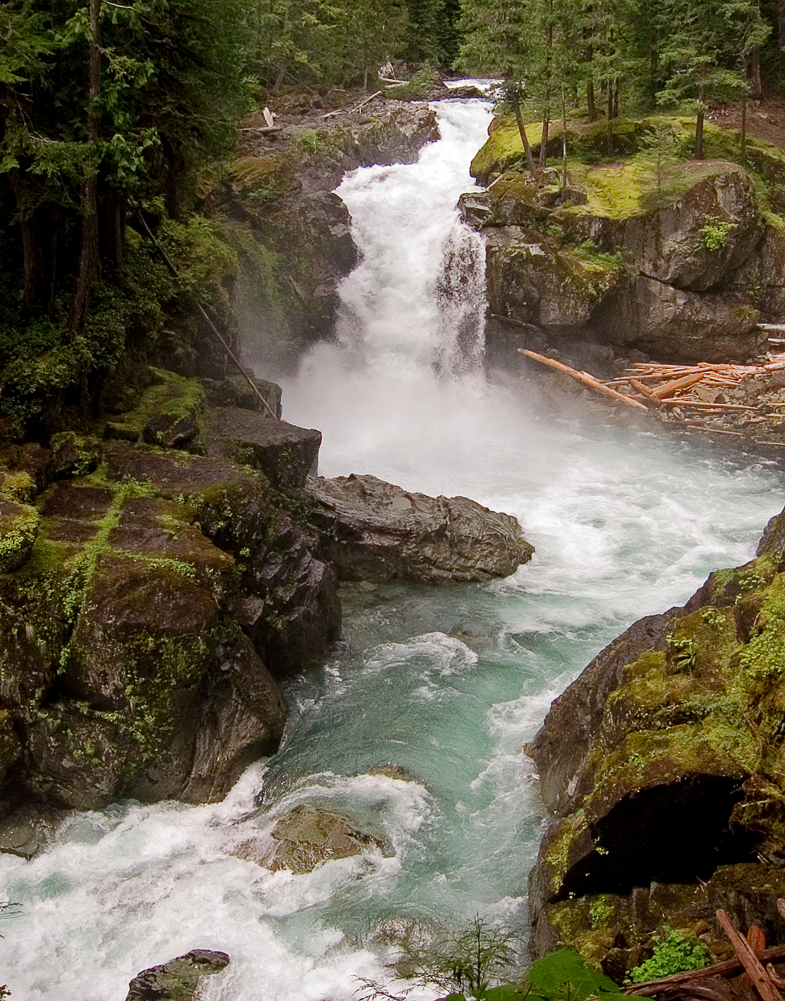 Ohanapecosh RiverCanoeingPhoto: Pfly, CC BY-SA 3.0 (via Wikimedia Commons)~21 min drive
 Tieton RiverCanoeingPhoto: Williamborg 04:31, 29 May 2007 (UTC), Public domain (via Wikimedia Commons)~25 min drive
 Nisqually RiverCanoeingPhoto: Ian Poellet, CC BY-SA 3.0 (via Wikimedia Commons)~39 min drive
 Naches RiverCanoeingPhoto: Williamborg 04:19, 29 May 2007 (UTC), Public domain (via Wikimedia Commons)~41 min drive
Daily highs and lows, wind and the chance of precipitation at Start for the next 7 days, from the Open-Meteo model.
Questions about Deep Creek: conditions, access, timing. Answers say when something isn't known.
Granite Lake Dispersed Camping Area
Campground
White Pass Taqueria + Taproom
Restaurant
 If it rainsSteven Pavlov, CC BY-SA 4.0 · Wikimedia Commons
Places © OpenStreetMap contributors · Photos: Steven Pavlov, CC BY-SA 4.0 (commons)
More in PackwoodNot on Roamze yet. Their page has how to reach them.
