Rio Ojo Caliente
At a glance
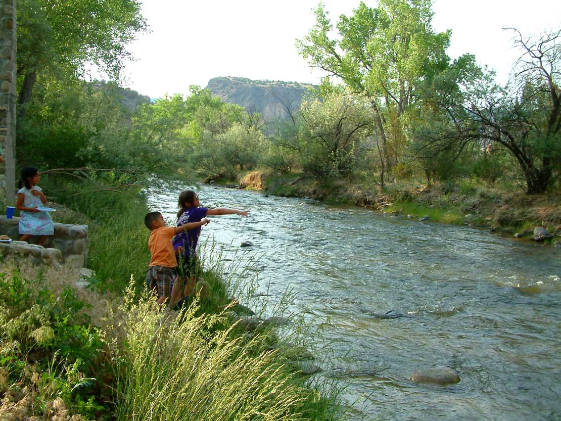
Rio Ojo Caliente is an 11-mile paddling stretch near La Madera, New Mexico, on land managed by the Bureau of Land Management's Taos Field Office. The river is intermittent and may run dry in some seasons. USGS models an average flow of about 74 cubic feet per second and a gradient of about 37 feet per mile. Late spring and early fall tend to be the most comfortable times to paddle. Typical averages from the nearby El Rito weather station, about 8 miles away, put May highs around 72°F and September highs around 76°F. July and August are warmer and wetter, with highs in the low 80s and about 9 to 10 wet days a month. The Posi Pueblo Trail and Cerro Negro Loop are both within about a mile. Climbers will find the 45 Degree Boulder and El Rito Sport Area roughly 10 miles away.
- distance
- 10.9 mi
- high point
- 6,497 ft
- best months
- Apr–Oct
Where it is: Taos Field Office
Near: Española
Best time to visit Rio Ojo Caliente
Best months: April–October. Best months have typical highs of 55–85 °F, lows of 30 °F or warmer (32 °F where the station doesn't record snow), at most one snowy day and no more than 12 wet days.
Jan
41°
18°
5 wet
Feb
46°
21°
4 wet
Mar
54°
26°
4 wet
Apr
63°
32°
4 wet
May
72°
40°
5 wet
Jun
81°
47°
5 wet
Jul
84°
54°
9 wet
Aug
82°
53°
10 wet
Sep
76°
46°
6 wet
Oct
65°
36°
5 wet
Nov
51°
25°
4 wet
Dec
41°
19°
4 wet
Typical high / low (°F) and days with rain or snow, 1991–2020. Measured at El Rito, NM, 8 mi away at 6,870 ft. This station doesn't record snowfall. Source: NOAA NCEI U.S. Climate Normals 1991–2020.
Been here? Tell people how it was.
 Posi Pueblo TrailHikingPhoto: j_hoesing, CC BY 2.0 (via Flickr)1 mi
 Cerro Negro LoopHikingPhoto: j_hoesing, CC BY 2.0 (via Flickr)1.3 mi
- 45 Degree BoulderRock climbing9.6 mi
- El Rito Sport AreaRock climbing9.6 mi
- The BalconyRock climbing9.7 mi
- Rad WallRock climbing9.7 mi
- Super SlabRock climbing9.7 mi
- Gnar Wall and Route CanalRock climbing9.7 mi
 Embudo CreekCanoeingPhoto: Carptrash, CC BY-SA 3.0 (via Wikimedia Commons)~28 min drive
- County Line Boat LaunchBoat launch~21 min drive
 Santa Cruz RiverCanoeingPhoto: Dicklyon, CC BY-SA 4.0 (via Wikimedia Commons)~40 min drive
- Quartzite Boat LaunchBoat launch~25 min drive
 Red RiverCanoeingPhoto: Billy Hathorn at en.wikipedia, CC BY-SA 3.0 (via Wikimedia Commons)~1h 7m drive
- Lone Juniper Boat TakeoutBoat launch~26 min drive
- Rio VallecitosCanoeing~29 min drive
- Taos Junction Bridge Boat LaunchBoat launch~30 min drive
- Rio Santa BarbaraCanoeing~43 min drive
- John Dunn Bridge Boat LaunchBoat launch~41 min drive
Conditions and forecast
Clear at last checkDetails in the tracked factors belowusgs_nwis · checked 23 h agoDaily highs and lows, wind and the chance of precipitation at Start for the next 7 days, from the Open-Meteo model.

Ask about this place
Questions about Rio Ojo Caliente: conditions, access, timing. Answers say when something isn't known.
Local outfitters
- Kokopelli Rafting Adventures46 mi away
Not on Roamze yet. Their page has how to reach them.
