Columbine
Campground
0.3 mi from the trail
 Photo: Billy Hathorn at en.wikipedia, CC BY-SA 3.0 (via Wikimedia Commons)
Red River is a 27-mile paddling stretch of the Red River in northern New Mexico, near the town of Red River. It runs year-round, and the river flows at an average of about 54 cubic feet per second, with a gradient of roughly 103.6 feet per mile, according to USGS models. The stretch lies within the Questa Ranger District of Carson National Forest. Summer is the most comfortable time to paddle. A nearby weather station records typical July highs around 75°F and lows near 42°F, though July and August also bring the most wet days of the year, about 15 to 16. That station sits roughly 740 feet below the river, so temperatures on the water run a little cooler. Columbine Campground is just 0.3 miles away, and Goat Hill Campground is 1.5 miles off. Columbine Creek Trail #71 and Placer Fork are hiking options within about 2 miles.
Where it is: Questa Ranger District · Carson National Forest
Near: Questa
Best months: June and September. Best months have typical highs of 55–85 °F, lows of 30 °F or warmer (32 °F where the station doesn't record snow), at most one snowy day and no more than 12 wet days.
Jan
35°
7°
7 wet
Feb
37°
9°
8 wet
Mar
45°
16°
10 wet
Apr
52°
23°
9 wet
May
62°
30°
9 wet
Jun
72°
36°
10 wet
Jul
75°
42°
15 wet
Aug
72°
40°
16 wet
Sep
68°
34°
10 wet
Oct
56°
25°
7 wet
Nov
44°
16°
7 wet
Dec
35°
8°
7 wet
Typical high / low (°F) and days with rain or snow, 1991–2020. Measured at Red River, NM, 5.6 mi away at 8,667 ft. The station sits about 700 ft lower than this place, so expect it a little cooler here. This station doesn't record snowfall. Source: NOAA NCEI U.S. Climate Normals 1991–2020.
Been here? Tell people how it was.
 Costilla CreekCanoeingPhoto: Jeffrey Beall, CC BY 4.0 (via Wikimedia Commons)~31 min drive
 Culebra CreekCanoeingPhoto: Jeffrey Beall, CC BY-SA 3.0 (via Wikimedia Commons)~59 min drive
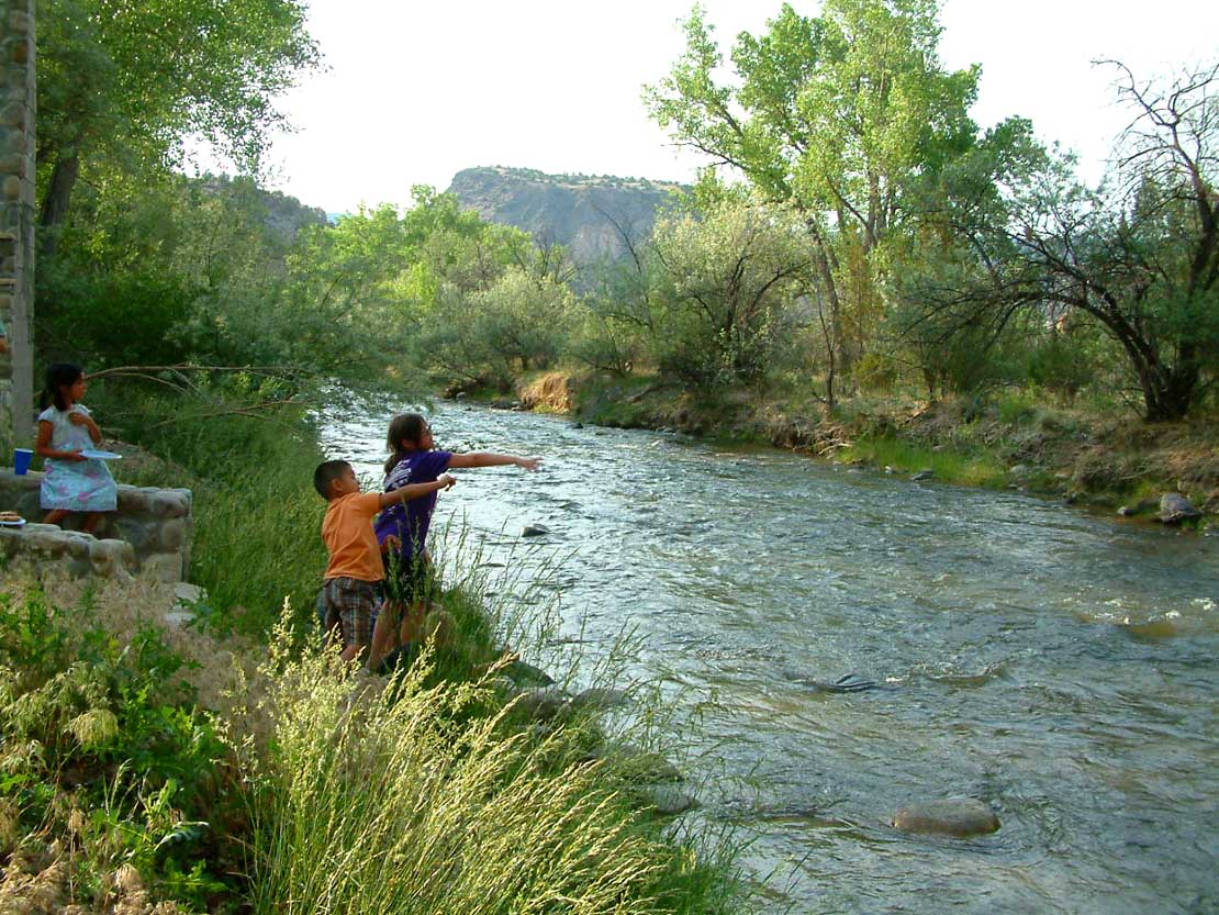 Embudo CreekCanoeingPhoto: Carptrash, CC BY-SA 3.0 (via Wikimedia Commons)~1h 5m drive
 Cimarron RiverCanoeingPhoto: Alan Gross, CC BY-SA 3.0 (via Wikimedia Commons)~1h 8m drive
 Conejos RiverCanoeingPhoto: JustTooLazy, CC BY 2.0 (via Wikimedia Commons)~1h 20m drive
Daily highs and lows, wind and the chance of precipitation at Start for the next 7 days, from the Open-Meteo model.
Questions about Red River: conditions, access, timing. Answers say when something isn't known.
Columbine
Campground
 If it rainsKhlnmusa, CC BY-SA 3.0 · Wikimedia Commons
Places © OpenStreetMap contributors · Photos: Khlnmusa, CC BY-SA 3.0 (commons)
More in Arroyo Seco