Glenn Camp
Campground
0.8 mi from the trail
 Photo: Eeekster, CC BY 3.0 (via Wikimedia Commons)
The West Fork San Gabriel River is a 15-mile paddling stretch near Azusa, California, within the San Gabriel Mountains National Monument Ranger District of Angeles National Forest. The Forest Service manages the land along it. The river is intermittent and may run dry in some seasons. USGS models an average flow of about 153 cubic feet per second and a gradient of about 130.9 feet per mile. Spring and fall are the most comfortable times to paddle. Typical averages from the Pearblossom weather station, about 18 miles away, show April highs near 75°F and October highs near 80°F, while July and August average around 98 to 99°F. Glenn Camp campground sits less than a mile away, and Spring Camp is about 2 miles off. The Rincon Red Box Truck Trail and Monrovia Canyon Truck Trail are both within about 3.5 miles.
Where it is: San Gabriel Mountains National Monument Ranger District · Angeles National Forest
Near: Los Angeles
Mid-January to early June and late September to early December are usually best for paddling here.
Typical highs of 60–88°F and lows of 38°F or warmer in those weeks.
Typical weather: NOAA 1991–2020 normals at Pearblossom, CA, 18 mi away. Not a forecast.
Typical weather by monthBest months: January–May and October–November. Best months are the ones mostly made of the best weeks for paddling: typical temperatures in its comfortable range, few snowy days and not usually wet, judged with the same limits as our good-day forecasts.
Jan
60°
38°
4 wet
Feb
63°
39°
4 wet
Mar
69°
42°
3 wet
Apr
75°
45°
2 wet
May
84°
53°
1 wet
Jun
93°
61°
0 wet
Jul
99°
67°
1 wet
Aug
98°
67°
1 wet
Sep
91°
62°
1 wet
Oct
80°
53°
1 wet
Nov
67°
43°
2 wet
Dec
58°
36°
4 wet
Typical high / low (°F) and days with rain or snow, 1991–2020. Measured at Pearblossom, CA, 18.2 mi away at 3,101 ft. Source: NOAA NCEI U.S. Climate Normals 1991–2020.
Been here? Tell people how it was.
 Monrovia Canyon Truck TrailHikingPhoto: roger4336, CC BY-SA 2.0 (via Wikimedia Commons)3.3 mi
 San Gabriel RiverCanoeingPhoto: Emarateyya, Muna Al Zaabi, CC BY-SA 3.0 (via Wikimedia Commons)8.5 mi
 Rio HondoCanoeingPhoto: Cromagnom, CC BY-SA 3.0 (via Wikimedia Commons)~27 min drive
 Santa Clara RiverCanoeingPhoto: brewbooks, CC BY-SA 2.0 (via Wikimedia Commons)~1h 14m drive
 Santa Ana RiverCanoeingPhoto: Basar, CC BY-SA 3.0 (via Wikimedia Commons)~1h 16m drive
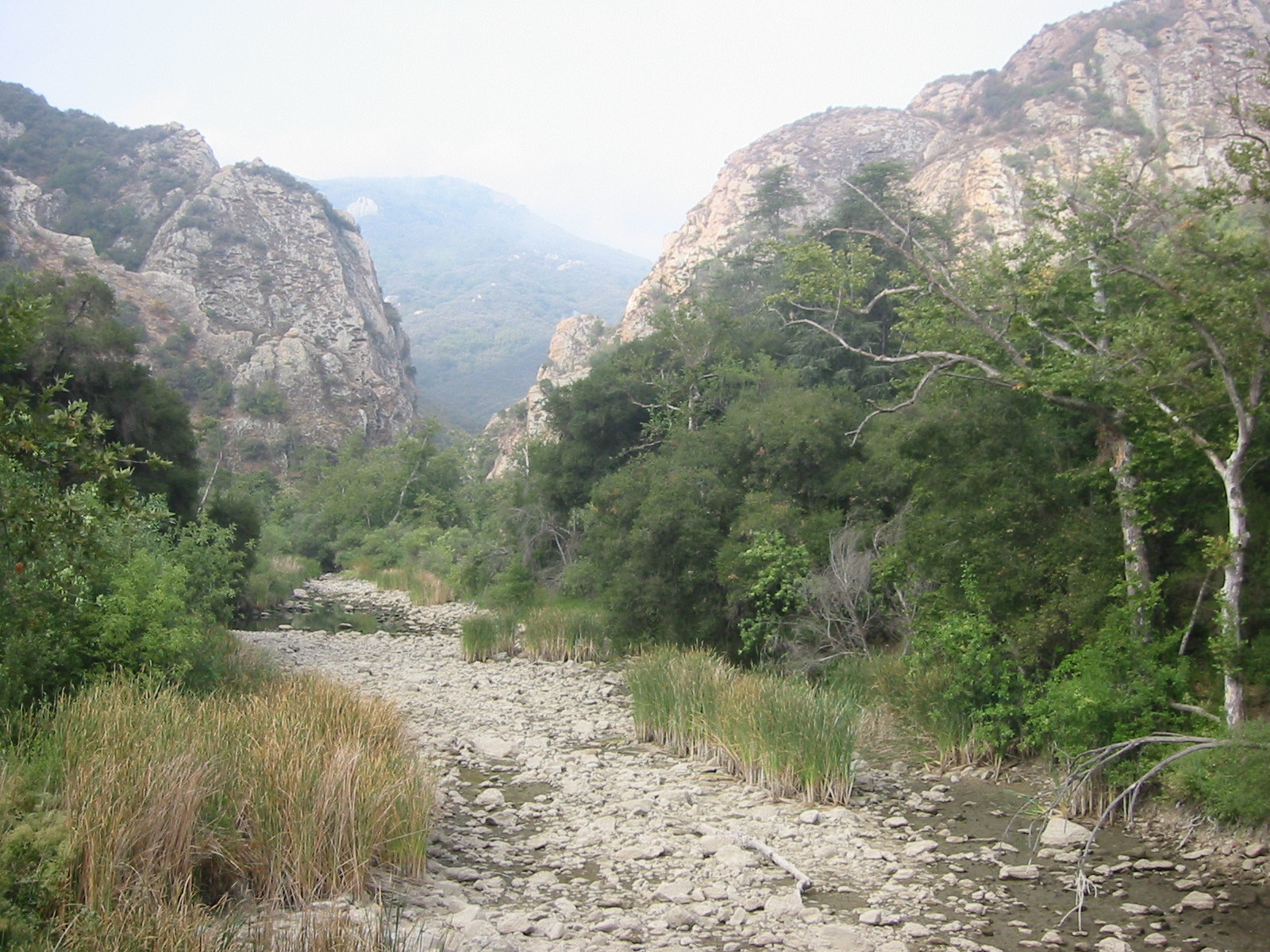 Malibu CreekCanoeingPhoto: Tobin/tobo, Rochester, NY, USA, CC BY-SA 2.0 (via Wikimedia Commons)~1h 17m driveSan Gabriel RiverCanoeingPhoto: Emarateyya, Muna Al Zaabi, CC BY-SA 3.0 (via Wikimedia Commons)~15 min drive
Also worth it near here
Monrovia Canyon Truck TrailHikingPhoto: roger4336, CC BY-SA 2.0 (via Wikimedia Commons)~6 min drive Mount WilsonSummitPhoto: The original uploader was Geographer at English Wikipedia., CC BY 1.0 (via Wikimedia Commons)~10 min drive
Daily highs and lows, wind and the chance of precipitation at Start for the next 7 days, from the Open-Meteo model.
Questions about West Fork San Gabriel River: conditions, access, timing. Answers say when something isn't known.
Glenn Camp
Campground
 If it rainsCullen328, CC BY-SA 3.0 · Wikimedia Commons
Places © OpenStreetMap contributors · Photos: Cullen328, CC BY-SA 3.0 (commons)
More in ActonNot on Roamze yet. Their page has how to reach them.
