Marshall Peak
At a glance
Marshall Peak is a summit of 4,014 feet in the Front Country Ranger District of San Bernardino National Forest in California, about 3 miles from the town of Crestline. Late spring and early fall are the most comfortable times to go. Typical averages from the Lake Arrowhead weather station, about 7 miles away, show May highs near 67°F and September highs near 74°F, with only a day or two of rain each month. That station sits roughly 1,200 feet higher than the peak, so temperatures on the summit run a little warmer. The Cloudland Truck Trail starts just 0.3 miles away. Lake Gregory County Regional Park and the Lake Gregory Trail are both within about 3 miles, and Temple Rock offers climbing at a similar distance.
- summit
- 4,014 ft
- way up
- 1
- best months
- Apr–Oct
Where it is: Front Country Ranger District · San Bernardino National Forest
Near: San Bernardino
Best time to visit Marshall Peak
Best months: April–October. Best months have typical highs of 55–85 °F, lows of 30 °F or warmer (32 °F where the station doesn't record snow), at most one snowy day and no more than 12 wet days.
Jan
44°
29°
6 wet · 1 snow
Feb
45°
30°
6 wet · 1 snow
Mar
52°
32°
6 wet · 1 snow
Apr
60°
36°
4 wet · 1 snow
May
67°
41°
2 wet
Jun
76°
49°
1 wet
Jul
81°
57°
1 wet
Aug
82°
57°
1 wet
Sep
74°
52°
1 wet
Oct
63°
43°
2 wet
Nov
52°
34°
3 wet
Dec
43°
29°
5 wet · 1 snow
Typical high / low (°F) and days with rain or snow, 1991–2020. Measured at Lake Arrowhead, CA, 7 mi away at 5,205 ft. The station sits about 1,200 ft higher than this place, so expect it a little warmer here. Source: NOAA NCEI U.S. Climate Normals 1991–2020.
Been here? Tell people how it was.
Map © Mapbox © OpenStreetMap contributors - Pilot Rock5,242 ft · California1 route5.5 mi away
- The Pinnacles5,728 ft · California1 route8.0 mi away
- Cleghorn Mountain5,334 ft · California2 routes8.5 mi away
 Mount Jurupa2,221 ft · California1 route15 mi awayPhoto: Scottthezombie, CC BY-SA 4.0 (via Wikimedia Commons)
- Cram Peak4,165 ft · California1 route15 mi away
- Baldy Mesa4,708 ft · California2 routes15 mi away
- Cloudland Truck TrailHiking0.3 mi
- Lake Gregory County Regional ParkLake fishing2.7 mi
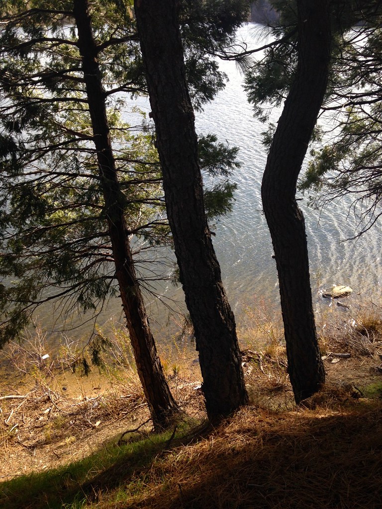 Lake Gregory TrailHikingPhoto: bdearth, CC BY 2.0 (via Flickr)2.9 mi
- Temple RockRock climbing3 mi
- Sphinx RockRock climbing3 mi
- Cajon WashCanoeing5 mi
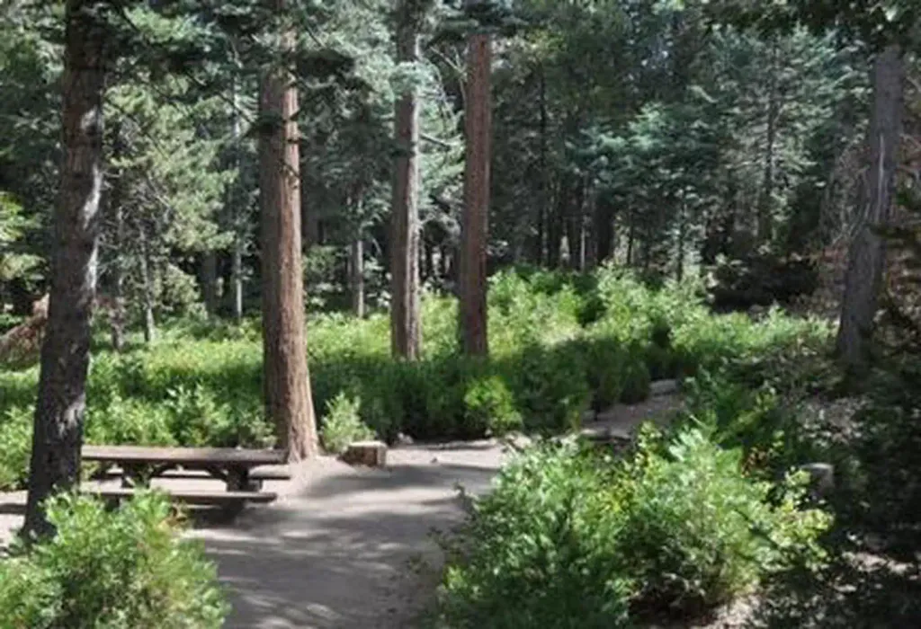 DogwoodCampingPhoto: Recreation.gov (RIDB) / public domain5.3 mi
- North Shore (ca)Camping8.6 mi
- Mount JurupaSummitPhoto: Scottthezombie, CC BY-SA 4.0 (via Wikimedia Commons)~25 min drive
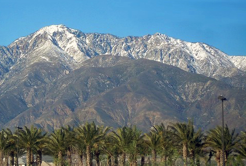 Cucamonga PeakSummitPhoto: Cliff Hutson; later cropping and color editing by Daniel Case., CC BY 2.0 (via Wikimedia Commons)~28 min drive
 Mount RubidouxSummitPhoto: No machine-readable author provided. Takwish assumed (based on copyright claims)., CC BY-SA 2.5 (via Wikimedia Commons)~28 min drive
 Iron MountainSummitPhoto: Self, CC BY 3.0 (via Wikimedia Commons)~41 min drive
 Slover MountainSummitPhoto: Unknown authorUnknown author, Public domain (via Wikimedia Commons)~18 min drive
 Timber MountainSummitPhoto: Mitch Barrie (simonov), CC BY-SA 2.0 (via Wikimedia Commons)~29 min drive
- Pilot RockSummit~9 min drive
- The PinnaclesSummit~14 min drive
- Cleghorn MountainSummit~15 min drive
- Baldy MesaSummit~26 min drive
Conditions and forecast
Daily highs and lows, wind and the chance of precipitation at the summit and route start for the next 7 days, from the Open-Meteo model.
Questions about Marshall Peak
How tall is Marshall Peak?
4,014 ft (1,223 m).
How many routes go to the summit of Marshall Peak?
One: Cloudland Truck Trail.

Ask about this place
Questions about Marshall Peak: conditions, access, timing. Answers say when something isn't known.
