
Musch Hike-In Camp
Campground
2.9 mi from the trail
 Photo: timatymusic, CC BY 2.0 (via Flickr)
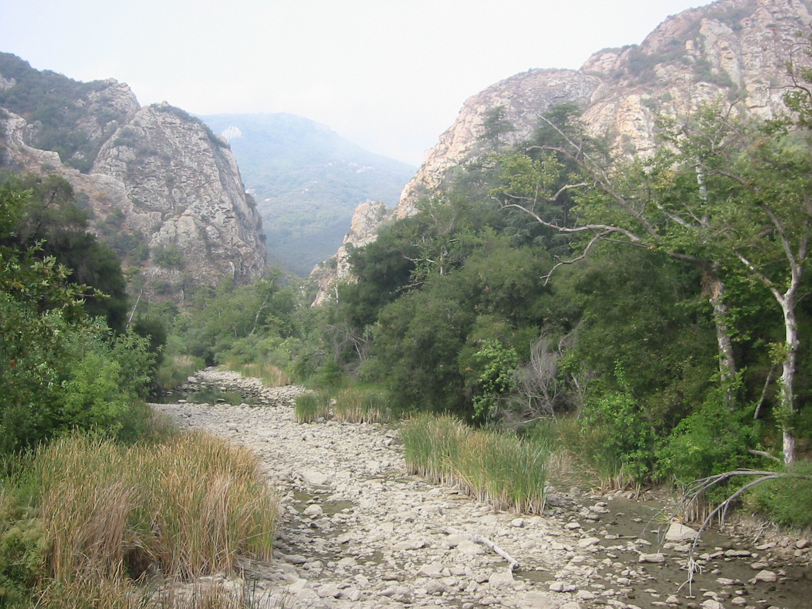
Main Wall is a climbing area in Santa Ynez Canyon Park, a city-managed park in California. It sits among a cluster of climbing spots, with Tick Rock just 0.1 mile away and The Purple Pyramid about 2 miles off. The park's city ownership makes it a straightforward base for a day of sport climbing. The area has 11 routes, 10 of them sport and one mixed. Grades run from 5.8 up to 5.13b, with the median around 5.10c. The Pyramid and Yahoo Predator are two of the more notable climbs, and Turning Point, a 5.11d, was first climbed by Louie Anderson in 2002. For a change from the rock, Wire Break Trail is 0.5 mile away and Parker Mesa Overlook Trail is 0.9 mile away. The Purple Pyramid, another climbing area, is 2 miles off.
11 routes · 5.8 – 5.13b · Sport · Mixed
Where it is: Santa Ynez Canyon Park
Near: Los Angeles
Best months: Year-round. Best months have typical highs of 55–85 °F, lows of 30 °F or warmer (32 °F where the station doesn't record snow), at most one snowy day and no more than 12 wet days.
Jan
68°
52°
6 wet
Feb
67°
51°
6 wet
Mar
68°
52°
5 wet
Apr
70°
54°
3 wet
May
70°
56°
2 wet
Jun
73°
59°
1 wet
Jul
77°
62°
1 wet
Aug
79°
63°
0 wet
Sep
79°
63°
1 wet
Oct
76°
60°
2 wet
Nov
72°
55°
3 wet
Dec
67°
51°
5 wet
Typical high / low (°F) and days with rain or snow, 1991–2020. Measured at U C L A, CA, 6.7 mi away at 430 ft. Source: NOAA NCEI U.S. Climate Normals 1991–2020.
Been here? Tell people how it was.
Tick RockRock climbingPhoto: timatymusic, CC BY 2.0 (via Flickr)0.1 mi Wire Break TrailHikingPhoto: timatymusic, CC BY 2.0 (via Flickr)0.5 mi
 Malibu CreekCanoeingPhoto: Tobin/tobo, Rochester, NY, USA, CC BY-SA 2.0 (via Wikimedia Commons)9.6 miTick RockRock climbingPhoto: timatymusic, CC BY 2.0 (via Flickr)Next door
 Planet of the Apes WallRock climbingPhoto: playboyr, CC BY 3.0 (via Wikimedia Commons)~17 min driveStumbling BlocksRock climbingPhoto: playboyr, CC BY 3.0 (via Wikimedia Commons)~17 min drive
 Pile UpsRock climbingPhoto: Pintsmasher, CC BY 3.0 (via Wikimedia Commons)~24 min drive
 Spiral BoulderRock climbingPhoto: jxson, CC BY 2.0 (via Flickr)~24 min drivePump RockRock climbingPhoto: jxson, CC BY 2.0 (via Flickr)~24 min driveJam RockRock climbingPhoto: jxson, CC BY 2.0 (via Flickr)~25 min drive
Daily highs and lows, wind and the chance of precipitation at Main Wall for the next 7 days, from the Open-Meteo model.
Questions about Main Wall: conditions, access, timing. Answers say when something isn't known.
Musch Hike-In Camp
Campground
 If it rainsBobak Ha'Eri, CC BY 3.0 · Wikimedia Commons
Places © OpenStreetMap contributors, Places © Overture Maps Foundation · Photos: Bobak Ha'Eri, CC BY 3.0 (commons)
More in Moorpark