Santa Monica Mountains
California
Elevation Range
0 ft - 3,111 ft
Notable Peaks
5
Coordinates
34.0969, -118.7057
About Santa Monica Mountains
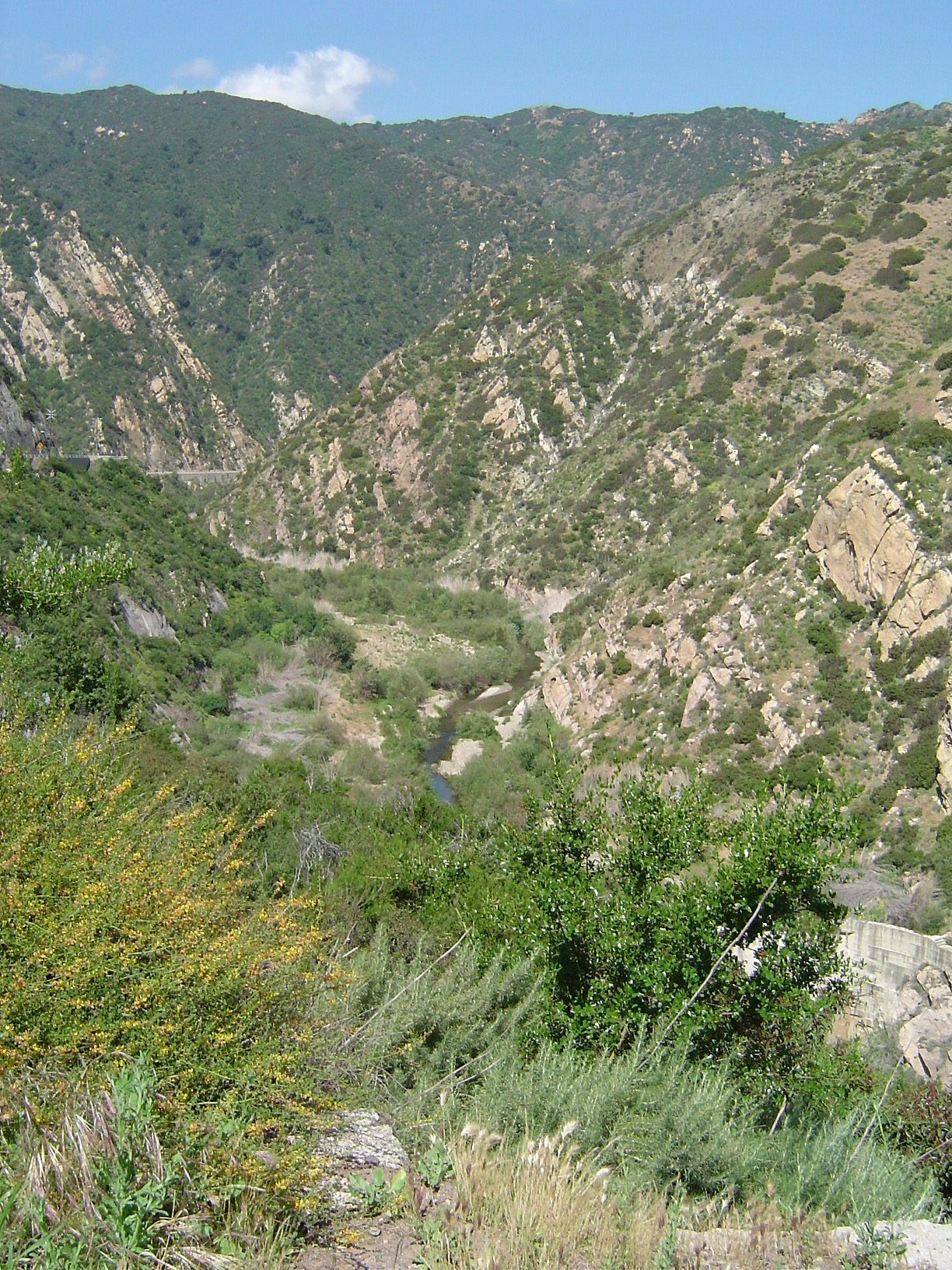
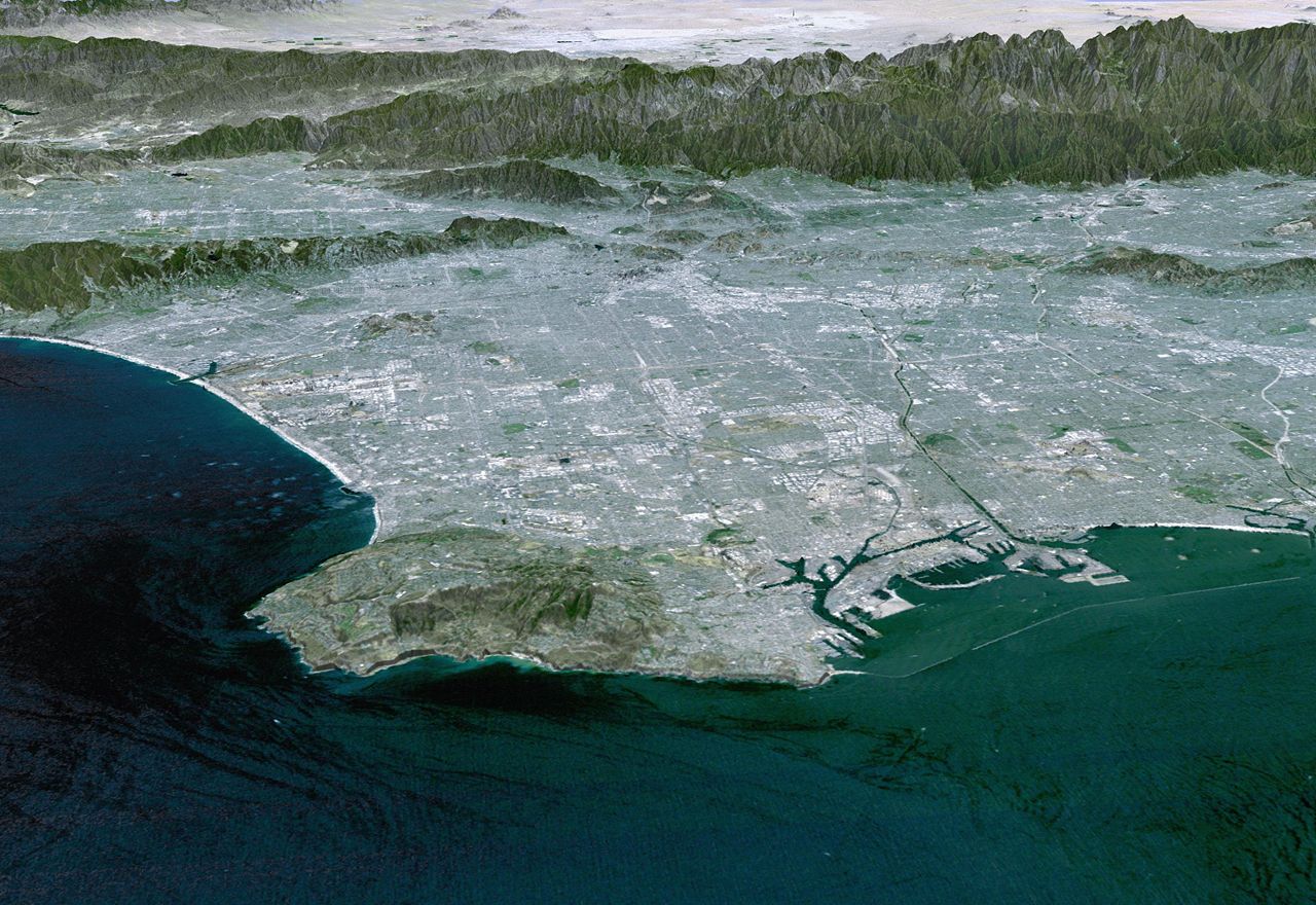
The Santa Monica Mountains are a coastal mountain range in southern California, located entirely within Los Angeles and Ventura counties. The range runs east-west for approximately 40 miles, spanning from the Oxnard Plain to the Puente Hills. With a maximum elevation of 3,111 feet at Mount Lukens, the Santa Monicas feature a diverse landscape of chaparral-covered slopes, oak woodlands, and grassy meadows. The range is bisected by several major canyons, including Malibu, Topanga, and Palo Seco Canyons, which provide access to a network of hiking trails and recreation areas.
Photos


Notable Peaks
Mount Lukens
3,111 ft
Sandstone Peak
3,111 ft
Boney Mountain
2,825 ft
Temescal Peak
2,656 ft
Newton Mesa
2,450 ft
Activities
Best Seasons
spring
summer
fall
Plan Your Trip
Let Roamze help you plan the perfect adventure to Santa Monica Mountains.
Start PlanningGateway Towns
Data Source
Geographic data from USGS Geographic Names Information System (GNIS). Descriptions generated with AI assistance.
