Gobbler Point
At a glance
Gobbler Point is a summit of 8,779 feet in the Bear Wallow Wilderness, within the Alpine Ranger District of the Apache-Sitgreaves National Forests in eastern Arizona. The nearest town is Alpine, about 23 miles away. Summer is the most comfortable time to go. Typical July averages from the nearby Sunrise Mtn weather station, at a similar elevation, run around 71°F for highs and 44°F for lows. Winter there is cold, with January highs averaging about 42°F and lows near 11°F. The closest trails are Reno, about 2.6 miles away, and Schell Canyon and Bear Wallow, each a little over 4 miles off. For an overnight stay, Hannagan Campground sits about 7.7 miles from the summit.
- summit
- 8,779 ft
- way up
- 1
- best months
- Jun–Sep
Where it is: Bear Wallow Wilderness · Alpine Ranger District
Near: Alpine · 23.3 mi
Best time to visit Gobbler Point
Best months: June–September. Best months have typical highs of 55–85 °F, lows of 30 °F or warmer (32 °F where the station doesn't record snow), at most one snowy day and no more than 12 wet days.
Jan
42°
11°
Feb
42°
15°
Mar
46°
21°
Apr
53°
25°
May
62°
31°
Jun
71°
37°
Jul
71°
44°
Aug
70°
43°
Sep
67°
37°
Oct
60°
27°
Nov
51°
21°
Dec
42°
14°
Typical high / low (°F) and days with rain or snow, 1991–2020. Measured at Sunrise Mtn, AZ, 23.9 mi away at 9,370 ft. The station sits about 600 ft higher than this place, so expect it a little warmer here. This station doesn't record snowfall. Source: NOAA NCEI U.S. Climate Normals 1991–2020.
Been here? Tell people how it was.
Map © Mapbox © OpenStreetMap contributors 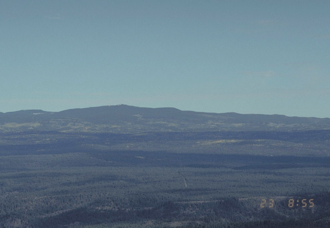 Mount BaldySummitPhoto: U.S. Forest Service, Public domain (via Wikimedia Commons)~34 min drive
 Escudilla MountainSummitPhoto: Chris M Morris, CC BY 2.0 (via Wikimedia Commons)~50 min drive
- Robinson MesaSummit~18 min drive
- Blue PeakSummit~19 min drive
- Steeple MesaSummit~24 min drive
- Rose PeakSummit~25 min drive
- KP MesaSummit~25 min drive
- Big Lake KnollSummit~27 min drive
- Red HillsSummit~31 min drive
- Bear MountainSummit~34 min drive
Conditions and forecast
Caution todayAgency alerts are in effect for this areaUSFS · checked 14 min agoDaily highs and lows, wind and the chance of precipitation at the summit and gobbler point trailhead for the next 7 days, from the Open-Meteo model.
Questions about Gobbler Point
How tall is Gobbler Point?
8,779 ft (2,676 m).
How many routes go to the summit of Gobbler Point?
One: Gobbler Point.
Where do the routes up Gobbler Point start?
Gobbler Point starts at Gobbler Point Trailhead (about 8,756 ft).
When is the best time to climb Gobbler Point?
Year-round.
Ask about this place
Questions about Gobbler Point: conditions, access, timing. Answers say when something isn't known.
