Escudilla Mountain
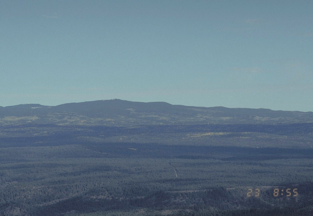
 Photo: Chris M Morris, CC BY 2.0 (via Wikimedia Commons)
At a glance
Escudilla Mountain is a summit of about 10,920 feet in Apache County, Arizona, within the Escudilla Wilderness. The peak sits in the Alpine Ranger District of the Apache-Sitgreaves National Forests, which the Forest Service manages. The nearest town is Nutrioso, about 4.7 miles away. Summer is the most comfortable time to visit. Typical averages from a nearby weather station at a lower elevation show July highs around 71°F and lows near 44°F, with winter highs hovering around 42°F. Nearby, Government Trail #119 and Terry Flat are both within about 2.4 miles. Hulsey Lake Fishing Site is about 2.6 miles away, and Alpine Divide Campground is about 4.5 miles away.
- summit
- 10,920 ft
- managed by
- Forest Service
- best months
- Jun–Sep
Where it is: Escudilla Wilderness · Alpine Ranger District
Near: Eagar
Best time to visit Escudilla Mountain
Best months: June–September. Best months have typical highs of 55–85 °F, lows of 30 °F or warmer (32 °F where the station doesn't record snow), at most one snowy day and no more than 12 wet days.
Jan
42°
11°
Feb
42°
15°
Mar
46°
21°
Apr
53°
25°
May
62°
31°
Jun
71°
37°
Jul
71°
44°
Aug
70°
43°
Sep
67°
37°
Oct
60°
27°
Nov
51°
21°
Dec
42°
14°
Typical high / low (°F) and days with rain or snow, 1991–2020. Measured at Sunrise Mtn, AZ, 25.2 mi away at 9,370 ft. The station sits about 1,600 ft lower than this place, so expect it a little cooler here. This station doesn't record snowfall. Source: NOAA NCEI U.S. Climate Normals 1991–2020.
Been here? Tell people how it was.
We don't know of a mapped trail or route to the summit of Escudilla Mountain. Plan the approach with local maps, a guidebook or a local guide, and check conditions before you go.
- Government Trail #119Hiking2.1 mi
 Terry FlatHikingPhoto: Chris M Morris, CC BY 2.0 (via Wikimedia Commons)2.4 mi
- Hulsey Lake Fishing SiteLake fishing2.6 mi
- Alpine Divide CgCamping4.5 mi
- Georges LakeHiking7.7 mi
- SidewinderMountain biking8.2 mi
- Luna LakePier fishing8.6 mi
- Luna Lake Day Use AreaPier fishing9 mi
 Mount BaldySummitPhoto: U.S. Forest Service, Public domain (via Wikimedia Commons)~44 min drive
- Big Lake KnollSummit~28 min drive
- Red HillsSummit~32 min drive
- Steeple MesaSummit~45 min drive
- KP MesaSummit~47 min drive
- Blue PeakSummit~49 min drive
- Bear MountainSummit~50 min drive
- Gobbler PointSummit~50 min drive
- W S MountainSummit~51 min drive
- Government MesaSummit~55 min drive
Conditions and forecast
Daily highs and lows, wind and the chance of precipitation at the summit for the next 7 days, from the Open-Meteo model.
Questions about Escudilla Mountain
How tall is Escudilla Mountain?
10,920 ft (3,328 m).
Is there a trail to the top of Escudilla Mountain?
We don't know of a mapped trail or route to the summit. Plan the approach with local maps, a guidebook or a local guide.
Ask about this place
Questions about Escudilla Mountain: conditions, access, timing. Answers say when something isn't known.
