El Capitán State Beach
At a glance
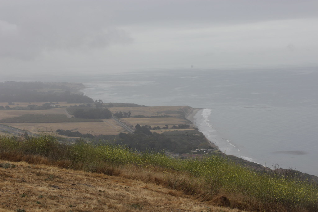
El Capitán State Beach is a California state beach on the coast, about 10 miles from the town of Goleta. It is a straightforward stop for a day at the shore, with the Bill Wallace Trail starting less than a mile away for those who want to pair a beach visit with a short walk. Spring and fall are the most comfortable times to go. Typical averages from the nearby Cachuma Lake weather station show May highs around 80°F and October highs around 84°F, while July and August average in the low 90s. The beach makes an easy base for exploring the surrounding area. The Bill Wallace Trail is the closest neighbor, and the Baron Ranch Trail and Tequepis Trail are both within about 6 miles. Paddlers can head to the Santa Ynez River, roughly 9 miles away.
- best months
- Oct–May
Near: Goleta · 9.6 mi
Best time to visit El Capitán State Beach
Best months: October–May. Best months have typical highs of 55–85 °F, lows of 30 °F or warmer (32 °F where the station doesn't record snow), at most one snowy day and no more than 12 wet days.
Jan
67°
34°
8 wet
Feb
68°
35°
8 wet
Mar
71°
38°
7 wet
Apr
76°
39°
4 wet
May
80°
43°
2 wet
Jun
86°
45°
1 wet
Jul
92°
48°
0 wet
Aug
93°
49°
0 wet
Sep
91°
47°
1 wet
Oct
84°
43°
2 wet
Nov
75°
38°
4 wet
Dec
67°
33°
7 wet
Typical high / low (°F) and days with rain or snow, 1991–2020. Measured at Cachuma Lake, CA, 8.8 mi away at 789 ft. We don't have this place's elevation, so higher spots nearby can run cooler. Source: NOAA NCEI U.S. Climate Normals 1991–2020.
Been here? Tell people how it was.
 Bill Wallace TrailHikingPhoto: Björn S..., CC BY-SA 2.0 (via Flickr)0.9 mi
 Baron Ranch TrailHikingPhoto: Charles Nadeau from San Mateo, CA, CC BY 2.0 (via Wikimedia Commons)5.8 mi
 Tequepis TrailHikingPhoto: Guttorm Flatabø, CC BY 2.0 (via Flickr)6.3 mi
- TequepisHiking7.5 mi
 Santa Ynez RiverCanoeingPhoto: Gordon F. Smith, CC BY-SA 3.0 (via Wikimedia Commons)8.8 mi
 The Lizard's MouthRock climbingPhoto: DieselDemon, CC BY 2.0 (via Flickr)9.3 mi
 The MouthRock climbingPhoto: DieselDemon, CC BY 2.0 (via Flickr)9.5 mi
 Kelly's HillRock climbingPhoto: NewMillenniumMusic, CC BY-SA 3.0 (via Wikimedia Commons)9.5 mi
- Bike Path (Refugio to El Capitan State Beaches)Beach~3 min drive
- Haskell's BeachBeach~11 min drive
- Coal Oil Point Natural ReserveBeach~16 min drive
- Stairway to Beach (Camino Majorca)Beach~16 min drive
- Sea Lookout ParkBeach~17 min drive
- Stairway to Beach (Camino del Sur)Beach~17 min drive
- Stairway to Beach (Camino Pescadero)Beach~17 min drive
- Stairway to Beach (El Embarcadero)Beach~18 min drive
- University of California at Santa Barbara (West)Beach~18 min drive
- University of California at Santa Barbara (East)Beach~19 min drive
Also worth it near here
- Bill Wallace TrailHikingPhoto: Björn S..., CC BY-SA 2.0 (via Flickr)~2 min drive
- Santa Ynez RiverCanoeingPhoto: Gordon F. Smith, CC BY-SA 3.0 (via Wikimedia Commons)~15 min drive
 Cachuma Lake Recreation AreaCampingPhoto: bdearth — CC BY 2.0 (via Flickr)~15 min drive
- Elusive ArchNatural arch~15 min drive
Conditions and forecast
Daily highs and lows, wind and the chance of precipitation at El Capitán State Beach for the next 7 days, from the Open-Meteo model.
Ask about this place
Questions about El Capitán State Beach: conditions, access, timing. Answers say when something isn't known.
