Charleston Peak
 Photo: Stan Shebs, CC BY-SA 3.0 (via Wikimedia Commons)
At a glance
Charleston Peak is a summit of about 11,918 feet in Clark County, Nevada, inside the Mt. Charleston Wilderness. The peak lies within the Spring Mountains National Recreation Area, part of the Humboldt-Toiyabe National Forest, and the nearest town is Mount Charleston, about 4.6 miles away. The Forest Service manages the land. The Charleston Peak Trail South Loop starts just 0.1 mile from the summit. Climbers can find Walla Walla Wash and Yellow Pine about 1.3 miles away, and the McWilliams campground sits about 2.7 miles off.
- summit
- 11,918 ft
- ways up
- 3
- managed by
- Forest Service
Where it is: Mt. Charleston Wilderness · Spring Mountains National Recreation Area
Near: Las Vegas
Been here? Tell people how it was.
- Charleston Peak Trail South LoopExpertabout 9,628 ft of climbing16.8 mi round trip
- Charleston Peak Trail South LoopHardFrom CATHEDRAL ROCK TRAILHEAD (about 7,667 ft) · about 4,248 ft of climbing16.8 mi round trip
- North LoopHardFrom NORTH LOOP TRAILHEAD (about 8,694 ft) · about 2,725 ft of climbing9.6 mi
Compare the routes Charleston Peak Trail South Loop Charleston Peak Trail South Loop North Loop Starts at — CATHEDRAL ROCK TRAILHEAD NORTH LOOP TRAILHEAD Climbing About 9,628 ft About 4,248 ft About 2,725 ft Round trip 16.8 mi 16.8 mi 9.6 mi Difficulty Expert Hard Hard Terrain Hike Hike Hike Season — — May 1 – November 30 Map © Mapbox © OpenStreetMap contributors  Turtlehead Mountain6,322 ft · Nevada1 route15 mi awayPhoto: Stan Shebs, CC BY-SA 3.0 (via Wikimedia Commons)
- Corn Creek Dunes2,959 ft · Nevada1 route22 mi away
 Gass Peak6,938 ft · Nevada1 route30 mi awayPhoto: VegasScorpion, CC BY-SA 3.0 (via Wikimedia Commons)
- Hayford Peak9,913 ft · Nevada1 route38 mi away
- Black Mountain5,092 ft · Nevada3 routes43 mi away
 Fortification Hill3,714 ft · Arizona1 route59 mi awayPhoto: unknown NPS photographer, Public domain (via Wikimedia Commons)
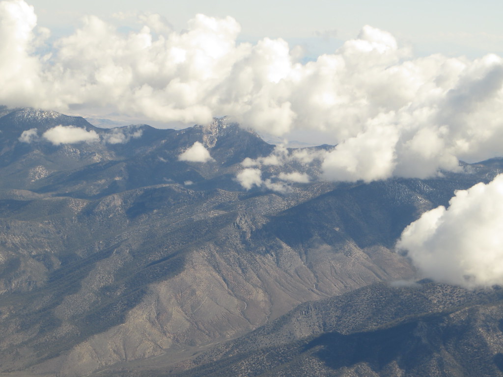 Charleston Peak Trail South LoopHikingPhoto: Ken Lund, CC BY-SA 2.0 (via Flickr)0.1 mi
- Walla Walla WashRock climbing1.3 mi
- Yellow PineRock climbing1.3 mi
- White PineRock climbing1.4 mi
 Mary Jane FallsMountain bikingPhoto: Famartin, CC BY-SA 4.0 (via Wikimedia Commons)1.5 mi
 Trail CanyonMountain bikingPhoto: Famartin, CC BY-SA 4.0 (via Wikimedia Commons)2.1 mi
- McWilliamsCamping2.7 mi
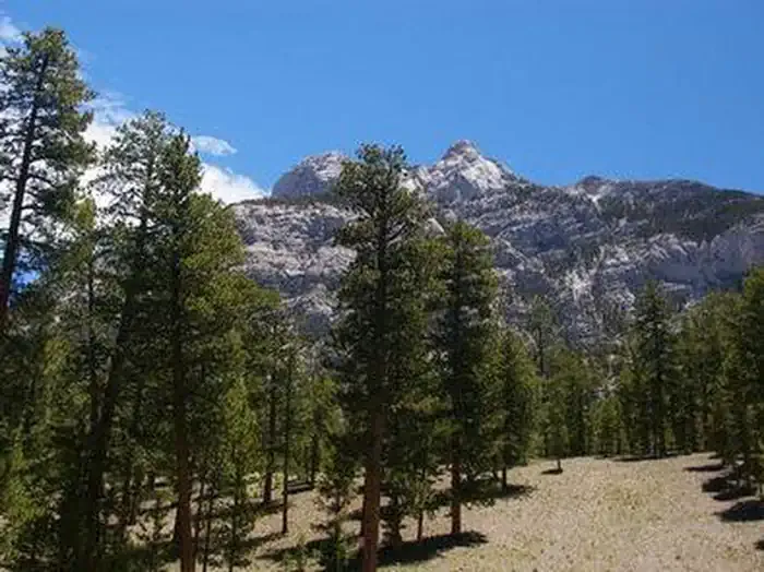 Foxtail Grp Picnic AreaCampingPhoto: Recreation.gov (RIDB) / public domain2.9 mi
 White Rock HillsSummitPhoto: BLM Nevada, CC BY 2.0 (via Wikimedia Commons)~23 min drive
 Bridge MountainSummitPhoto: Sascha Noyes, CC BY-SA 3.0 (via Wikimedia Commons)~25 min drive
- Turtlehead MountainSummitPhoto: Stan Shebs, CC BY-SA 3.0 (via Wikimedia Commons)~26 min drive
 Rainbow MountainSummitPhoto: Stan Shebs, CC BY-SA 3.0 (via Wikimedia Commons)~28 min drive
 Potosi MountainSummitPhoto: Stan Shebs, CC BY-SA 3.0 (via Wikimedia Commons)~41 min drive
 Nopah PeakSummitPhoto: Stan Shebs, CC BY-SA 3.0 (via Wikimedia Commons)~48 min drive
- Gass PeakSummitPhoto: VegasScorpion, CC BY-SA 3.0 (via Wikimedia Commons)~52 min drive
 Frenchman MountainSummitPhoto: Stan Shebs, CC BY-SA 3.0 (via Wikimedia Commons)~1h 8m drive
 Sunrise MountainSummitPhoto: Stan Shebs, CC BY-SA 3.0 (via Wikimedia Commons)~1h 9m drive
 Mount WilsonSummitPhoto: Stan Shebs, CC BY-SA 3.0 (via Wikimedia Commons)~29 min drive
Also worth it near here
Conditions and forecast
Caution at last checkAgency alerts are in effect for this areaUSFS · checked 18 h agoDaily highs and lows, wind and the chance of precipitation at the summit and route start for the next 7 days, from the Open-Meteo model.
Questions about Charleston Peak
How tall is Charleston Peak?
11,918 ft (3,633 m).
How many routes go to the summit of Charleston Peak?
3: Charleston Peak Trail South Loop, Charleston Peak Trail South Loop and North Loop.
What is the shortest route up Charleston Peak?
North Loop, about 9.6 mi.
Where do the routes up Charleston Peak start?
Charleston Peak Trail South Loop starts at CATHEDRAL ROCK TRAILHEAD (about 7,667 ft). North Loop starts at NORTH LOOP TRAILHEAD (about 8,694 ft).
When is the best time to climb Charleston Peak?
May 1 – November 30.

Ask about this place
Questions about Charleston Peak: conditions, access, timing. Answers say when something isn't known.
