Big Willi Mountaineering Company
Hiking business nearby (~30 mi away) — hasn't claimed their Roamze page yet
California
Free — you'll pick up right here.
2.0 mi
Distance
876 ft
Gain
1h 4m
Time
We won't guess. Here is exactly what we do and don't know.
What we do know
Inside Inyo National Forest
3 managing-area boundaries mapped — agency alerts for them feed this page automatically.
Boundary data
What's missing
No access route mapped
We don't yet know which road reaches this trailhead, so we can't tell you if it's gated.
Nobody's filed a report here yet — be the first.
Why you'll love it
Casa Vieja Trail
Suggested plan · check conditions before you go
Casa Vieja Trail is a 4.1-mile out-and-back route in California with 876 feet of elevation gain and loss. The trail reaches a maximum elevation of 9,010 feet.
Most of the climbing comes early, so the second half is easier.
Source: Roamze elevation profile and trail geometry (DEM samples along the mapped route)
Source: Wilderness.net boundaries; USFS EDW boundaries; USGS PAD-US 4.1
Active alerts for Inyo National Forest as of Oct 9, 2026:
Southern California Edison - Road work in Silver and Wyman Canyon
information · posted Sep 9, 2026
Food and Refuse Storage Restrictions
information · posted Aug 24, 2026
Eastern Sierra Climate and Communities Resilience Project Area Closure
information · posted Aug 24, 2026
Ansel Adams and John Muir Wilderness Campfire Restrictions
fire-restriction · posted Aug 24, 2026
Golden Trout and Hoover Wilderness Campfire Restrictions
fire-restriction · posted Aug 24, 2026
information · posted Aug 24, 2026
Mount Whitney Zone Access Restrictions
information · posted Aug 24, 2026
Stay Limits, Parking, and Developed Recreation Site Use
information · posted Aug 24, 2026
Help Halt Golden Mussel Invasion
caution · posted Aug 24, 2026
information · posted Aug 24, 2026
Source: USFS forest alerts
Source: Roamze catalog (indexable pages within 10 miles, PostGIS distance)
 Photo: Paul Mono, CC BY-SA 3.0 (via Wikimedia Commons)
Soda Creek
~5 min drive
5.02-mile out-and-back trail in California with 175 ft elevation gain.
 Photo: Moo.The.Cow, CC BY 2.0 (via Flickr)
Blackrock Mountain Trail
~6 min drive
16.7-mile out-and-back trail in California with 2,901 ft elevation gain and loss.
Osa Meadow
~0 min drive
2.69-mile out-and-back trail in California with 819 ft elevation gain.
Snake Creek
~2 min drive
3.38-mile out-and-back trail in California with 274 ft gain.
River Springs Cutoff #2
~4 min drive
0.82-mile out-and-back trail in California with 92 ft of elevation gain.
Photo: Moo.The.Cow, CC BY 2.0 (via Flickr)Fish Creek
~7 min drive
6.20-mile out-and-back trail in California with 380 ft gain.
BLACKROCK MOUNTAIN
~4 min drive
16.9-mile out-and-back trail in California with 3,526 ft elevation gain and loss, reaching 9,261 ft.
CASA-BIG DRY MDW CUTOFF
~1 min drive
1.34-mile out-and-back trail in California with 367 ft elevation gain and loss.
Smith Meadow
~3 min drive
5.40-mile out-and-back trail in California with 72 ft of elevation gain.
Redrock Meadow Spur
~5 min drive
0.6-mile out-and-back trail in Redrock Meadow, California
Also worth it near here
 Photo: David Bakken, CC BY-SA 2.0 (via Wikimedia Commons)
River Springs Cutoff #1
~4 min drive
 Photo: David Bakken, CC BY-SA 2.0 (via Wikimedia Commons)
Jordan Hot Springs
~4 min drive
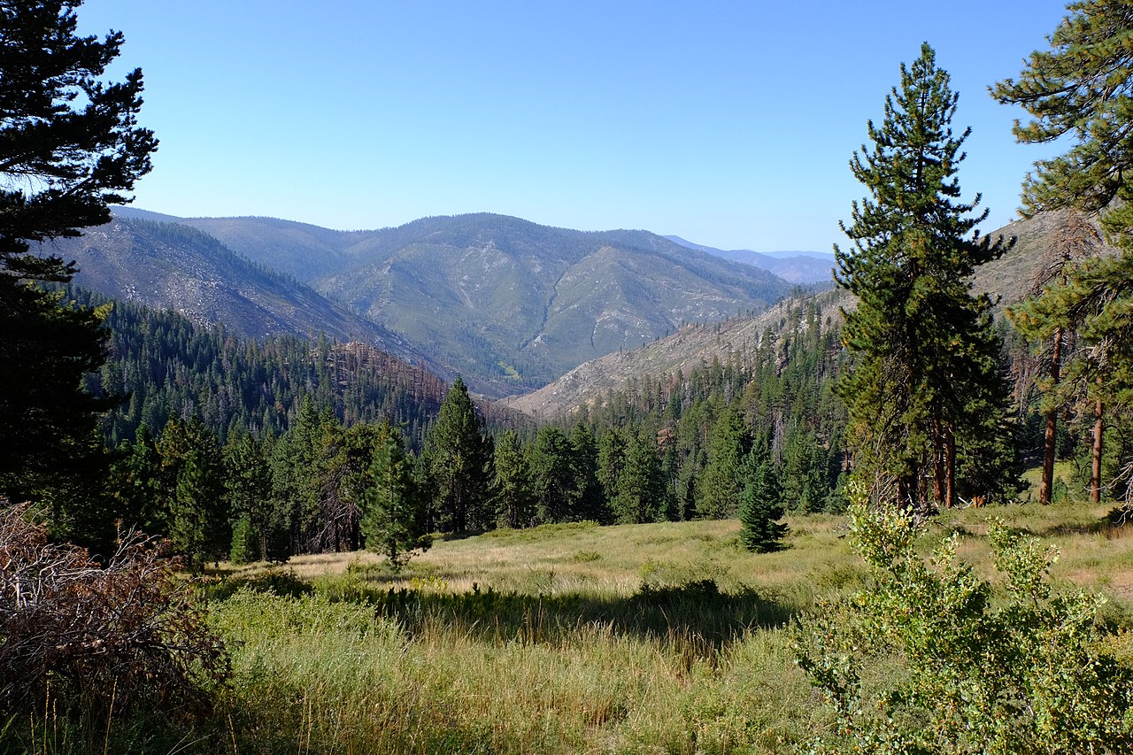 Photo: David Bakken, CC BY-SA 2.0 (via Wikimedia Commons)
Kern Peak
~13 min drive
Vault Toilet
~16 min drive
Fish Creek Rock
~16 min drive
Map and trail data © OpenStreetMap contributors
Local operatorsoffering guided trips. You book directly with them — Roamze doesn’t take a cut.
Big Willi Mountaineering Company
Hiking business nearby (~30 mi away) — hasn't claimed their Roamze page yet
