
Blair Valley Primitive Campground
Campground
2.1 mi from the trail
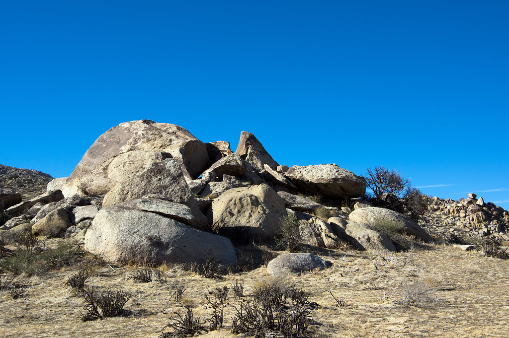
Blair Valley is a climbing area within Anza-Borrego Desert State Park in California, managed by State Park and Recreation. It sits among the park's network of trails and climbing spots, with several other destinations within a couple of miles. Spring and fall are the most comfortable times to visit. Typical averages from a nearby weather station in Julian show May highs around 69°F and October highs around 71°F, while July and August average about 86°F. That station sits roughly 1,400 feet lower than the valley, so temperatures here run cooler. The Yaquitepec/Marshal South Home Trail is about a mile away, and the Pictograph/Smuggler's Canyon Trail is about 1.4 miles off. Blair Valley Campground Area and the Octagon North Face are both within about 1.7 miles.
9 routes · V0-1 – V6 · Bouldering
Where it is: Anza-Borrego Desert State Park
Near: Julian
Best months: March–June and September–November. Best months have typical highs of 55–85 °F, lows of 30 °F or warmer (32 °F where the station doesn't record snow), at most one snowy day and no more than 12 wet days.
Jan
53°
39°
6 wet
Feb
54°
39°
7 wet
Mar
57°
41°
7 wet
Apr
62°
43°
4 wet
May
69°
47°
3 wet
Jun
79°
55°
1 wet
Jul
86°
62°
1 wet
Aug
86°
62°
1 wet
Sep
81°
57°
2 wet
Oct
71°
50°
3 wet
Nov
60°
43°
4 wet
Dec
52°
38°
6 wet
Typical high / low (°F) and days with rain or snow, 1991–2020. Measured at Julian Cdf, CA, 12.9 mi away at 4,215 ft. The station sits about 1,400 ft higher than this place, so expect it a little warmer here. This station doesn't record snowfall. Source: NOAA NCEI U.S. Climate Normals 1991–2020.
Been here? Tell people how it was.
 Yaquitepec/Marshal South Home TrailHikingPhoto: BOB PERRY, CC BY 3.0 (via Wikimedia Commons)0.9 mi
 Pictograph/Smuggler's Canyon TrailHikingPhoto: theforestprimeval, CC BY-SA 2.0 (via Flickr)1.4 mi
 California Riding and Hiking TrailHikingPhoto: BOB PERRY, CC BY 3.0 (via Wikimedia Commons)1.8 mi
 Horse Heaven GroupCampingPhoto: Recreation.gov (RIDB) / public domain9.5 mi
 LagunaCampingPhoto: Recreation.gov (RIDB) / public domain9.6 mi
 Stonewall PeakRock climbingPhoto: Waifer X, CC BY 2.0 (via Flickr)~20 min driveUpper TierRock climbingPhoto: Waifer X, CC BY 2.0 (via Flickr)~20 min driveLower TierRock climbingPhoto: Waifer X, CC BY 2.0 (via Flickr)~20 min drive
 Cottonwood AreaRock climbingPhoto: RuggyBearLA, CC BY-SA 2.0 (via Flickr)~24 min driveGranitica HillRock climbingPhoto: RuggyBearLA, CC BY-SA 2.0 (via Flickr)~24 min driveVector BoulderRock climbingPhoto: RuggyBearLA, CC BY-SA 2.0 (via Flickr)~24 min drive
 Windy Boulders SouthRock climbingPhoto: RuggyBearLA, CC BY-SA 2.0 (via Flickr)~24 min drive
 Wolf AreaRock climbingPhoto: RuggyBearLA, CC BY-SA 2.0 (via Flickr)~24 min driveCulp ValleyRock climbingPhoto: RuggyBearLA, CC BY-SA 2.0 (via Flickr)~24 min driveWindy BouldersRock climbingPhoto: RuggyBearLA, CC BY-SA 2.0 (via Flickr)~25 min drive
Daily highs and lows, wind and the chance of precipitation at Blair Valley for the next 7 days, from the Open-Meteo model.
Questions about Blair Valley: conditions, access, timing. Answers say when something isn't known.
Blair Valley Primitive Campground
Campground
Blue Jay Lodge
Restaurant
Inspiration Point
Viewpoint
Places © OpenStreetMap contributors
More in Julian