Lincoln Creek dispersed campsite #4
Campground
1.6 mi from the trail
Baby Face is a climbing area in Colorado's White River National Forest, within the Aspen Ranger District. The Forest Service manages the surrounding land. The area is small and close-knit. Lower Bulldog Cliff and Slab Rock both lie about 0.2 miles away, so a day here can easily include several climbing spots in one outing. The climbing at Baby Face is sport and trad, with seven routes on record. Sport routes make up the bulk, with five of them running from 5.6 to 5.8 and a sixth, Sugar Coated Flake, at 5.8. The two trad routes, The Passifyer at 5.9 and Tough Cookie at 5.10c, add a touch of higher grade. First Steps, Sweet Tooth and Baby Tooth are the sport options best suited for climbers looking for something on the lower end of the scale. Summer is the most comfortable time to climb. Typical averages from a nearby weather station at a similar elevation run from highs around 68°F in June to about 73°F in July, with September easing back to the low 60s. Winters there are cold, with January highs near 31°F.
7 routes · 5.6 – 5.10c · Sport · Trad
Where it is: Aspen Ranger District · White River National Forest
Near: Aspen
Blocked today
A road serving this area is closed; weather is adverse; agency alerts are in effect for this area · USFS, State DOT 511, OpenWeather · checked just now
Road closed
CO 82: road closure is listed as closed by CDOT 511.
CO 82: road closure
Closed · ~0.1 km from Baby Face · CDOT 511
FSR 286, Radical Hill, is closed due to washouts and unsafe conditions
Agency alert covering White River National Forest · USFS · White River National Forest
Limited parking at Snowmass Creek Trailhead
Agency alert covering White River National Forest · USFS · White River National Forest
Grizzly Creek Trail Closure
Agency alert covering White River National Forest · Order 2026-02 · USFS · White River National Forest
Ruedi Marina Day Use area Dump Station is CLOSED
Agency alert covering White River National Forest · USFS · White River National Forest
As of · Source: CDOT 511. Agencies don't list every closure — check before you go.
Best months: June–August. Best months have typical highs of 55–85 °F, lows of 30 °F or warmer (32 °F where the station doesn't record snow), at most one snowy day and no more than 12 wet days.
Jan
31°
3°
8 wet
Feb
33°
3°
8 wet
Mar
39°
9°
8 wet
Apr
44°
18°
8 wet
May
55°
27°
9 wet
Jun
68°
34°
9 wet
Jul
73°
39°
12 wet
Aug
70°
38°
12 wet
Sep
62°
31°
8 wet
Oct
51°
23°
6 wet
Nov
39°
14°
7 wet
Dec
31°
6°
7 wet
Typical high / low (°F) and days with rain or snow, 1991–2020. Measured at Sugarloaf Rsvr, CO, 17.8 mi away at 9,738 ft. The station sits about 600 ft lower than this place, so expect it a little cooler here. This station doesn't record snowfall. Source: NOAA NCEI U.S. Climate Normals 1991–2020.
Been here? Tell people how it was.
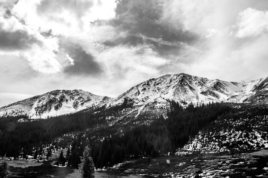 Lost Man LoopHikingPhoto: markbyzewski, CC BY 2.0 (via Flickr)2.1 mi
 Twining PeakHikingPhoto: markbyzewski, CC BY 2.0 (via Flickr)2.1 mi
 Campground RockRock climbingPhoto: markbyzewski, CC BY 2.0 (via Flickr)~3 min driveSunset CantinaRock climbingPhoto: markbyzewski, CC BY 2.0 (via Flickr)~3 min driveLincoln Creek CliffRock climbingPhoto: markbyzewski, CC BY 2.0 (via Flickr)~3 min drive
Daily highs and lows, wind and the chance of precipitation at Baby Face for the next 7 days, from the Open-Meteo model.
Questions about Baby Face: conditions, access, timing. Answers say when something isn't known.
Lincoln Creek dispersed campsite #4
Campground
 If it rainsLongled, CC BY-SA 3.0 · Wikimedia Commons
Historic frontier synagogue building
Places © OpenStreetMap contributors, Places © Overture Maps Foundation · Photos: Longled, CC BY-SA 3.0 (commons)
More in Leadville