Apache Trail Historic Road
At a glance
The Apache Trail Historic Road is a 43.2-mile scenic drive in Arizona on land managed by the Forest Service. It is designated both a National Forest Scenic Byway and an Arizona Scenic Historic Byway. The route starts from Apache Junction and passes through or near several small communities along the way, including Tortilla Flat, Youngberg, Palm Springs, Roosevelt and Government Hill. Summer here is intensely hot. Typical averages from a nearby weather station in Apache Junction put July highs around 105°F. Late fall through early spring is far more comfortable, with highs around 67°F in January and 77°F in March. Several destinations sit right along the road. The Arizona Trail and the Palo Verde fishing area are both within about a tenth of a mile. Tortilla Campground and Burnt Corral Campground offer places to stay close by, and the climbing at Suction Gully is about 1.5 miles away.
- distance
- 43.2 mi
- best months
- Nov–Apr
Near: Apache Junction
Best time to visit Apache Trail Historic Road
Best months: November–April. Best months have typical highs of 55–85 °F, lows of 30 °F or warmer (32 °F where the station doesn't record snow), at most one snowy day and no more than 12 wet days.
Jan
67°
43°
4 wet
Feb
70°
44°
4 wet
Mar
77°
48°
4 wet
Apr
85°
53°
2 wet
May
93°
60°
2 wet
Jun
103°
69°
1 wet
Jul
105°
77°
4 wet
Aug
104°
76°
6 wet
Sep
99°
71°
4 wet
Oct
88°
60°
3 wet
Nov
76°
50°
3 wet
Dec
66°
42°
4 wet
Typical high / low (°F) and days with rain or snow, 1991–2020. Measured at Apache Junction 5 Ne, AZ, 5.2 mi away at 2,070 ft. We don't have this place's elevation, so higher spots nearby can run cooler. Source: NOAA NCEI U.S. Climate Normals 1991–2020.
Been here? Tell people how it was.
 Arizona TrailHikingPhoto: This illustration was made by Peter Potrowl.
Please credit this with : © Peter Potrowl in the immediate vicinity of the image. A link to my website sitemai.eu would be much appreciated but isn't mandatory.
An email to
Peter Potrowl would be appreciated too.
Do not copy this image illegally by ignoring the terms of the license below, as it is not in the public domain.
If you would like special permission to use, license, or purchase the image please contact me Peter Potrowl to negotiate terms.
More free pictures in my website. Donations are accepted here and here., CC BY-SA 3.0 (via Wikimedia Commons)0.1 mi
- Palo VerdeLake fishing0.1 mi
- Tortilla CampgroundCamping0.2 mi
 Quail Loop TrailHikingPhoto: Dougtone, CC BY-SA 2.0 (via Wikimedia Commons)0.2 mi
- Mountain Bike TrailHiking0.3 mi
- Upper Burnt CorralCamping0.4 mi
- Jacobs CrosscutHikingPhoto: Dougtone, CC BY-SA 2.0 (via Wikimedia Commons)0.4 mi
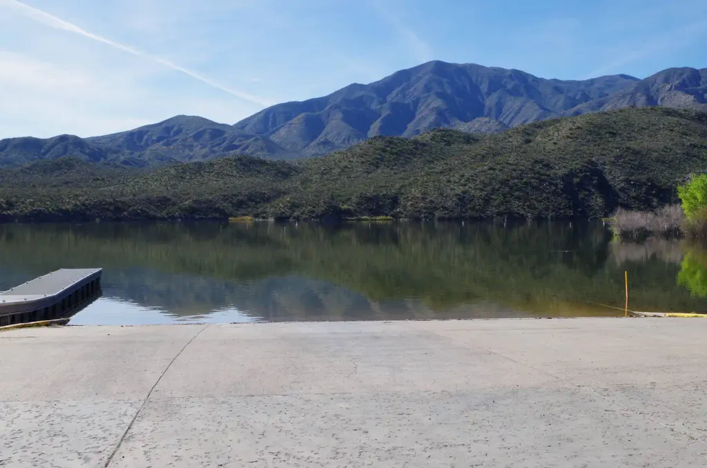 Burnt Corral CampgroundCampingPhoto: Recreation.gov (RIDB) / public domain0.4 mi
- Davis Wash Shoreline AreaCamping0.7 mi
 Suction GullyRock climbingPhoto: The3dStudioDotCom, CC BY-SA 3.0 (via Wikimedia Commons)1.5 mi
 Northwest PinnaclesRock climbingPhoto: Sean Foster, CC BY 3.0 (via Wikimedia Commons)1.5 mi
- Los Bandito TowersRock climbingPhoto: Sean Foster, CC BY 3.0 (via Wikimedia Commons)1.5 mi
Also worth it near here
Conditions and forecast
Daily highs and lows, wind and the chance of precipitation at Apache Trail Historic Road for the next 7 days, from the Open-Meteo model.


Ask about this place
Questions about Apache Trail Historic Road: conditions, access, timing. Answers say when something isn't known.
