Amicalola Falls
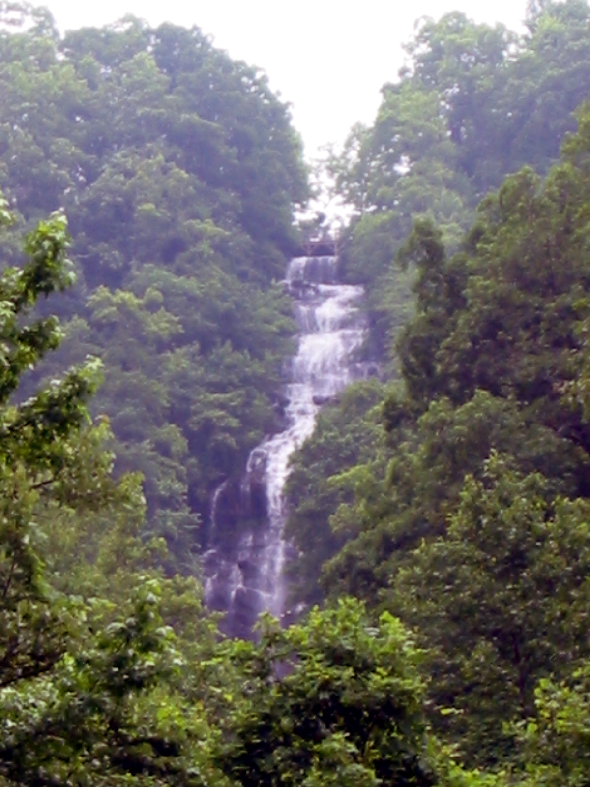 Photo: Jsfouche, CC BY-SA 3.0 (via Wikimedia Commons)
At a glance
Amicalola Falls is a waterfall in the Blue Ridge Ranger District of the Chattahoochee-Oconee National Forests in north Georgia, about 11 miles from Dawsonville. It sits at roughly 2,500 feet, and the surrounding forest district makes it a natural anchor for a day of hiking and exploring the trails that start close by. Spring and fall are the most comfortable times to visit. Typical averages from a nearby weather station in Jasper show October highs around 69°F with lows near 50°F, and May highs around 75°F. That station sits well below the falls, so temperatures at the falls run cooler. Several trails begin within a short walk of the falls. Hike Inn Lodge and Creek Trail are each about 0.4 miles away, and Spring Trail is about 0.6 miles off. Cochran Falls, a climbing area, is about 1.8 miles away.
- elevation
- 2,488 ft
- best months
- Mar–Nov
Where it is: Blue Ridge Ranger District · Chattahoochee-Oconee National Forests
Near: Dawsonville · 11.1 mi
Best time to visit Amicalola Falls
Best months: March–November. Best months have typical highs of 55–85 °F, lows of 30 °F or warmer (32 °F where the station doesn't record snow), at most one snowy day and no more than 12 wet days.
Jan
48°
31°
10 wet · 1 snow
Feb
52°
34°
9 wet
Mar
60°
40°
10 wet
Apr
68°
47°
9 wet
May
75°
55°
9 wet
Jun
82°
63°
10 wet
Jul
85°
67°
11 wet
Aug
84°
66°
9 wet
Sep
79°
61°
8 wet
Oct
69°
50°
8 wet
Nov
59°
40°
8 wet
Dec
51°
35°
10 wet
Typical high / low (°F) and days with rain or snow, 1991–2020. Measured at Jasper 1 Nnw, GA, 13.3 mi away at 1,465 ft. The station sits about 1,000 ft lower than this place, so expect it a little cooler here. Source: NOAA NCEI U.S. Climate Normals 1991–2020.
Closures we've recorded since August 2026
Spring 2026 Forest-wide Fire Restrictions
Chattahoochee-Oconee National Forests · Order dated April 23, 2026; seen Aug 23, 2026 → lifted Oct 13, 2026 · Forest Service
Been here? Tell people how it was.
 Hike Inn LodgeHikingPhoto: Bas van Oorschot, CC BY-SA 3.0 (via Wikimedia Commons)0.4 mi
 Creek TrailHikingPhoto: Bas van Oorschot, CC BY-SA 3.0 (via Wikimedia Commons)0.4 mi
- Spring TrailHikingPhoto: Bas van Oorschot, CC BY-SA 3.0 (via Wikimedia Commons)0.6 mi
- Mountain Laural Loop TrailHikingPhoto: Bas van Oorschot, CC BY-SA 3.0 (via Wikimedia Commons)0.6 mi
- Cochran FallsRock climbing1.8 mi
- Amicalola CreekCanoeing3.9 mi
- Tickanetley CreekCanoeing6.1 mi
 Etowah RiverCanoeingPhoto: Thomson200, CC0 (via Wikimedia Commons)9 mi
 DeSoto FallsWaterfallPhoto: Thomsonmg2000, CC0 (via Wikimedia Commons)~36 min drive
 Helton Creek FallsWaterfallPhoto: Jsfouche, CC BY-SA 3.0 (via Wikimedia Commons)~40 min drive
 Horsetrough FallsWaterfallPhoto: Public domain (via Wikimedia Commons)~52 min drive
 Anna Ruby FallsWaterfallPhoto: Jsfouche, CC BY-SA 3.0 (via Wikimedia Commons)~57 min drive
- Cochrans FallsWaterfall~3 min drive
- High FallsWaterfall~20 min drive
- Clay Creek FallsWaterfall~21 min drive
- Padgett FallsWaterfall~26 min drive
- Sea Creek FallsWaterfall~28 min drive
- High Water FallsWaterfall~36 min drive
Also worth it near here
- Hike Inn LodgeHikingPhoto: Bas van Oorschot, CC BY-SA 3.0 (via Wikimedia Commons)Next door
 Under the HemlockCampingPhoto: anonymouse1, CC BY-SA 3.0 (via Wikimedia Commons)~3 min drive
- Cochran FallsRock climbing~3 min drive
 Springer MountainSummitPhoto: Mark Larson, CC BY-SA 2.0 (via Wikimedia Commons)~9 min drive
Conditions and forecast
Daily highs and lows, wind and the chance of precipitation at Amicalola Falls for the next 7 days, from the Open-Meteo model.
Ask about this place
Questions about Amicalola Falls: conditions, access, timing. Answers say when something isn't known.
