Danger Trail
At a glance
Danger Trail is a 3-mile moderate hike in the Mountain City-Ruby Mountains-Jarbidge Ranger District of Humboldt-Toiyabe National Forest in northeastern Nevada, managed by the Forest Service. The trail is an out-and-back that starts at about 8,350 feet and climbs to roughly 8,490 feet, with a total round-trip elevation gain of about 2,400 feet. The steepest section comes around mile 1.9, where the grade reaches about 22%. The hike is steady, with no single steep stretch dominating the way. That makes it a good choice for anyone ready to move at a moderate pace over a few miles of elevation change. Coon Creek is about a mile away and Copper Mountain about 1.7 miles. Pine Creek Campground, at about 3.5 miles, is the closest place to camp, and the Jarbidge River, about 5 miles off, offers river fishing.
- round trip
- 3.0 mi
- climb
- 2,394 ft
- high point
- 8,489 ft
- route
- Out and back
- time
- About 1.5 hours
Where it is: Mountain City-Ruby Mountains-Jarbidge Ranger District · Humboldt-Toiyabe National Forest
Near: Jackpot
Been here? Tell people how it was.
- Coon CreekHiking0.9 mi
- Copper MountainHiking1.7 mi
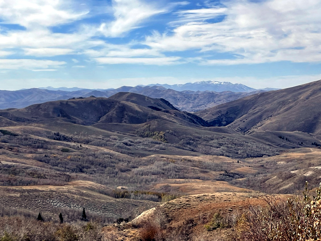 Pine CreekHikingPhoto: simonov, CC BY-SA 2.0 (via Flickr)1.8 mi
- Pine Creek CampgroundCamping3.5 mi
- Lower Bluster CampgroundCamping3.7 mi
- Upper Bluster CampgroundCamping3.8 mi
- Jarbidge RiverRiver fishing4.9 mi
 Bruneau RiverCanoeingPhoto: BLM, Public domain (via Wikimedia Commons)7.5 mi
- Pine CreekHikingPhoto: simonov, CC BY-SA 2.0 (via Flickr)~3 min drive
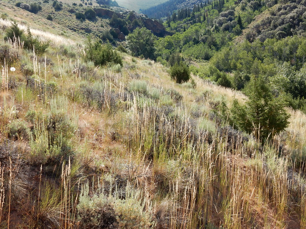 Jenny CreekHikingPhoto: Matt Lavin, CC BY-SA 2.0 (via Flickr)~10 min drive
 Jenny CreekHikingPhoto: Matt Lavin, CC BY-SA 2.0 (via Flickr)~11 min drive
- 76 CreekHiking~9 min drive
 West Marys River to Camp DrawHikingPhoto: simonov, CC BY-SA 2.0 (via Flickr)~7 min drive
 Altitude TrailHikingPhoto: Matt Lavin, CC BY-SA 2.0 (via Flickr)~14 min drive
- West Marys River - Camp Draw TrailHiking~10 min drive
- Marys RiverHiking~10 min drive
- JennyHikingPhoto: Matt Lavin, CC BY-SA 2.0 (via Flickr)~12 min drive
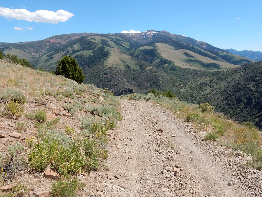 Clover TrailHikingPhoto: Matt Lavin, CC BY-SA 2.0 (via Flickr)~14 min drive
Conditions and forecast
Caution todayAgency alerts are in effect for this areaUSFS · checked 4 min agoDaily highs and lows, wind and the chance of precipitation at Start for the next 7 days, from the Open-Meteo model.

Ask about this place
Questions about Danger Trail: conditions, access, timing. Answers say when something isn't known.
Map and trail data © OpenStreetMap contributors
