Missouri Buttes
 Photo: John Grabill, Public domain (via Wikimedia Commons)
- 5,371 ft
- summit
- May–Oct
- best months
Missouri Buttes is a summit in Crook County, Wyoming, rising to about 5,371 feet. The nearest town is Hulett, about 10 miles away. Summer is the most comfortable time to visit. Typical averages from a nearby weather station show July and August highs around 85°F with lows in the mid-50s, while winter brings highs in the mid-30s and regular snow days from December through February. Several other destinations sit within a few miles. Joyner Ridge is about 3 miles away, and Tower Trail and Red Beds Trail are each about 3.6 miles off. Devils Tower, a climbing area, is about 3.6 miles away.
Conditions and forecast
Daily highs and lows, wind and the chance of precipitation at the summit for the next 7 days, from the Open-Meteo model.
- Summit elevation
- 5,371 ft
Elevation from USGS 3D Elevation Program terrain data (about 10 m resolution).
We don't know of a mapped trail or route to the summit of Missouri Buttes. Plan the approach with local maps, a guidebook or a local guide, and check conditions before you go.
Questions about Missouri Buttes
How tall is Missouri Buttes?
5,371 ft (1,637 m).
Is there a trail to the top of Missouri Buttes?
We don't know of a mapped trail or route to the summit. Plan the approach with local maps, a guidebook or a local guide.
- Sheep Mountain5,827 ft · Wyoming1 route21 mi away
- Crow Peak5,778 ft · South Dakota1 route42 mi away
 Mount Theodore Roosevelt5,682 ft · South Dakota1 route53 mi awayPhoto: U.S. Department of Agriculture, CC BY 2.0 (via Wikimedia Commons)
 Black Elk Peak7,229 ft · South Dakota1 route81 mi awayPhoto: BHrock at English Wikipedia, Public domain (via Wikimedia Commons)
- Boulder Hill5,329 ft · South Dakota1 route82 mi away
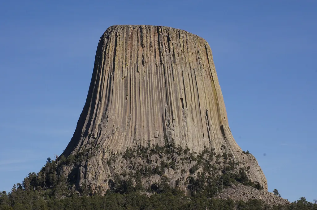 Joyner RidgeHikingPhoto: jtstewart — Wikimedia Commons (CC BY-SA 2.0)3.2 mi
- Tower TrailHiking3.6 mi
- Red Beds TrailHiking3.6 mi
 Devils TowerRock climbingPhoto: w_lemay, CC BY-SA 2.0 (via Flickr)3.6 mi
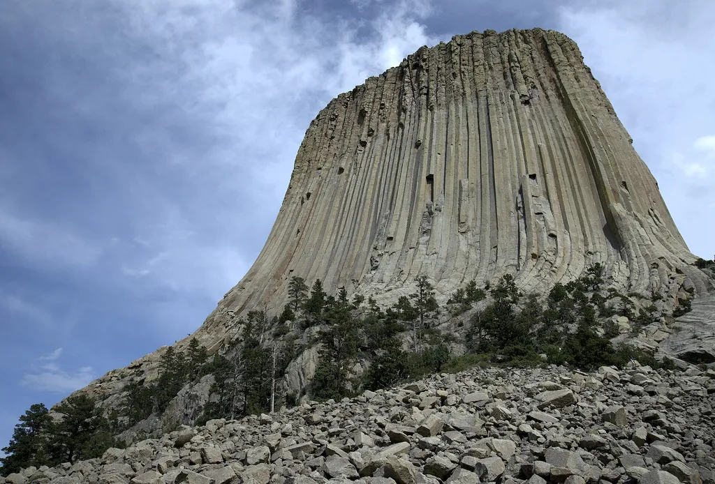 Devils Tower Boulder FieldHikingPhoto: Jim Bowen — Wikimedia Commons (CC BY 3.0)3.7 mi
 West FaceRock climbingPhoto: w_lemay, CC BY-SA 2.0 (via Flickr)3.7 mi
- North Face & Northwest CornerRock climbingPhoto: w_lemay, CC BY-SA 2.0 (via Flickr)3.8 mi
 Southwest ShoulderRock climbingPhoto: w_lemay, CC BY-SA 2.0 (via Flickr)3.8 mi
Source: Roamze catalog (indexable pages within 10 miles, PostGIS distance)
 Devils TowerSummit · ~6 min drivePhoto: Ealdgyth, CC BY 3.0 (via Wikimedia Commons)
 Sundance MountainSummit · ~44 min drivePhoto: James St. John, CC BY 2.0 (via Wikimedia Commons)
 Rawhide ButteSummit · ~1h 10m drivePhoto: Mr. Satterly, CC0 (via Wikimedia Commons)
 Inyan Kara MountainSummit · ~1h drivePhoto: User:Runner1928, CC0 (via Wikimedia Commons)
- Sheep MountainSummit · ~37 min drive
- Crow PeakSummit · ~1h 11m drive
- Old Baldy MountainSummit · ~1h 12m drive
- Antelope ButteSummit · ~1h 16m drive
Best time to visit Missouri Buttes
Best months: May–October. Best months have typical highs of 55–85 °F, lows of 30 °F or warmer (32 °F where the station doesn't record snow), at most one snowy day and no more than 12 wet days.
Jan
34° / 8°
8 wet · 7 snow
Feb
37° / 11°
7 wet · 6 snow
Mar
47° / 21°
7 wet · 5 snow
Apr
57° / 29°
9 wet · 2 snow
May
66° / 39°
11 wet
Jun
76° / 49°
11 wet
Jul
85° / 55°
9 wet
Aug
85° / 52°
7 wet
Sep
75° / 42°
6 wet
Oct
60° / 30°
7 wet · 1 snow
Nov
45° / 19°
6 wet · 4 snow
Dec
35° / 9°
6 wet · 6 snow
Typical high / low (°F) and days with rain or snow, 1991–2020. Measured at Devils Twr #2, WY, 4.1 mi away at 3,862 ft. The station sits about 1,500 ft lower than this place, so expect it a little cooler here. Source: NOAA NCEI U.S. Climate Normals 1991–2020.

