Belle Fourche Campground
Campground
Campground · 0.9 mi from the trail
Clear today
Weather is good · OpenWeather · checked just now
Closure in the area
There's a closure order in Devils Tower National Monument. It doesn't name Red Beds Trail, so check the source for the area it covers.
Campground Closed for the Season
Park closure covering Devils Tower National Monument · NPS · Devils Tower National Monument
Stage 1 Fire Restrictions
Park alert covering Devils Tower National Monument · NPS · Devils Tower National Monument
Stage 2 Burn Restrictions
Park alert covering Devils Tower National Monument · NPS · Devils Tower National Monument
As of · Source: NPS · Devils Tower National Monument. Agencies don't list every closure — check before you go.
Red Beds Trail is a 2.9-mile loop in Devils Tower National Monument in Wyoming, managed by the National Park Service. The trail rises about 318 feet from a low point of 3,899 feet to a high of 4,305 feet, and it is rated easy, making it a straightforward outing for a short visit to the monument. Summer is the most comfortable time to go. Typical averages from a nearby weather station show July and August highs around 85°F with lows in the mid-50s, while winter brings highs in the mid-30s and regular snow days from December through February. A fee is charged for the visit. The trail sits about 0.1 mile from Tower Trail and the Devils Tower climbing area, and Devils Tower Boulder Field is about 0.2 mile away. Joyner Ridge is roughly half a mile off.
Belle Fourche Campground
Campground
Places © OpenStreetMap contributors, Places © Overture Maps Foundation
More in Sundance Devils TowerRock climbingPhoto: w_lemay, CC BY-SA 2.0 (via Flickr)0.1 mi
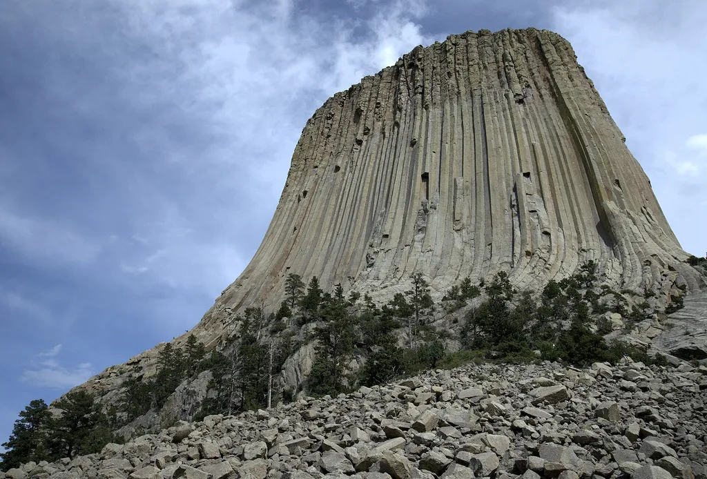 Devils Tower Boulder FieldHikingPhoto: Jim Bowen — Wikimedia Commons (CC BY 3.0)0.2 mi
 Southwest ShoulderRock climbingPhoto: w_lemay, CC BY-SA 2.0 (via Flickr)0.2 mi
 West FaceRock climbingPhoto: w_lemay, CC BY-SA 2.0 (via Flickr)0.2 miDurrance ApproachRock climbingPhoto: w_lemay, CC BY-SA 2.0 (via Flickr)0.2 mi
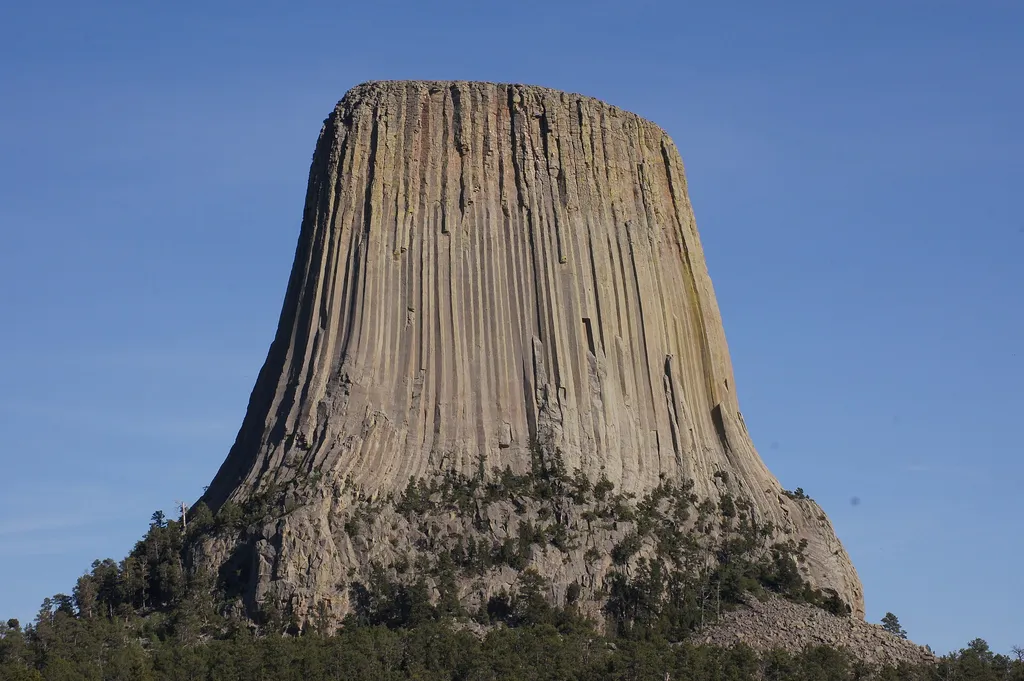 Joyner RidgeHikingPhoto: jtstewart — Wikimedia Commons (CC BY-SA 2.0)0.5 mi
Source: Roamze catalog (indexable pages within 10 miles, PostGIS distance)
 Red Beds to Joyner RidgeHiking · ~1 min drivePhoto: CC BY 2.5 (via Wikimedia Commons)
Best months: May–October. Best months have typical highs of 55–85 °F, lows of 30 °F or warmer (32 °F where the station doesn't record snow), at most one snowy day and no more than 12 wet days.
Jan
34° / 8°
8 wet · 7 snow
Feb
37° / 11°
7 wet · 6 snow
Mar
47° / 21°
7 wet · 5 snow
Apr
57° / 29°
9 wet · 2 snow
May
66° / 39°
11 wet
Jun
76° / 49°
11 wet
Jul
85° / 55°
9 wet
Aug
85° / 52°
7 wet
Sep
75° / 42°
6 wet
Oct
60° / 30°
7 wet · 1 snow
Nov
45° / 19°
6 wet · 4 snow
Dec
35° / 9°
6 wet · 6 snow
Typical high / low (°F) and days with rain or snow, 1991–2020. Measured at Devils Twr #2, WY, 0.5 mi away at 3,862 ft. Source: NOAA NCEI U.S. Climate Normals 1991–2020.
Map and trail data © OpenStreetMap contributors

