Medicine Bow Peak
 Photo: Photomnt at English Wikipedia, Public domain (via Wikimedia Commons)
- 12,009 ft
- summit
- 1
- way up
- Forest Service
- managed by
Is Medicine Bow Peak open right now?
Alert in the area
The Forest Service lists 3 alerts for Medicine Bow-Routt National Forest.
Access Impact: Big Creek Lakes Dam Project
Agency alert covering Medicine Bow-Routt National Forest · USFS · Medicine Bow-Routt National Forest
Trail & Access Impact: Stillwater Reservoir Project
Agency alert covering Medicine Bow-Routt National Forest · USFS · Medicine Bow-Routt National Forest
Snowy Range - 2026 Active Vegetation Operations
Agency alert covering Medicine Bow-Routt National Forest · USFS · Medicine Bow-Routt National Forest
As of · Source: USFS · Medicine Bow-Routt National Forest. Agencies don't list every closure — check before you go.
Medicine Bow Peak is a summit of about 12,009 feet in Albany County, Wyoming, on the Brush Creek-Hayden Ranger District of the Medicine Bow-Routt National Forest. The Forest Service manages the land, and the nearest town is Ryan Park, about 9.5 miles away. The peak sits in a cluster of trails and campgrounds. The Medicine Bow Peak Trail starts about half a mile away, and the Heart Lake Trail is about a mile off. Sugarloaf Campground is about 1.3 miles away, and the Medicine Bow Peak Area climbing area is about 1.4 miles away.
Conditions and forecast
Daily highs and lows, wind and the chance of precipitation at the summit and route start for the next 7 days, from the Open-Meteo model.
- Summit elevation
- 12,009 ft
- Land manager
- Forest Service
Elevation from USGS 3D Elevation Program terrain data (about 10 m resolution).
Map © Mapbox © OpenStreetMap contributors Questions about Medicine Bow Peak
How tall is Medicine Bow Peak?
12,009 ft (3,660 m).
How many routes go to the summit of Medicine Bow Peak?
One: Medicine Bow Peak Trail.
Where do the routes up Medicine Bow Peak start?
Medicine Bow Peak Trail starts at GAP LAKES (about 11,085 ft).
- Lookout Mountain10,253 ft · Wyoming1 route9.8 mi away
- Pennock Mountain10,041 ft · Wyoming1 route18 mi away
- North Middle Mountain8,868 ft · Colorado1 route44 mi away
- Middle Mountain9,350 ft · Colorado1 route48 mi away
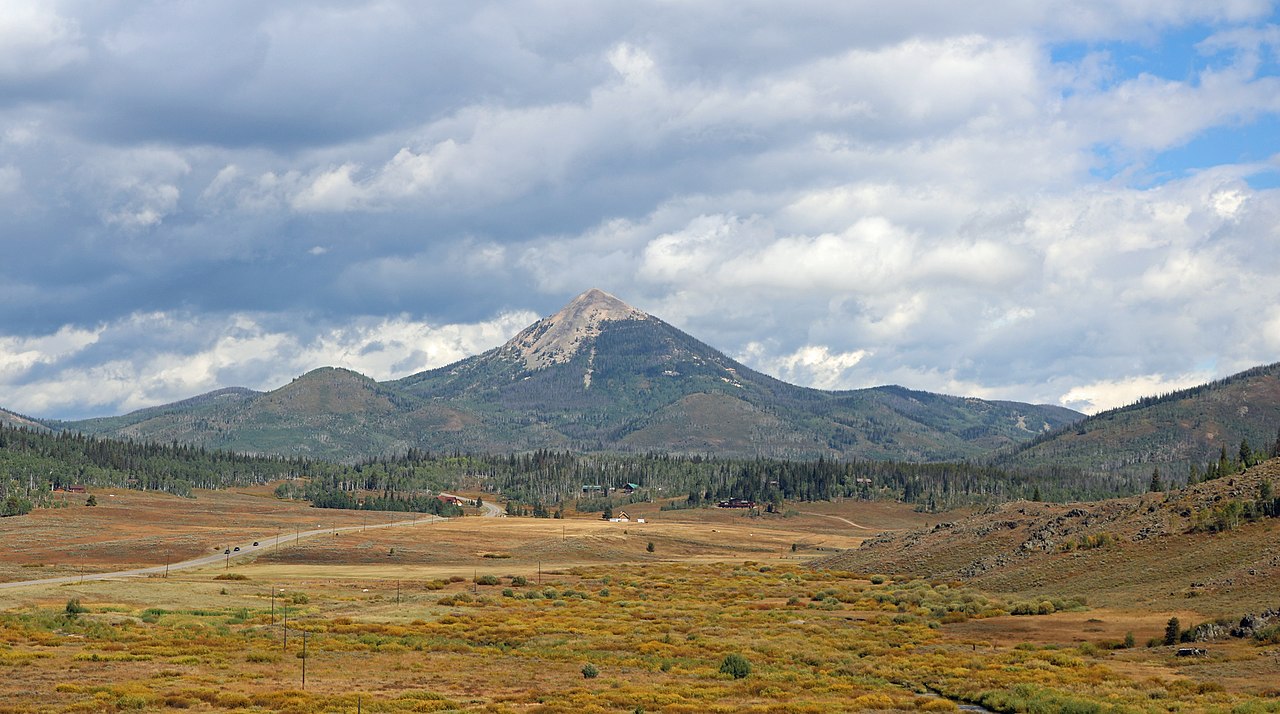 Hahns Peak10,845 ft · Colorado1 route48 mi awayPhoto: Jeffrey Beall, CC BY 4.0 (via Wikimedia Commons)
- Black Mountain9,952 ft · Colorado1 route49 mi away
- Medicine Bow Peak TrailHiking0.5 mi
 Heart Lake TrailHikingPhoto: Greg Younger, CC BY-SA 2.0 (via Wikimedia Commons)1 mi
- Sugarloaf CampgroundCamping1.3 mi
 Medicine Bow Peak AreaRock climbingPhoto: cogdogblog, CC BY 2.0 (via Flickr)1.4 mi
- West Lake MarieLake fishing2 mi
 Brooklyn Lake CampgroundCampingPhoto: Magicpiano, CC BY-SA 4.0 (via Wikimedia Commons)3.8 mi
- South Brush CreekCanoeing7.1 mi
- The Blue Marble WallRock climbing8.6 mi
Source: Roamze catalog (indexable pages within 10 miles, PostGIS distance)
 Elk MountainSummit · ~37 min drivePhoto: Milonica, CC BY-SA 3.0 (via Wikimedia Commons)
 Mount ZirkelSummit · ~1h 10m drivePhoto: TomKonrad, CC BY-SA 4.0 (via Wikimedia Commons)
- Hahns PeakSummit · ~1h 22m drivePhoto: Jeffrey Beall, CC BY 4.0 (via Wikimedia Commons)
- Lookout MountainSummit · ~17 min drive
- Pennock MountainSummit · ~31 min drive
- North Middle MountainSummit · ~1h 16m drive
- Middle MountainSummit · ~1h 22m drive
- Black MountainSummit · ~1h 24m drive
- Point CrawfordSummit · ~1h 24m drive
Also worth it near here
