
The Virginian RV Park
Hiking business nearby (~37 mi away) — hasn't claimed their Roamze page yet
Free — you'll pick up right here.
Watch this trail
Sign up to watch it — saving subscribes you to gate, closure and report changes.
Wyoming
2.8 mi
Distance
2,870 ft
Gain
1h 9m
Time
Weather is good
1 factor · 1 source
Observed 17 h ago
clear: Weather
Clear, high 65°F / low 32°F, 0% precip — 100/100 for hike
OpenWeather17 h ago
Been out here in the last few days? One report keeps this current for everyone.
Why you'll love it
Forellen Divide Trail
AI-suggested draft · review before you go
The Forellen Divide Trail is a scenic out-and-back route in Wyoming that ascends to a mountain divide with expansive views of the surrounding peaks and valleys. This short but rewarding hike offers excellent opportunities to experience alpine terrain and panoramic vistas without requiring a full day commitment. The trail provides a great option for hikers seeking a quick escape into the high country.
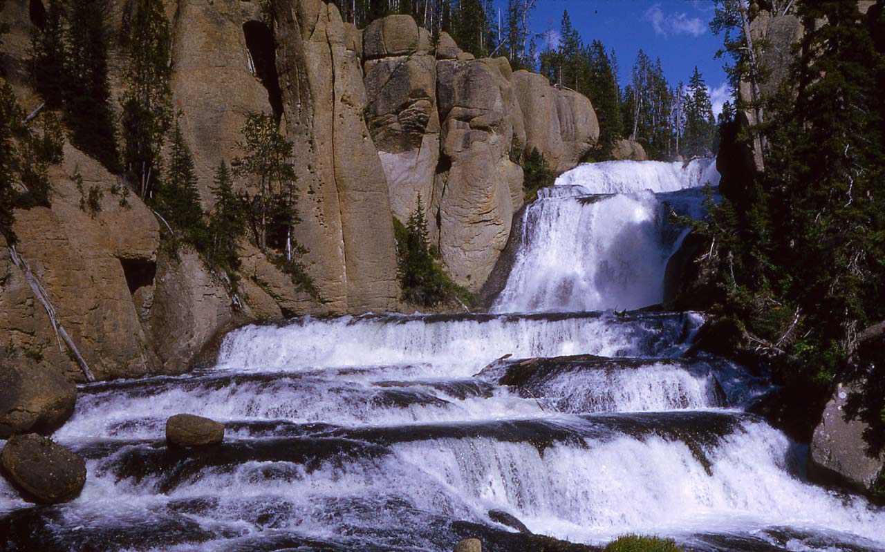
 Photo: Don Graham from Redlands, CA, USA - God bless it!, CC BY-SA 2.0 (via Wikimedia Commons)
Webb Canyon Trail
~11 min drive
Moderate 7.71-mile out-and-back canyon hike in Wyoming.
Grand Teton North Boundary Turnout
~13 min drive
The top of Huckleberry Hill marks the boundary between Grand Teton National Park and the John D. Rockefeller, Jr. Memorial Parkway. The US Forest Service transferred the parkway land to the National Park Service in 1972 in honor of Rockefeller's many contributions. Today…
 Photo: W. Bulach, CC BY-SA 4.0 (via Wikimedia Commons)
Cascade Creek-Falls River Cutoff Trail
~16 min drive
Brief out-and-back walk to Cascade Creek Falls in Wyoming.
Jackass Pass Trail
~4 min drive
Short out-and-back climb to a scenic Wyoming alpine pass.
Owl Creek Trail
~5 min drive
11.26-mile out-and-back creek valley hike in Wyoming.
Teton Crest
~5 min drive
6.13-mile out-and-back trail on the Teton Range crest in Wyoming.
John D. Rockefeller, Jr. Memorial Parkway South Turnout
~14 min drive
The top of Huckleberry Hill marks the boundary between Grand Teton National Park and the John D. Rockefeller, Jr. Memorial Parkway. The US Forest Service transferred the parkway land to the National Park Service in 1972 in honor of Rockefeller's many contributions. Today…
Owl-Berry Cutoff Trail
~6 min drive
Short out-and-back Wyoming hike perfect for a quick nature walk.
Survey Peak Trail
~4 min drive
Moderate out-and-back summit hike with panoramic Wyoming views.
Teton Crest North
~9 min drive
24.15-mile out-and-back trail in Wyoming with 2,354 ft gain.
Local operatorsoffering guided trips. You book directly with them — Roamze doesn’t take a cut.
The Virginian RV Park
Hiking business nearby (~37 mi away) — hasn't claimed their Roamze page yet
