Loading…

Soda Butte Creek
Free — you'll pick up right here.
Watch this trail
Sign up to watch it — saving subscribes you to gate, closure and report changes.
Wyoming
We won't guess. Here is exactly what we do and don't know.
What we do know
Inside Yellowstone National Park
National Park unit boundary is mapped — agency alerts for it feed this page automatically.
Boundary data
What's missing
No access route mapped
We don't yet know which road reaches this trailhead, so we can't tell you if it's gated.
Nobody's filed a report here yet — be the first.
Soda Butte Creek
AI-suggested draft · review before you go
No elevation data on file for this trail.
Soda Butte Creek is located near the park boundary, approximately 5 miles (8 km) downstream of the former location of the McLaren Mine. It joins the Lamar River it flows across the northern range to the outflow of Yellowstone Lake. As a result of metal contamination from previous mining activity, dissolved and total metals (arsenic, copper, iron, and selenium) persist in the floodplain. Yellowstone’s streams, rivers, and lakes are influenced by season, elevation, and precipitation. Some waters are also affected by the park’s geothermal features, generally resulting in warmer temperatures and higher dissolved ion concentrations. Headwaters Yellowstone waters provide essential moisture to much of the American West and water resources provide recreational opportunities, plant and wildlife habitat, and scenic vistas. The Yellowstone River continues north and east through Montana and joins the Missouri River just across the North Dakota state line. Restoration of the Creek State and federal agencies completed an effort to relocate mine tailings away from the floodplain and to reconstruct the former channel in 2014. Results from monitoring activities in Soda Butte Creek downstream of the reclamation work show that iron levels associated with the former mining site have been dramatically reduced. In addition, a collaboration between state and federal agencies is underway to further evaluate the contributions of metals from other tributaries in the Soda Butte Creek drainage. Animals are Dangerous Do not approach or feed any animal. Bison and elk have injured people. Stay 100 yards (91 m) from bears and wolves. Stay 25 yards (23 m) from all other animals. You are responsible for your safety. Think Safety, Act Safely. Yellowstone is a Dangerous Place.
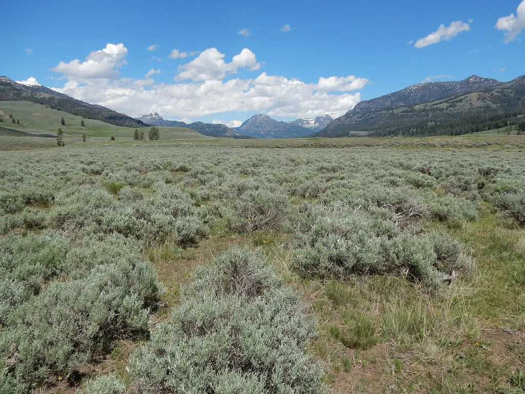
Lamar Valley - Wolf Watching
~2 min drive
<p>Wolves are highly social animals and live in packs. The pack is a complex social family with older members (often the alpha male and alpha female) and subordinates. Each member has its own personality traits and roles within the pack.</p> <p>Packs defend their territory fro…
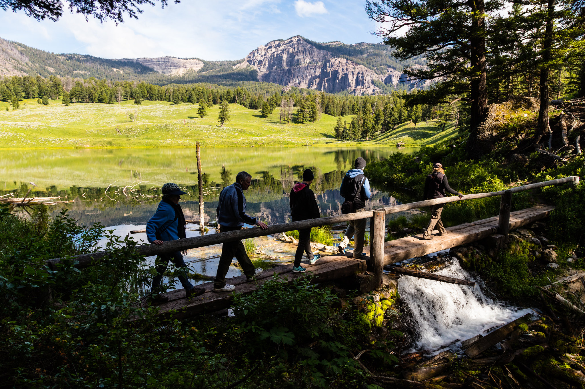
Trout Lake Trailhead
~4 min drive
From this trailhead you can embark on this trail: Trout Lake Trail Parking is available at the trailhead. However, this is a popular hike, so parking can be limited. Trout Lake Trail This is a moderately steep 1.2-mile (1.9-km) lollipop loop trail that begins and ends at t…
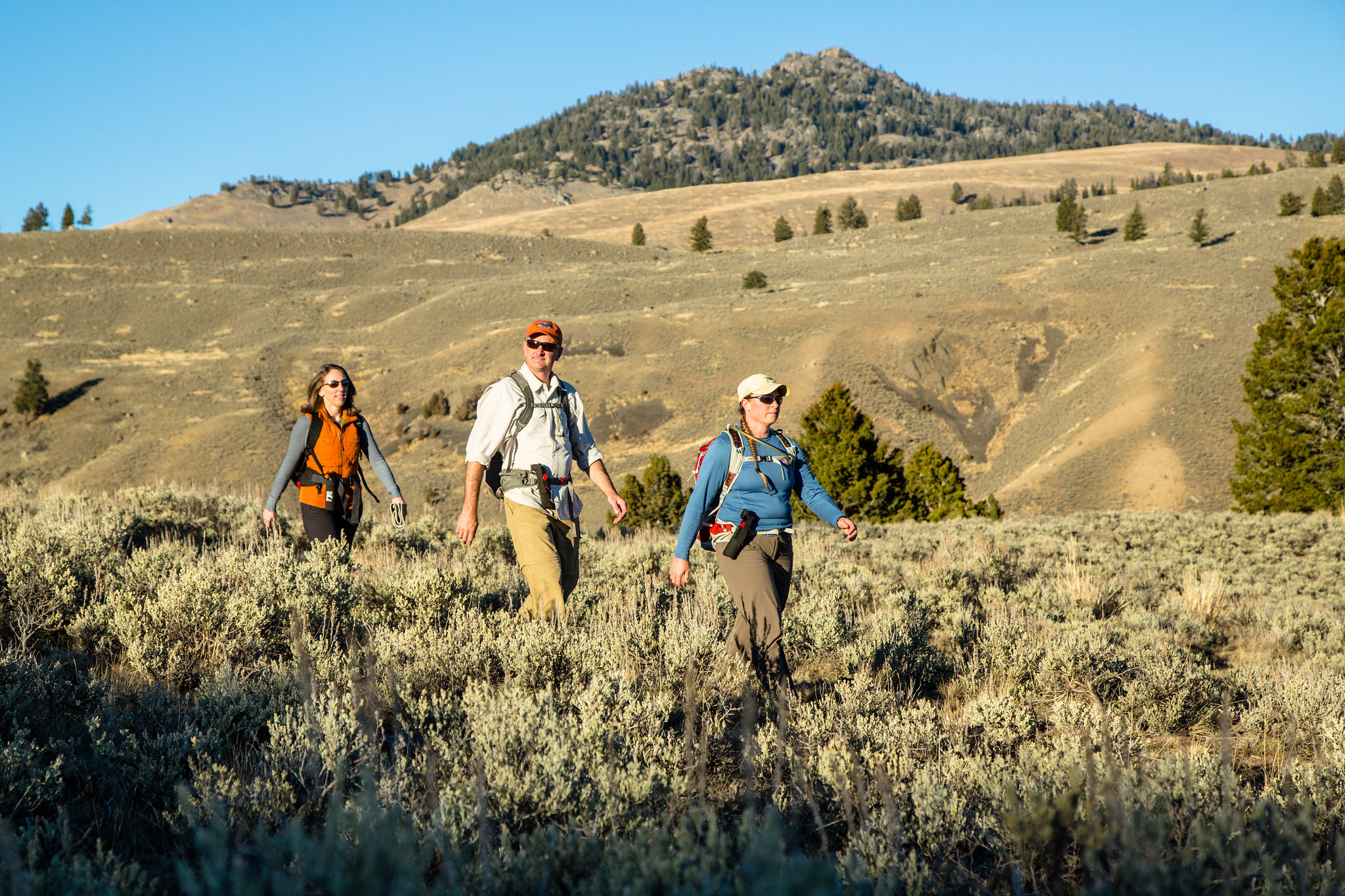
Garnet Hill Loop Trailhead (2K2)
~22 min drive
Situated in Pleasant Valley near Tower Junction, this trailhead provides access to the following trail: Garnet Hill Loop Trail There is very limited parking at this trailhead. However, a large parking lot is located at the Tower Junction Trailhead just to the south. Garnet…

Republic Cr. Trail
~24 min drive
8.2 mi · Hard
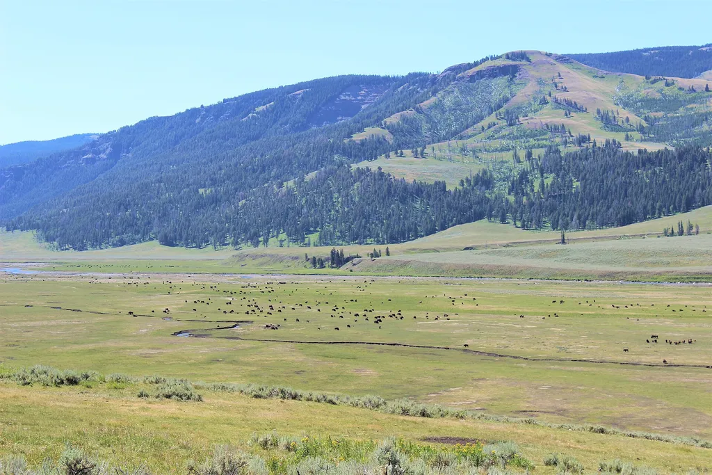
Lamar Valley - Predators and Prey
~9 min drive
<p>Wolves eat a wide variety of prey, large and small. They efficiently hunt large prey that other predators cannot usually kill.</p> <p>In Yellowstone, 90% of their winter prey is elk. In the summer, 10 to 15% of their summer prey is deer. They also can kill bison.</p> <p>Man…
Lost Lake Loop
~23 min drive
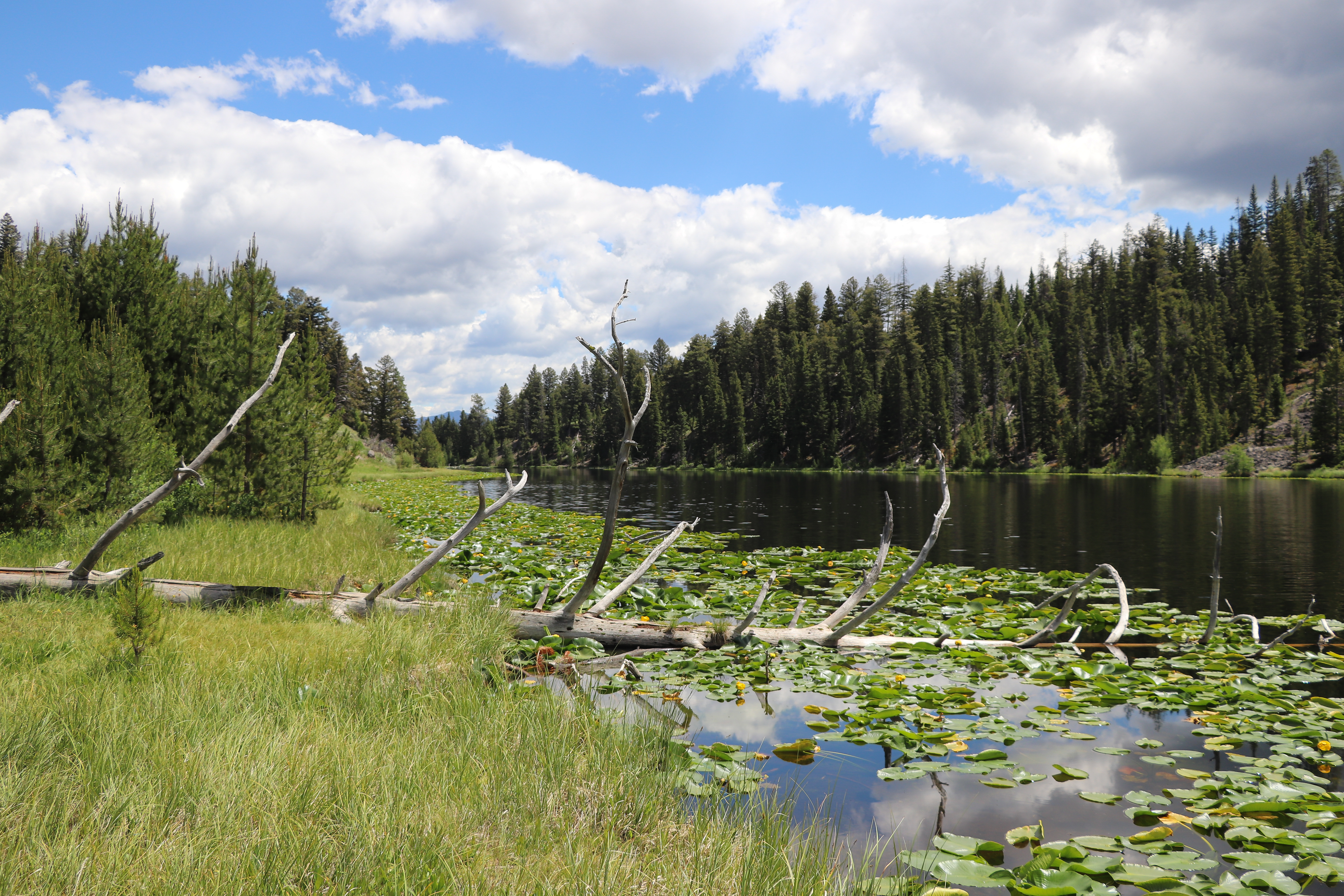
Round trip 2.8 miles (4.6 km), moderate. The trail climbs 300 feet up a forested hillside. At the junction, veer right (west). You reach Lost Lake in 0.2 miles (0.3 km). From there, follow the trail through a ravine to the Petrified Tree parking area. From the parking lot, th…

Lost Lake
~23 min drive
6.6 mi · Moderate
Lost Wolverine
~24 min drive
Remote 21.84-mile backcountry trail with 1,523 ft elevation gain.
Slough Creek Campground Entrance Vault Toilet
~15 min drive
A worthwhile stop near Wyoming.

Chittenden Road - Mount Washburn Trail
~25 min drive
5.7 mi · Easy