Middle Fork/South Fork
Campground
Campground · 3.2 mi from the trail
Yurt Trail is a short, out-and-back hike of about 1.3 miles in Wyoming's Teton area, starting from a trailhead about 1.3 miles from Teton Village. The route rises steadily to a high point of 6,987 feet, with the steepest stretch around 0.36 miles in, where the grade reaches about 17%. The total climb is roughly 949 feet for the round trip, and the trail is rated easy. Summer is the most comfortable time to go. Typical July averages from the nearby Moose weather station run to a high of 82°F and a low of 44°F, while winter highs stay in the 20s. The trail makes an easy pairing with Lower Faces Loop, about 0.8 miles away, and the (c) East Sector and (b) Central Sector climbing areas, each about a mile off. For a longer outing, Casper Ridge Loop lies about 1.5 miles away.
Middle Fork/South Fork
Campground
Places © OpenStreetMap contributors, Places © Overture Maps Foundation
More in JacksonNot on Roamze yet. Their page has how to reach them.
 Casper Ridge LoopHikingPhoto: Matt Emerson from Story City, Iowa, USA, CC BY 2.0 (via Wikimedia Commons)1.5 mi
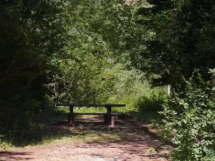 Trail CreekCampingPhoto: Recreation.gov (RIDB) / public domain9.9 mi
Source: Roamze catalog (indexable pages within 10 miles, PostGIS distance)
Rock Spring LoopHiking · ~3 min drivePhoto: Matt Emerson from Story City, Iowa, USA, CC BY 2.0 (via Wikimedia Commons) Open Canyon TrailHiking · ~8 min drivePhoto: aoiaio, CC BY 3.0 (via Wikimedia Commons)Open Canyon Cutoff TrailHiking · ~8 min drivePhoto: aoiaio, CC BY 3.0 (via Wikimedia Commons)Rendevous Mtn TrailHiking · ~3 min drivePhoto: Matt Emerson from Story City, Iowa, USA, CC BY 2.0 (via Wikimedia Commons)
Also worth it near here
 Jackson Hole Mountain ResortDownhill skiing · ~2 min drivePhoto: Enricokamasa, Public domain (via Wikimedia Commons)
 North SideRock climbing · ~2 min drivePhoto: jeffgunn, CC BY 2.0 (via Flickr)
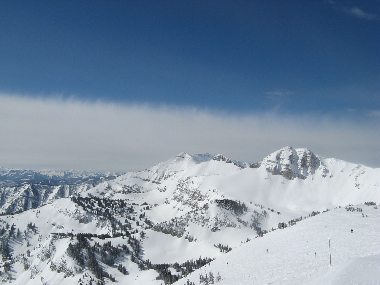 Rendezvous MountainSummit · ~5 min drivePhoto: Ams100272, Public domain (via Wikimedia Commons)
Best months: May–September. Best months have typical highs of 55–85 °F, lows of 30 °F or warmer (32 °F where the station doesn't record snow), at most one snowy day and no more than 12 wet days.
Jan
27° / 1°
16 wet
Feb
32° / 6°
14 wet
Mar
42° / 15°
12 wet
Apr
50° / 24°
10 wet
May
62° / 33°
12 wet
Jun
71° / 39°
11 wet
Jul
82° / 44°
9 wet
Aug
81° / 42°
9 wet
Sep
71° / 34°
9 wet
Oct
56° / 25°
9 wet
Nov
39° / 15°
11 wet
Dec
28° / 4°
16 wet
Typical high / low (°F) and days with rain or snow, 1991–2020. Measured at Moose, WY, 8.4 mi away at 6,444 ft. The station sits about 500 ft lower than this place, so expect it a little cooler here. This station doesn't record snowfall. Source: NOAA NCEI U.S. Climate Normals 1991–2020.
Map and trail data © OpenStreetMap contributors
