Free — you'll pick up right here.
Watch this trail
Sign up to watch it — saving subscribes you to gate, closure and report changes.
Wyoming
West Thumb Overlook Loop Trail
1.5 mi
Distance
499 ft
Gain
38 min
Time
No verdict for this trail
We won't guess. Here is exactly what we do and don't know.
What we do know
Inside Yellowstone National Park
National Park unit boundary is mapped — agency alerts for it feed this page automatically.
Boundary data
What's missing
No access route mapped
We don't yet know which road reaches this trailhead, so we can't tell you if it's gated.
Nobody's filed a report here yet — be the first.
Why you'll love it
Here's your day, mapped
West Thumb Overlook Loop Trail
AI-suggested draft · review before you go
Meals
Gear for the day
Elevation & route
- Distance
- 1.5 mi
- Elevation gain
- 499 ft
- Elevation loss
- 499 ft
- Highest point
- 8,034 ft
- Lowest point
- 7,784 ft
Photos
Directions & GPX
Permits & access
- Managing agency
- National Park Service
About this trail
The West Thumb Overlook Loop Trail offers a short, accessible out-and-back hike to scenic vistas overlooking West Thumb of Yellowstone Lake in Wyoming. This gentle trail provides excellent views of the geothermal features and pristine waters that make this area distinctive, making it ideal for visitors seeking a quick but rewarding walk with minimal elevation gain.
Add to a trip & share
Keep exploring — more trails worth the drive
Fishing Cone
~1 min drive
This geyser was named after nineteenth-century visitors would boil their freshly caught fish right in the vent. This practice is no longer allowed, as it was severely damaging the geyser cone. Geysers Geysers have constrictions in their plumbing systems that prevent water…
Riddle Lake Trail
~6 min drive
This trailhead is along the South Entrance Road and provides access to one trail: Riddle Lake Trail Riddle Lake Trail This 4.8-mile (7.7-km) there-and-back trail travels through small mountain meadows and forests to the shores of a picturesque little lake. Look for elk in…
DeLacy Creek Trail
~8 min drive
Scenic out-and-back creek hike through Wyoming forest.
Mount Sheridan Trail
~17 min drive
Out-and-back alpine hike to Mount Sheridan with mountain views.
Grant Village Backcountry Office
~3 min drive
Stop by the backcountry office to purchase: fishing permits, entrance and interagency passes, overnight backcountry camping permits, float tube permits, and non-fee horseback day riding permits. Our experienced staff can also help you with trail, hiking, and horseback riding…
Duck Lake Trail
~1 min drive
Short out-and-back hike to a scenic alpine lake in Wyoming.
Lewis River Channel Trail
~10 min drive
Scenic 6.14-mile out-and-back river channel hike in Wyoming.
Shoshone Lake / Dogshead Trailhead (8K1)
~11 min drive
This trailhead is located approximately 5 miles (8 km) south of the Grant Village intersection, just north of Lewis Lake on the west side of the road. The trailhead provides access to the following trail: Shoshone Lake/Dogshead Trail Shoshone Lake/Dogshead Trail This is a…
West Thumb Geyser Basin Trail
~1 min drive
Easy out-and-back walk through Wyoming's geothermal hot springs and geysers.
Divide Trail
~12 min drive
Easy 1.71-mile out-and-back hike in Wyoming's high country.
Also worth it near here
 Photo: Yellowstone National Park from Yellowstone NP, USA, Public domain (via Wikimedia Commons)
Grant Village Campground
~2 min drive
Grant Marina Boat Launch
~4 min drive
 Photo: Jim Peaco, Public domain (via Wikimedia Commons)
Factory Hill
~14 min drive
 Photo: G. Edward Johnson, CC BY 3.0 (via Wikimedia Commons)
Yellowstone Natural Bridge
~17 min drive
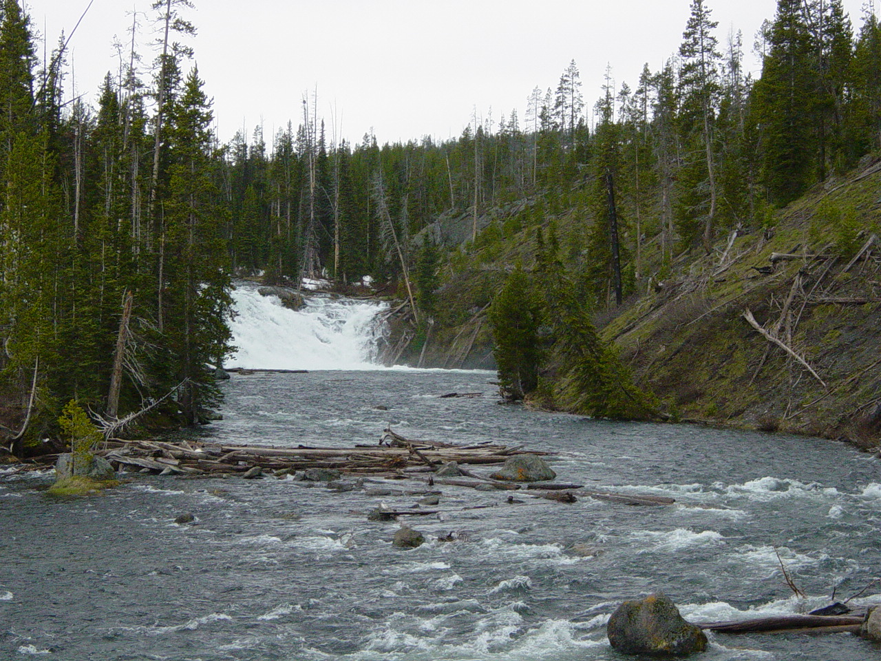 Photo: No machine-readable author provided. MONGO assumed (based on copyright claims)., Public domain (via Wikimedia Commons)
Lewis Falls
~18 min drive
