Loading trail…

Grant Marina
Free — you'll pick up right here.
Save this plan
Sign up to save your own editable copy — you'll pick up right here.
Wyoming
No conditions check on file for this trail yet — always verify current conditions before you go.
Grant Marina
AI-suggested draft · review before you go
No elevation data on file for this trail.
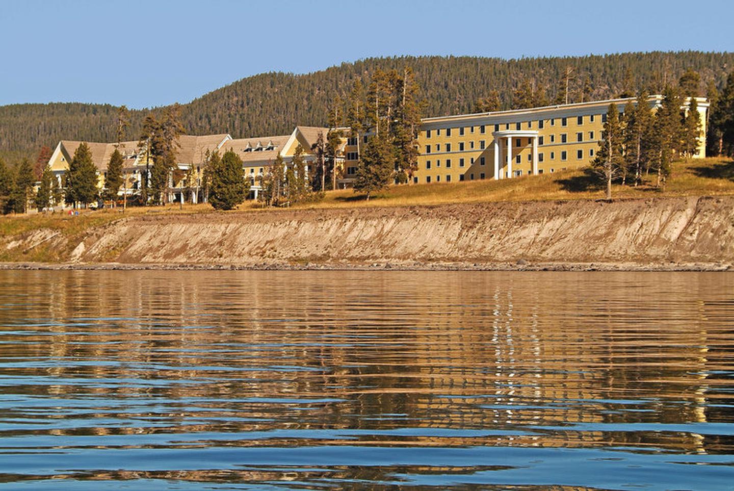
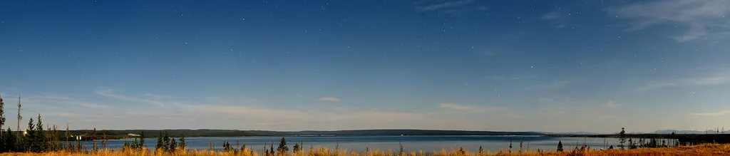
Private and commercial paddling excursions launch from the Grant Marina. During late summer, Yellowstone Lake becomes thermally stratified with several water layers having different temperatures. The topmost layer rarely exceeds 66 degrees F, and the lower layers are much colder. Because of the extremely cold water, survival time for anyone in the lake is estimated to be only 20 to 30 minutes. In winter, ice thickness on Yellowstone Lake varies from a few inches to more than two feet with many feet of snow on top of the ice. Yellowstone Lake Yellowstone Lake is the largest high-elevation lake (above 7,000 ft) in North America, covering 286 square miles, with an average depth of 138 feet, and just over 12,000,000 acre-feet of water. The lake is covered by ice from mid-December to May or June. Swimming and Soaking Swimming is not recommended in Yellowstone, and is occasionally prohibited, because most lakes and streams are dangerously cold. Firehole Canyon, near Madison Junction, has a swimming area popular in summer. Soaking in hot springs and other thermal features is prohibited and features are very fragile. You may soak in bodies of water fed by runoff from hydrothermal features, such as Boiling River. Anticipate Potential Hazards From burning hot hydrothermal features, to unpredictable wildlife, to steep terrain, Yellowstone is a dangerous place. You are responsible for your safety. As such, please remember these safety tips: Never touch any hydrothermal waters—they can scald you. Observe safe distances from all wildlife. Stay behind fencing, guard rails, and ledges. Use caution when around park waters—they are cold and fast. Show patience and courtesy to other people. Think Safety, Act Safely Accessibility Boat launch is wheelchair-accessible.
Grant Village Backcountry Office
~1 min drive
<p>Stop by the backcountry office to purchase: fishing permits, entrance and interagency passes, overnight backcountry camping permits, float tube permits, and non-fee horseback day riding permits. Our experienced staff can also help you with trail, hiking, and horseback ridin…
Riddle Lake Trailhead (7K3)
~5 min drive
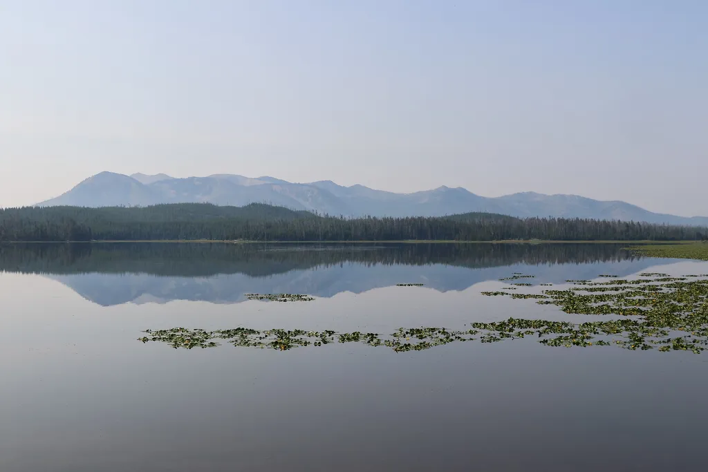
<p>This trailhead is along the South Entrance Road and provides access to one trail:</p> <ul> <li>Riddle Lake Trail</li> </ul> <p><b>Riddle Lake Trail</b></p> <p>This 4.8-mile (7.7-km) there-and-back trail travels through small mountain meadows and forests to the shores of a p…

Fairy Falls Trail
~28 min drive
15 mi · Hard
Colter / Wolverine Trailhead (8K8)
~31 min drive
<p>This is a remote trailhead at the southern boundary of the park that is not accessible by road. From this trailhead, you can embark on the following trails within the park:</p> <ul> <li>Colter / Wolverine Trail</li> <li>South Boundary Trail: South Entrance–Harebell</li> <li…
Fishing Cone
~4 min drive
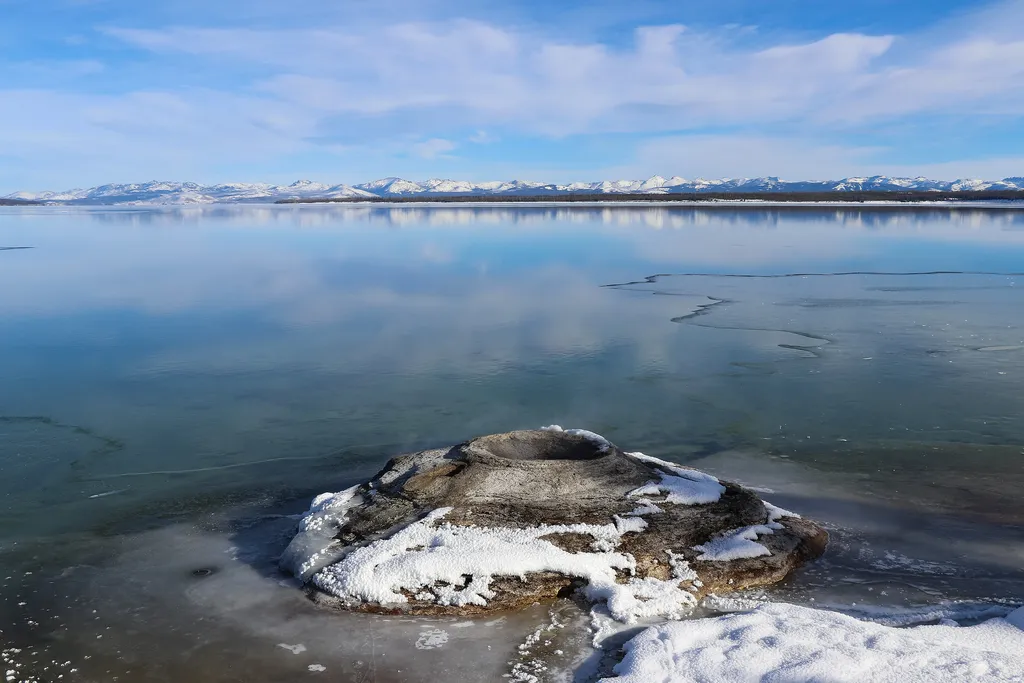
<p>This geyser was named after nineteenth-century visitors would boil their freshly caught fish right in the vent. This practice is no longer allowed, as it was severely damaging the geyser cone.</p> <h2>Geysers</h2> <p>Geysers have constrictions in their plumbing systems that…

Elephant Back Mountain Trail
~23 min drive
5.8 mi · Easy
Shoshone Lake / Dogshead Trailhead (8K1)
~10 min drive
<p>This trailhead is located approximately 5 miles (8 km) south of the Grant Village intersection, just north of Lewis Lake on the west side of the road. The trailhead provides access to the following trail:</p> <ul> <li>Shoshone Lake/Dogshead Trail</li> </ul> <p><b>Shoshone L…

Pelican Creek Nature Trail
~25 min drive
1.3 mi · Easy
Heart Lake Trailhead (8N1)
~10 min drive
<p>This is a popular backcountry trailhead, from which you can adventure along one trail:</p> <ul> <li>Heart Lake Trail</li> </ul> <p><b>Heart Lake Trail</b></p> <p>A moderate 17.4-mile (28-km) one-way trail that leads past thermal areas and to Heart Lake. Heart Lake is about…

Storm Point Trail
~27 min drive
4.1 mi · Easy