Loading…

Fishing Cone
Free — you'll pick up right here.
Watch this trail
Sign up to watch it — saving subscribes you to gate, closure and report changes.
Wyoming
We won't guess. Here is exactly what we do and don't know.
What we do know
Inside Yellowstone National Park
National Park unit boundary is mapped — agency alerts for it feed this page automatically.
Boundary data
What's missing
No access route mapped
We don't yet know which road reaches this trailhead, so we can't tell you if it's gated.
Nobody's filed a report here yet — be the first.
Fishing Cone
AI-suggested draft · review before you go
No elevation data on file for this trail.
This geyser was named after nineteenth-century visitors would boil their freshly caught fish right in the vent. This practice is no longer allowed, as it was severely damaging the geyser cone. Geysers Geysers have constrictions in their plumbing systems that prevent water from moving freely to the surface where heat would escape. Water beneath the constrictions creates a buildup of steam. Eventually the steam pushes water past the constrictions and the geyser erupts. Use Caution in Hydrothermal Areas Stay on boardwalks and designated trails. Hydrothermal water can severely burn you. Never run, push, or shove. Supervise children at all times. Do not scratch hydrothermal mats. You are responsible for your safety. Think safety, act safely. Yellowstone is a dangerous place.
Grant Village Backcountry Office
~3 min drive
<p>Stop by the backcountry office to purchase: fishing permits, entrance and interagency passes, overnight backcountry camping permits, float tube permits, and non-fee horseback day riding permits. Our experienced staff can also help you with trail, hiking, and horseback ridin…
Riddle Lake Trailhead (7K3)
~7 min drive
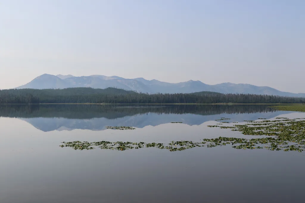
<p>This trailhead is along the South Entrance Road and provides access to one trail:</p> <ul> <li>Riddle Lake Trail</li> </ul> <p><b>Riddle Lake Trail</b></p> <p>This 4.8-mile (7.7-km) there-and-back trail travels through small mountain meadows and forests to the shores of a p…

Fairy Falls Trail
~25 min drive
15 mi · Hard
Colter / Wolverine Trailhead (8K8)
~34 min drive
<p>This is a remote trailhead at the southern boundary of the park that is not accessible by road. From this trailhead, you can embark on the following trails within the park:</p> <ul> <li>Colter / Wolverine Trail</li> <li>South Boundary Trail: South Entrance–Harebell</li> <li…
Shoshone Lake / Dogshead Trailhead (8K1)
~12 min drive
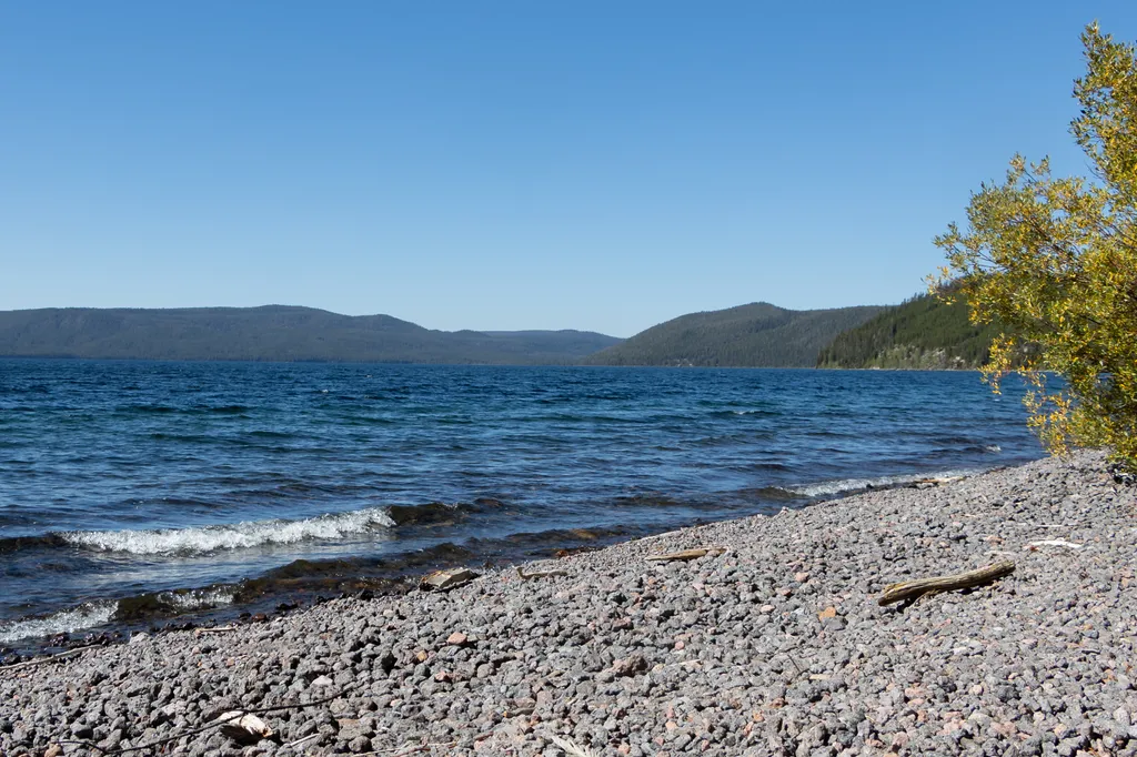
<p>This trailhead is located approximately 5 miles (8 km) south of the Grant Village intersection, just north of Lewis Lake on the west side of the road. The trailhead provides access to the following trail:</p> <ul> <li>Shoshone Lake/Dogshead Trail</li> </ul> <p><b>Shoshone L…

Elephant Back Mountain Trail
~22 min drive
5.8 mi · Easy
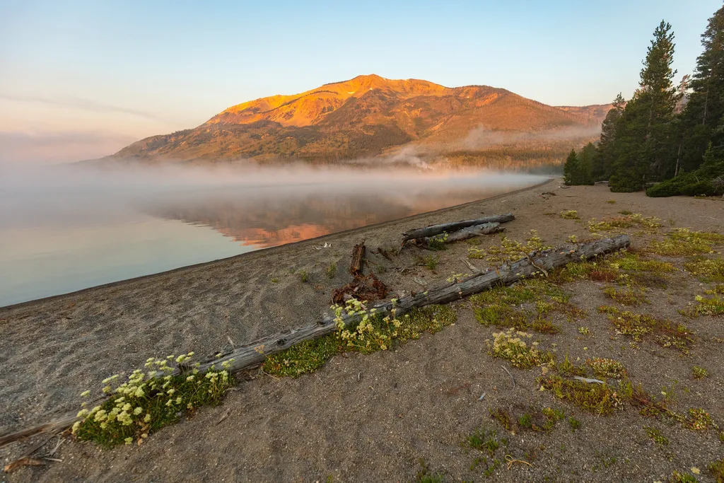
Heart Lake Trailhead (8N1)
~12 min drive
<p>This is a popular backcountry trailhead, from which you can adventure along one trail:</p> <ul> <li>Heart Lake Trail</li> </ul> <p><b>Heart Lake Trail</b></p> <p>A moderate 17.4-mile (28-km) one-way trail that leads past thermal areas and to Heart Lake. Heart Lake is about…

Pelican Creek Nature Trail
~24 min drive
1.3 mi · Easy
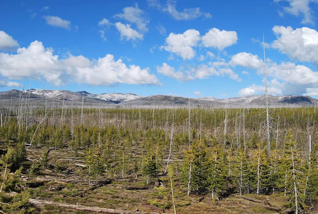
Phantom / Pitchstone Trailhead (8K4)
~22 min drive
<p>This trailhead is located on the west side of the South Entrance Road and provides access to the following trail:</p> <ul> <li>Pitchstone Plateau Trail</li> </ul> <p><b>Pitchstone Plateau Trail</b></p> <p>A moderately strenuous 16.3-mile (26.2-km) one-way trail that rises u…
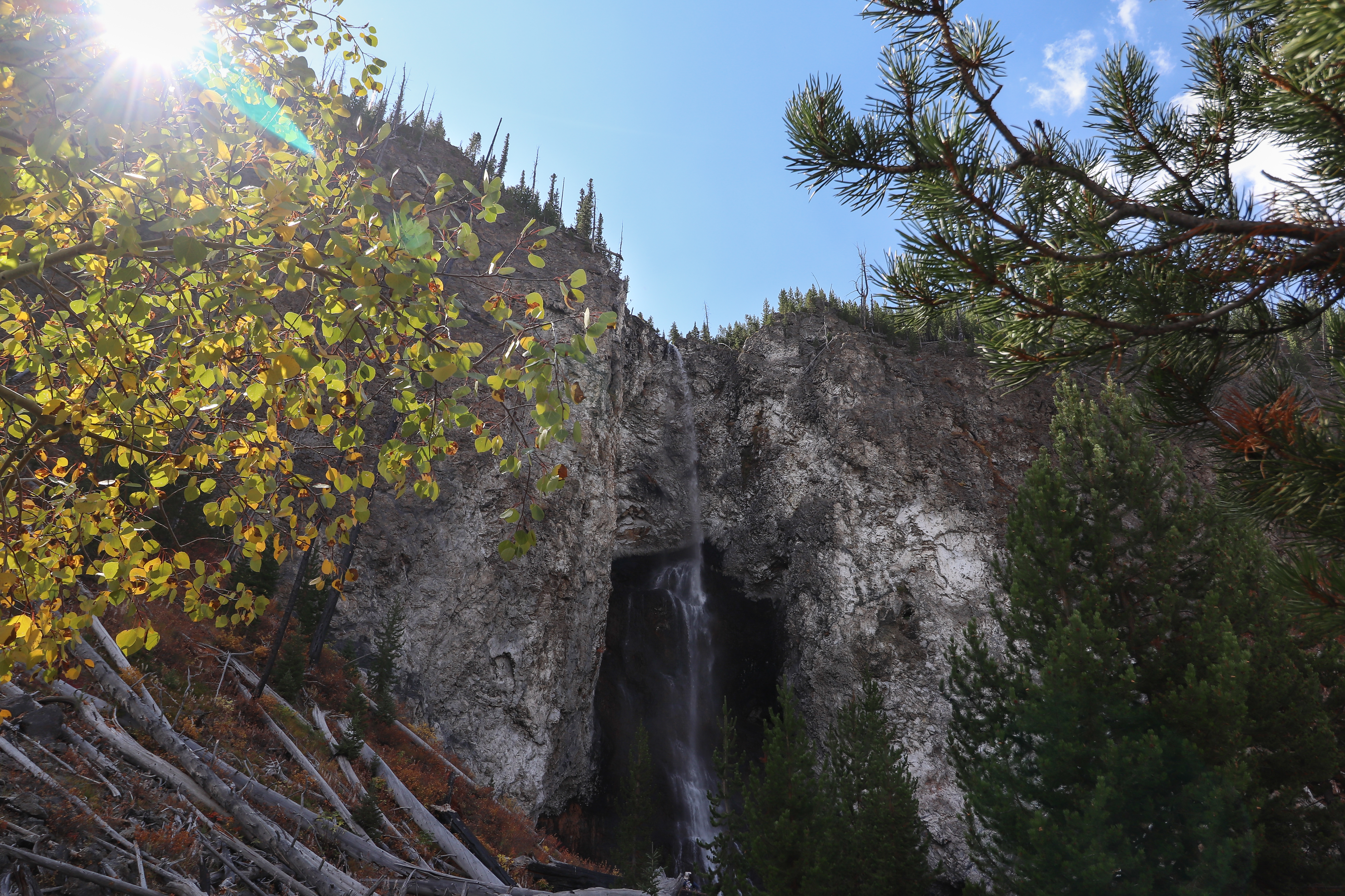
Fairy Falls Trailhead (OK5)
~25 min drive
This trailhead provides access to the following trails: Grand Prismatic Overlook Trail Fairy Falls Trail Grand Prismatic Overlook Trail An easy 1.2-mile (1.9-km) hike that gradually climbs 105 feet over 0.6 miles from the Fairy Falls Trailhead to a view looking down on Gra…