Twin Lakes Trail
- 1.6 mi
- round trip
- 457 ft
- climb
- 10,341 ft
- high point
- Out and back
- route
Is Twin Lakes Trail open right now?
Alert in the area
The Forest Service lists an alert for Shoshone National Forest.
Morrison Jeep Trail
Agency alert covering Shoshone National Forest · USFS · Shoshone National Forest
As of · Source: USFS · Shoshone National Forest. Agencies don't list every closure — check before you go.
Twin Lakes Trail is a short, easy out-and-back hike in Wyoming's Shoshone National Forest, within the Clarks Fork Ranger District. The trail is about 1.6 miles long, with a one-way elevation gain of 457 feet, and it rises from a low point of about 9,750 feet to a high of about 10,340 feet. The Forest Service manages the land, and the trail is accessible. It is also open to horses and bikes, and its natural surface makes it a practical choice for riders and pack animals. The trail works well as a quick outing any time of year. It is open season round year, and the climb is gentle enough to fit easily into a longer day in the area. Nearby, Line Creek Plateau and Tolman Mountain Trail are both within about a mile and a half. M-K Campground is about 2.6 miles away, and Beartooth Pass, a climbing area, is about 2.9 miles off.
- Line Creek PlateauHiking1.2 mi
- Tolman Mountain TrailHiking1.4 mi
- M-K CampgroundCamping2.6 mi
- Beartooth PassRock climbing2.9 mi
- Hellroaring PlateauHiking3 mi
- Limber PineCamping4 mi
- Headstrong ButtressRock climbing6.9 mi
- Bennett CreekCanoeing9.8 mi
Source: Roamze catalog (indexable pages within 10 miles, PostGIS distance)
 Parkside TrailHiking · ~7 min drivePhoto: Forest Service - Northern Region, Public Domain Mark (via Flickr)
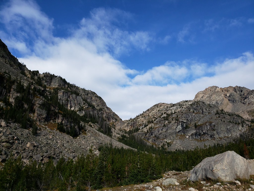 Glacier LakeHiking · ~8 min drivePhoto: Forest Service - Northern Region, Public Domain Mark (via Flickr)
 Lake ForkHiking · ~9 min drivePhoto: Forest Service - Northern Region, Public Domain Mark (via Flickr)
 Glacier Lake TrailHiking · ~9 min drivePhoto: Matt Lavin from Bozeman, Montana, USA, CC BY-SA 2.0 (via Wikimedia Commons)
- Moon Lake TrailHiking · ~8 min drivePhoto: Forest Service - Northern Region, Public Domain Mark (via Flickr)
 Beartooth LoopHiking · ~9 min drivePhoto: Chris Light, CC BY-SA 4.0 (via Wikimedia Commons)
 Lower Lake Fork TrailHiking · ~10 min drivePhoto: Forest Service - Northern Region, Public Domain Mark (via Flickr)
- Lower Parkside TrailHiking · ~7 min drive
 Bear TrackHiking · ~12 min drivePhoto: Matt Lavin, CC BY-SA 2.0 (via Flickr)
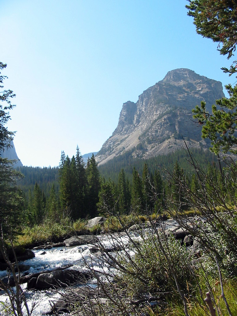 Lost LakeHiking · ~12 min drivePhoto: Stupid Dingo, CC BY 2.0 (via Flickr)
