Titcomb Basin Trail
- 6.1 mi
- round trip
- 114 ft
- climb
- 10,651 ft
- high point
- Out and back
- route
Caution today
Agency alerts are in effect for this area; weather is good · USFS, OpenWeather · checked 7 h ago
Is Titcomb Basin Trail open right now?
No closures listed
The Forest Service lists no closures for Bridger-Teton National Forest.
As of · Source: USFS · Bridger-Teton National Forest. Agencies don't list every closure — check before you go.
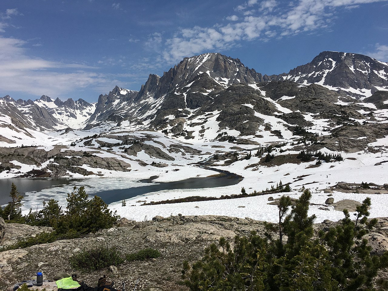
Titcomb Basin Trail is a 6.1-mile out-and-back hike in the Bridger Wilderness, part of the Pinedale Ranger District of Bridger-Teton National Forest in Wyoming. The Forest Service manages the land, and the trail is rated moderate. The route rises about 114 feet from a low point of 10,542 feet to a high of 10,651 feet. Bikes are not allowed on this trail, so plan on hiking both ways. The climb is gentle, with the most elevation gain spread across the full length of the route. Indian Pass Trail lies about 1.8 miles away, and Lost Lake is about 2.3 miles off. Climbers can head to Green Toupee Boulder, about 1.9 miles away, or the Titcomb Basin Area, about 2.5 miles away.
Local outfitters
- Yellowstone Trail RV Park20 mi away
Not on Roamze yet. Their page has how to reach them.
Keep exploring — more trails worth the drive
HIKE
Indian Pass Trail
~3 min drive
11.79-mile out-and-back trail in Wyoming with 1,697 ft elevation gain.
HIKE
Lost Lake
~4 min drive
3.35-mile out-and-back trail to Lost Lake in Wyoming with 777 ft gain.
HIKE
CDT ha- Wyoming Alternates
~8 min drive
3.11-mile out-and-back trail in Wyoming with 190 ft elevation gain.
HIKE
Palmer Lake Trail
~15 min drive
14.23-mile out-and-back trail in Wyoming with 1,186 ft elevation gain.
HIKE
Gannett Peak Trail
~11 min drive
3.56-mile out-and-back hike in Wyoming with 2,748 ft elevation gain.
HIKE
Cook Lake Loop
~9 min drive
6.50-mile out-and-back trail in Wyoming with 291 ft of elevation gain.
HIKE
Glacier Trail
~10 min drive
4.30-mile out-and-back trail in Wyoming with 682 ft of elevation gain.
HIKE
Pole Creek Trail
~15 min drive
18.91-mile out-and-back trail in Wyoming with 1,019 ft elevation gain.
HIKE
Jackson Peak
~15 min drive
Route to the summit of Jackson Peak (13,497 ft) from Elkhart Park Trailhead.
HIKE
Seneca Lake Trail
~10 min drive
9.65-mile out-and-back hike in Wyoming with 367 ft elevation gain.

Map and trail data © OpenStreetMap contributors
