The Land Tells the Story
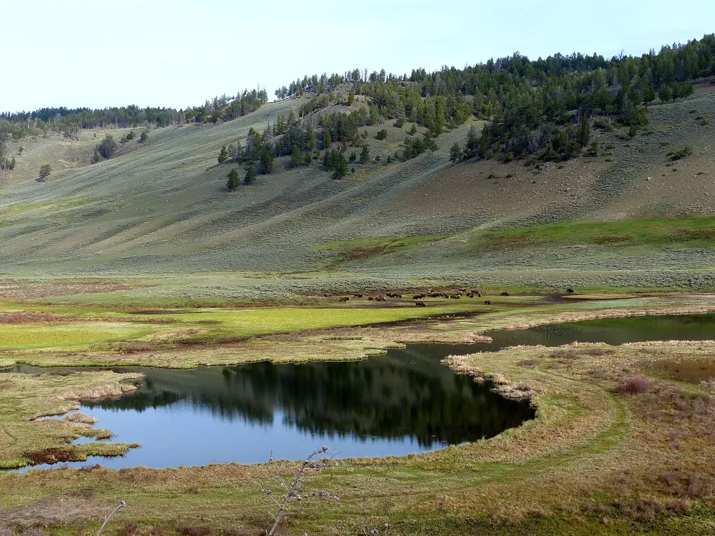 Photo: bgwashburn — Wikimedia Commons (CC BY 2.0)
- Jul–Sep
- best months
Is The Land Tells the Story open right now?
Closure in the area
There's a closure order in Yellowstone National Park. It doesn't name The Land Tells the Story, so check the source for the area it covers (2 listed).
Most Park Roads Closed to All Vehicles
Park closure covering Yellowstone National Park · NPS · Yellowstone National Park
Biscuit Basin Closed Due to Hydrothermal Explosion
Park closure covering Yellowstone National Park · NPS · Yellowstone National Park
As of · Source: NPS · Yellowstone National Park. Agencies don't list every closure — check before you go.
Each species—no matter how small—has an important role to play in a functioning ecosystem. They all participate in various ecosystem processes like transferring energy, providing nutrient storage, or breaking down pollutants. That is why biological diversity, or biodiversity, is a benchmark for measuring the health of an ecosystem. Biodiversity can be measured two ways: the number of different species (also called richness) and the abundance of each species (also called evenness).
Best time to go · Jul–Sep
Best time to visit The Land Tells the Story
Best months: July–September. Best months have typical highs of 55–85 °F, lows of 30 °F or warmer (32 °F where the station doesn't record snow), at most one snowy day and no more than 12 wet days.
Jan
31° / 12°
11 wet · 9 snow
Feb
34° / 12°
11 wet · 9 snow
Mar
42° / 19°
11 wet · 7 snow
Apr
50° / 26°
11 wet · 5 snow
May
60° / 35°
13 wet · 2 snow
Jun
69° / 42°
13 wet
Jul
81° / 48°
10 wet
Aug
80° / 47°
9 wet
Sep
69° / 39°
9 wet · 1 snow
Oct
54° / 29°
9 wet · 3 snow
Nov
39° / 19°
10 wet · 7 snow
Dec
30° / 12°
12 wet · 10 snow
Typical high / low (°F) and days with rain or snow, 1991–2020. Measured at Yellowstone Park Mammoth, WY, 6.4 mi away at 6,195 ft. The station sits about 700 ft lower than this place, so expect it a little cooler here. Source: NOAA NCEI U.S. Climate Normals 1991–2020.
Keep exploring — more trails worth the drive
HIKE
What's Blooming
Next door
Many park researchers have used the fenced areas on the northern range north of the Blacktail Ponds to study the long-term effects of grazing by fencing out large herbivores. Researchers can use existing data from the permanent plots or collect new data.
HIKE
Forces of the Northern Range Self-guided Trail
Next door
This .5 mile (.8 km) boardwalk has 11 stops with exhibits. No restroom. Yellowstone’s northern range is a grassland north of the Yellowstone and Lamar Rivers. This area sustains one of the largest and most diverse communities of free-roaming large animals in the world. Yello…
 Photo: cchadek, CC BY 3.0 (via Wikimedia Commons)
Blacktail Deer Creek Trail
~3 min drive
Easy out-and-back creek hike through Wyoming's scenic drainage.
HIKE
Rescue Creek Trail
~5 min drive
Moderate out-and-back hike following Rescue Creek through Wyoming backcountry.
HIKE
Crevice Creek Trail
~6 min drive
1.69-mile out-and-back hike in Montana with 2,113 ft elevation gain.
HIKE
Mountain View
Next door
Because of the influence rock types, sediments, and topography have on plant distribution, some scientists theorize that geology also influences wildlife. The sagebrush steppe and grasslands provide important habitat for wildlife.
Photo: cchadek, CC BY 3.0 (via Wikimedia Commons)Blacktail Ponds Spur Trail
~2 min drive
Scenic out-and-back hike to remote ponds in Wyoming's high country.
 Photo: R. Sieben, CC BY 3.0 (via Wikimedia Commons)
Lava Creek Trail
~6 min drive
Accessible out-and-back hike through Wyoming's volcanic landscape and thermal features.
HIKE
Hellroaring Creek Trail
~10 min drive
Moderate out-and-back creek hike in Wyoming's backcountry.
HIKE
Crevice Creek
~10 min drive
3.73-mile out-and-back trail in Montana with 556 ft gain.
Also worth it near here
 Photo: Rhododendrites, CC BY-SA 4.0 (via Wikimedia Commons)
Mount Everts
~8 min drive
 Photo: Unknown authorUnknown author, Public domain (via Wikimedia Commons)
Osprey Falls
~10 min drive
 Photo: Yellowstone National Park from Yellowstone NP, USA, Public domain (via Wikimedia Commons)
Mammoth Campground
~11 min drive
 Photo: Ken Lund, CC BY-SA 2.0 (via Flickr)
The Hoodoos
~13 min drive
