Loading…

Mountain View
Free — you'll pick up right here.
Watch this trail
Sign up to watch it — saving subscribes you to gate, closure and report changes.
Wyoming
We won't guess. Here is exactly what we do and don't know.
What we do know
Inside Yellowstone National Park
National Park unit boundary is mapped — agency alerts for it feed this page automatically.
Boundary data
What's missing
No access route mapped
We don't yet know which road reaches this trailhead, so we can't tell you if it's gated.
Nobody's filed a report here yet — be the first.
Mountain View
AI-suggested draft · review before you go
No elevation data on file for this trail.
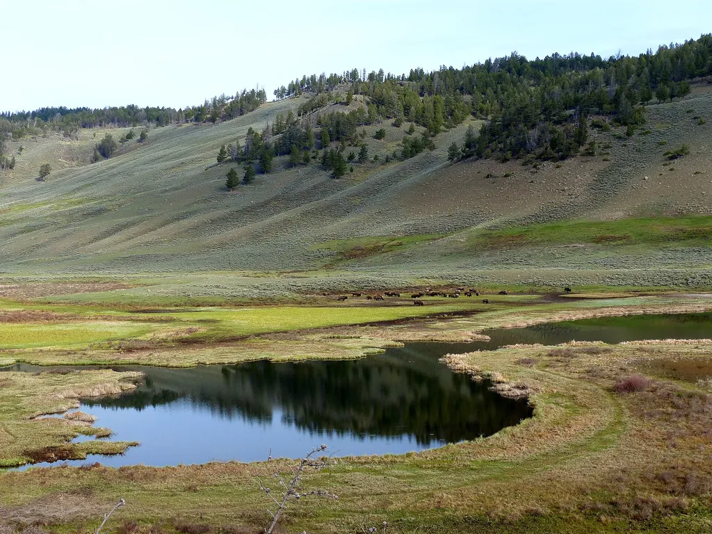
Because of the influence rock types, sediments, and topography have on plant distribution, some scientists theorize that geology also influences wildlife. The sagebrush steppe and grasslands provide important habitat for wildlife.
Glacial Boulder
~0 min drive
<p>Out-of-place boulders like this one and boulders bigger than your car, called an erratic, were deposited by a glacier.</p> <p>Glaciers result when, for a period of years, more snow falls in an area than melts.</p> <p>Once the snow reaches a certain depth, it turns into ice…
Hellroaring Trailhead (2K8)
~10 min drive
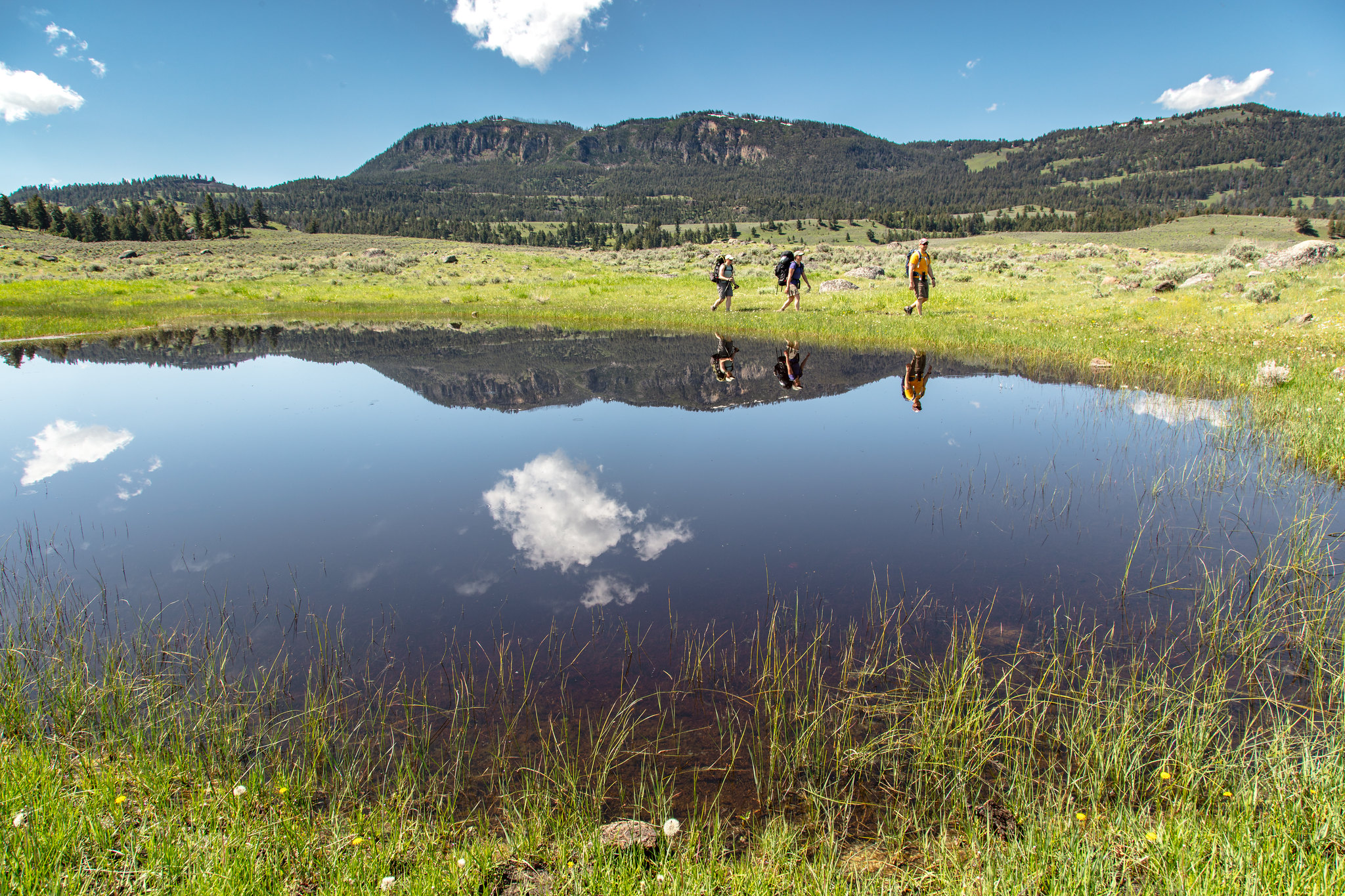
Nestled a 1/4-mile (0.4-km) off the Grand Loop Road, this trailhead provides access to the following trails: Buffalo Plateau Trail Coyote Creek Trail Garnet Hill Loop Trail Hellroaring Creek Trail There is a decent amount of parking at the trailhead. Buffalo Plateau Trai…

Osprey Falls Trail
~11 min drive
7.8 mi · Moderate
Low Specimen
~11 min drive
23-mile backcountry trek with steady elevation gain through remote Montana wilderness.
The Land Tells the Story
~0 min drive
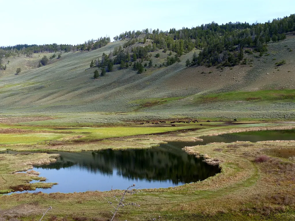
<p>Each species—no matter how small—has an important role to play in a functioning ecosystem. They all participate in various ecosystem processes like transferring energy, providing nutrient storage, or breaking down pollutants.</p> <p>That is why biological diversity, or biod…
Lost Lake Loop
~14 min drive
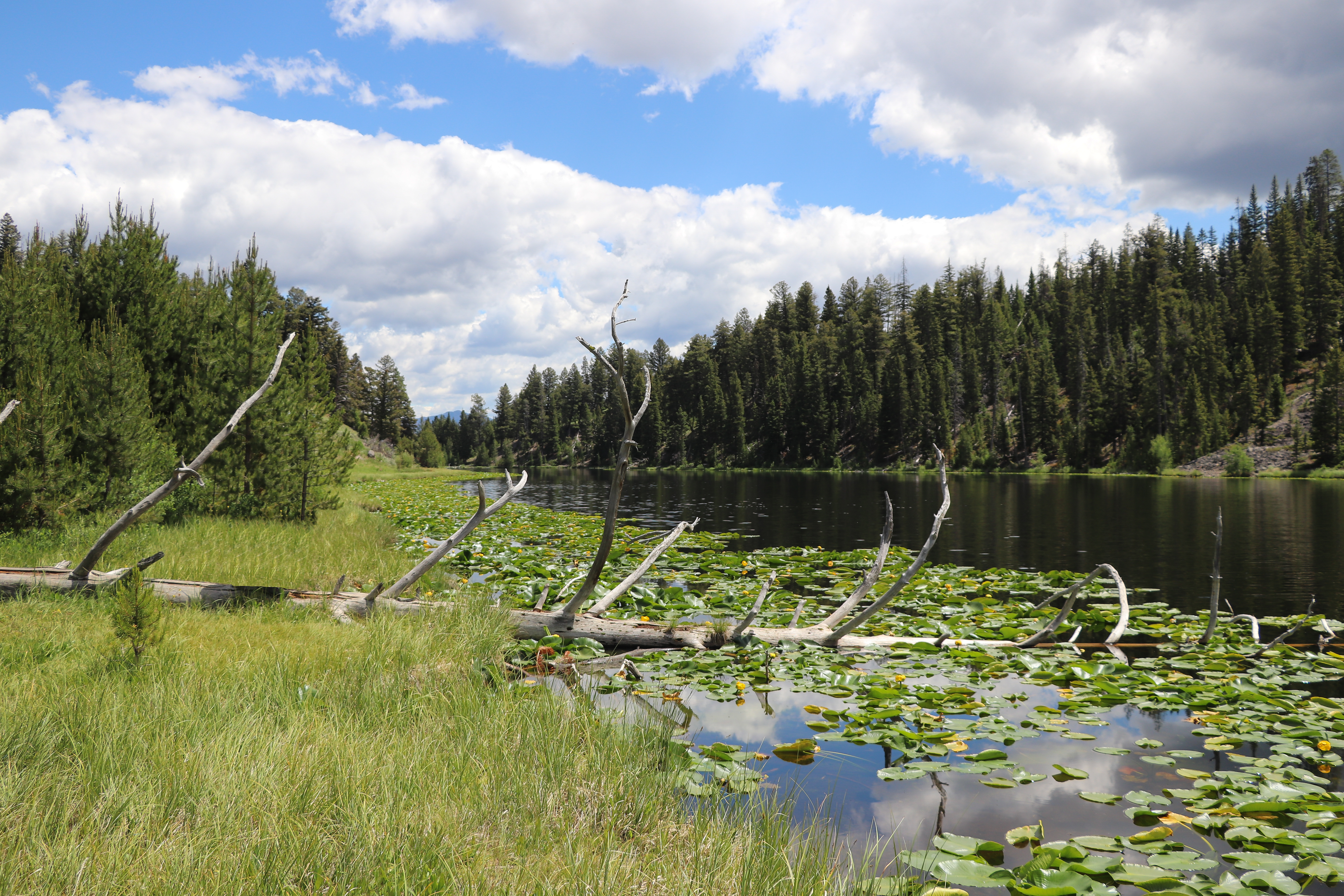
Round trip 2.8 miles (4.6 km), moderate. The trail climbs 300 feet up a forested hillside. At the junction, veer right (west). You reach Lost Lake in 0.2 miles (0.3 km). From there, follow the trail through a ravine to the Petrified Tree parking area. From the parking lot, th…
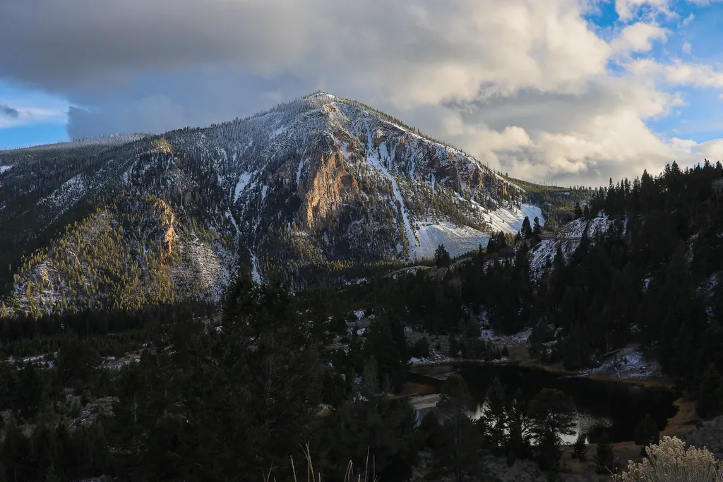
Bunsen Peak Overlook
~12 min drive
<p>Bunsen Peak prominently sits south of Mammoth Hot Springs. From this trailhead, you can embark on the following trails:</p> <ul> <li>Bunsen Peak Trail</li> <li>Bunsen Peak Road Trail</li> <li>Osprey Falls Trail</li> </ul> <p>Parking is limited. Winter trailhead access requi…
High Specimen
~12 min drive
13.56-mile moderate hike with 841 ft elevation gain in Montana backcountry.
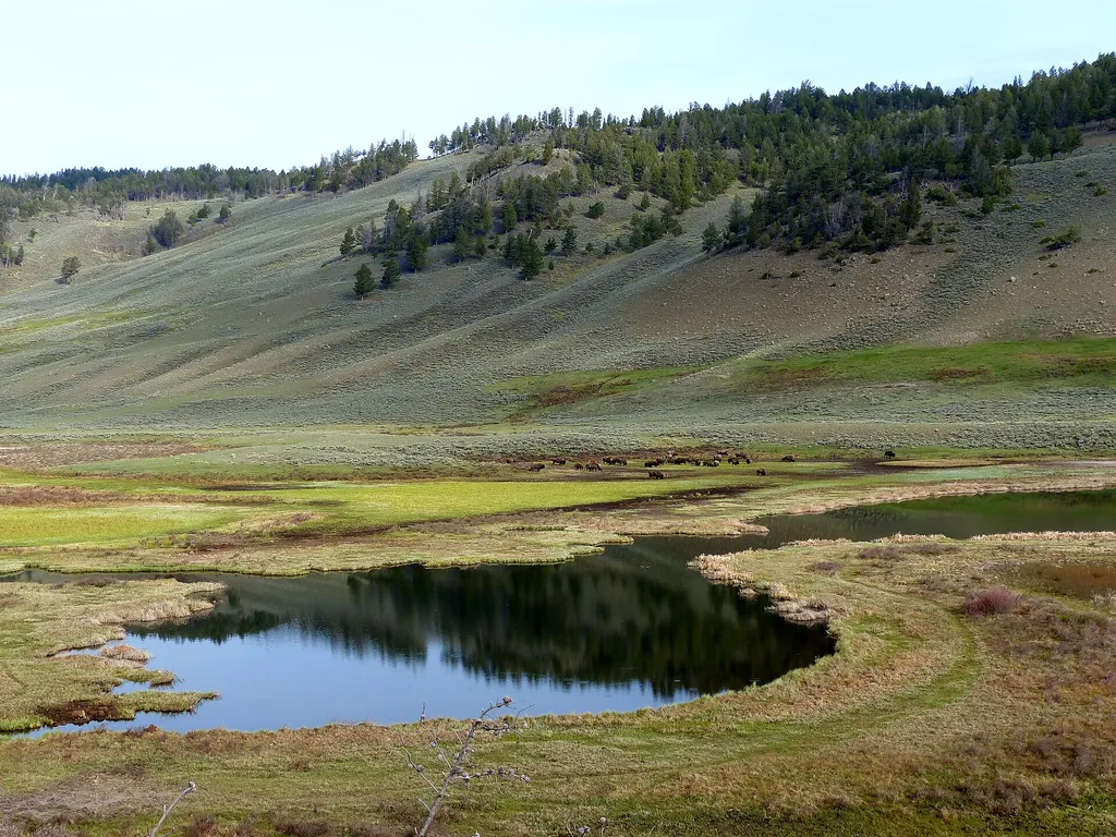
What's Blooming
~0 min drive
<p>Many park researchers have used the fenced areas on the northern range north of the Blacktail Ponds to study the long-term effects of grazing by fencing out large herbivores. Researchers can use existing data from the permanent plots or collect new data.</p>
Yellowstone River
~12 min drive
Scenic 5.5-mile riverside hike with steady elevation gain in the Yellowstone region.
