Platform Campsites
Campground
Campground · 3.3 mi from the trail
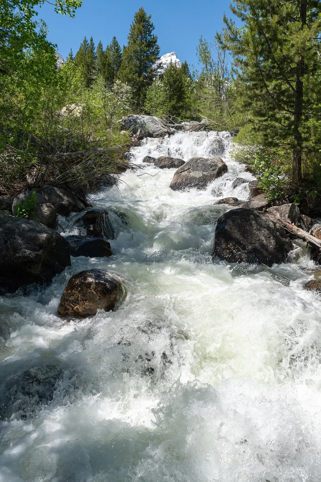 Photo: Hansueli Krapf — Wikimedia Commons (CC BY-SA 4.0)
Alert in the area
The National Park Service lists 2 alerts for Grand Teton National Park.
Construction in the South End of the Park
Park alert covering Grand Teton National Park · NPS · Grand Teton National Park
Construction on HWY 26/89/191
Park alert covering Grand Teton National Park · NPS · Grand Teton National Park
As of · Source: NPS · Grand Teton National Park. Agencies don't list every closure — check before you go.
Location: Access the Taggart Lake trailhead from the Teton Park Road three and a half miles northwest from Moose Junction. Notes: Visitor services include a modest-sized parking lot, a vault toilet, map brochure box, bike rack and a trailhead sign. Remember to bring water with you. Bears may be active any place and at any time-travel in groups, make noise and carry bear spray. Backcountry camping requires a permit-pick one up at a backcountry permits office. Destinations The Taggart Lake area offers several loop trail options. Head west toward the mountains, climb a glacial moraine mantled in aspen and lodgepole pines and descend to Taggart Lake. This glacial lake lies at the mouth of Avalanche Canyon. From Taggart Lake, you may continue north to reach Bradley Lake, another glacial lake at the mouth of Garnet Canyon. To complete the loop, continue south along the Valley Trail. If you venture beyond Bradley Lake you can intersect the Lupine Meadows trail. Taggart Lake 3.0 miles RT, 2 hours, 350 ft total climbing, Easy. Out-and-back trail traverses sagebrush flats and forests to a lake with views of the Grand Teton. Taggart Lake-Beaver Creek Loop 3.9 miles RT, 2 hours, 500 ft total climbing, Moderate. Hike this trail to the lake, climb the glacial moraine and return along Beaver Creek. Taggart Lake-Bradley Lake 5.9 miles RT, 3 hours, 800 ft total climbing, Moderate. Loop hike visits two lakes dammed by glacial moraines. Name Origin Named for W. Rush Taggart, the assistant geologist with the 1872 Hayden Expedition. Taggart first came to Jackson Hole in 1860 with Captain W.F. Raynolds and the army engineers.
Platform Campsites
Campground
Places © OpenStreetMap contributors
More in JacksonNot on Roamze yet. Their page has how to reach them.
 Windy Point TurnoutHikingPhoto: NPS / public domain1.2 mi
 Teton Glacier TurnoutHikingPhoto: Pedro Szekely from Los Angeles, USA — Wikimedia Commons (CC BY-SA 2.0)1.4 mi
 Upper Blacktail ButteRock climbingPhoto: jtstewart, CC BY-SA 2.0 (via Flickr)3.3 mi
Source: Roamze catalog (indexable pages within 10 miles, PostGIS distance)
 Blacktail Butte TrailHiking · ~5 min drivePhoto: inkknife_2000 (7.5 million views +), CC BY-SA 2.0 (via Wikimedia Commons)
 Murie Ranch TrailHiking · ~5 min drivePhoto: InSapphoWeTrust from Los Angeles, California, USA, CC BY-SA 2.0 (via Wikimedia Commons)Teton Park RdHiking · ~5 min drivePhoto: InSapphoWeTrust from Los Angeles, California, USA, CC BY-SA 2.0 (via Wikimedia Commons)Moose Jct to Antelope Flats RdHiking · ~5 min drivePhoto: InSapphoWeTrust from Los Angeles, California, USA, CC BY-SA 2.0 (via Wikimedia Commons)
Best months: June–September. Best months have typical highs of 55–85 °F, lows of 30 °F or warmer (32 °F where the station doesn't record snow), at most one snowy day and no more than 12 wet days.
Jan
24° / 2°
17 wet
Feb
28° / 7°
16 wet
Mar
38° / 15°
15 wet
Apr
47° / 24°
14 wet
May
60° / 32°
14 wet
Jun
69° / 37°
11 wet
Jul
79° / 43°
10 wet
Aug
78° / 41°
8 wet
Sep
68° / 35°
9 wet
Oct
53° / 25°
11 wet
Nov
36° / 15°
13 wet
Dec
25° / 3°
17 wet
Typical high / low (°F) and days with rain or snow, 1991–2020. Measured at Moose 1 Nne, WY, 2.4 mi away at 6,466 ft. This station doesn't record snowfall. Source: NOAA NCEI U.S. Climate Normals 1991–2020.
