
The Virginian RV Park
Hiking business nearby (~6 mi away) — hasn't claimed their Roamze page yet
South Boundary Turnout
Free — you'll pick up right here.
Watch this trail
Sign up to watch it — saving subscribes you to gate, closure and report changes.
Wyoming
No agency boundary, access route or field report is mapped to it — so there is no verdict, and we won't guess. We'll tell you the moment this trail has something to say.
Covered nearby
Trails within 25 miles where we do have a current picture.
Nobody's filed a report here yet — be the first.
South Boundary Turnout
AI-suggested draft · review before you go
No elevation data on file for this trail.
Although not the actual southern boundary of the park, this turnout is your first opportunity to get a picture with the iconic Grand Teton National Park sign with sweeping views of the Teton range in the background. The turnout is about four miles north of the town of Jackson along highways 89/191/26. Continuing north along the highway will take you to the airport, Moose Junction, and other park locations. The multi-use pathway runs next to this turnout. The views from the turnout offer you a glimpse into the geologic history of the area. Notice the flat sagebrush flats juxtaposed against the sharp rise of the mountains. As you continue your journey through the park, pay attention to how the land shifts—do you notice a difference in plants and wildlife? Take a moment to get a 360 view from the sign. You will notice other mountain ranges, like the Absarokas to the north and the Gros Ventre to the east, surround the valley known as Jackson Hole. Despite being within park borders, you won't reach an entrance station until you turn at Moose or Moran Junction.
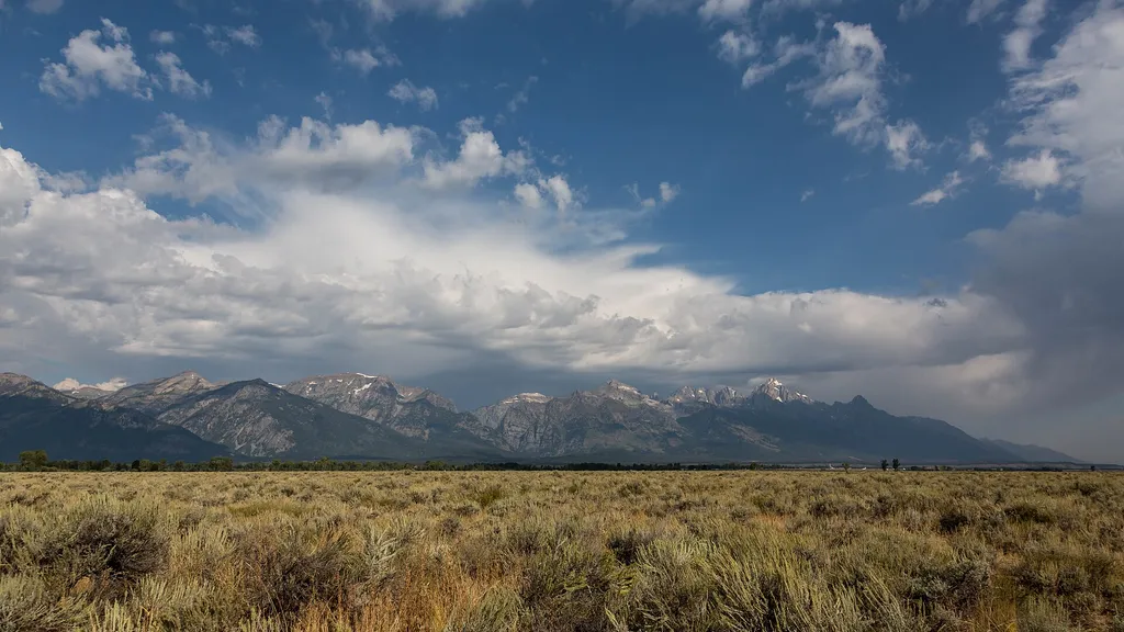
Gros Ventre Pathway Hub
~3 min drive
<p>The Gros Ventre Pathway Hub is one of many locations along the multi-use pathway where you can start or end your bike ride. If starting from this location, use the small parking lot east of the roundabout along Gros Ventre Road. Heading north will take you to Moose Junction…

Crystal Butte
~8 min drive
2.3 mi · Easy
Putt - Putt Trail
~8 min drive
8.9 mi · Hard

Woods Canyon
~9 min drive
5.3 mi · Moderate
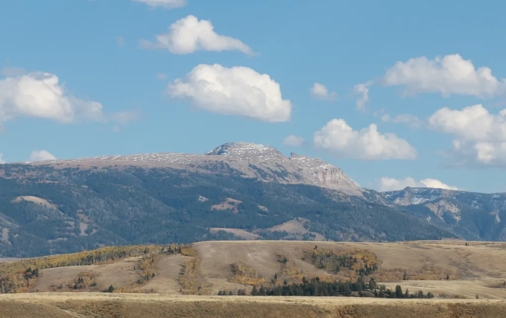
Sleeping Indian Turnout
~8 min drive
<p>Sleeping Indian turnout along US Highway 89/26/191 gives you sweeping views of both the Teton and Gros Ventre Range. The Gros Ventre Mountains—impressive in their own right—surround the southeast portion of the valley. One peak in the range stands out prominently. Nicknamed…
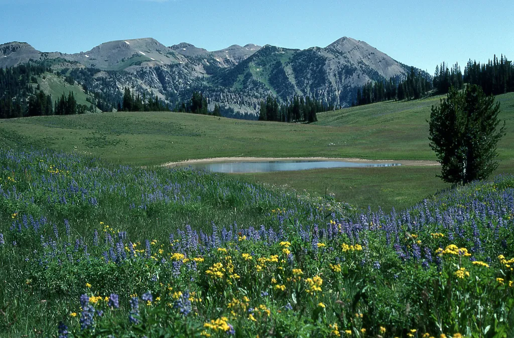
Granite Canyon Trailhead
~9 min drive
<p><b>Location:</b> Access the Granite Canyon Trailhead one mile north of the Granite Entrance Station on the Moose-Wilson Road. The road is not accessible to vehicles over 23.3 feet long or trailers. The parking lot is small so arrive early in the day to secure your space.<br…

Goodwin Lake
~10 min drive
14 mi · Hard

Sidewalk
~9 min drive
3.0 mi · Moderate
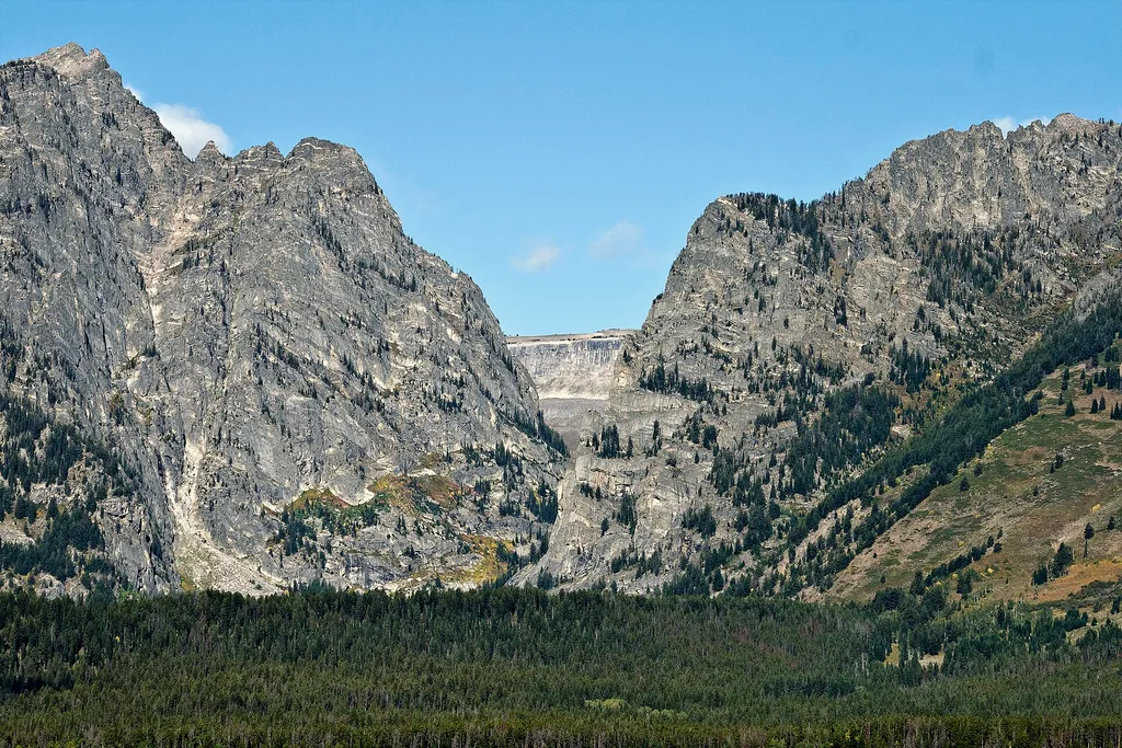
Albright View Turnout
~10 min drive
<p>Albright turnout is one of many scenic viewpoints along the highway through the park. Use turnouts like this one to take photos and enjoy wildlife safely. Do not stop along the road on the main highway to keep you and other visitors safe. Although the Teton Range dominates…
Shade Monkey
~9 min drive
1.5 mi · Easy
Local operatorsoffering guided trips. You book directly with them — Roamze doesn’t take a cut.
The Virginian RV Park
Hiking business nearby (~6 mi away) — hasn't claimed their Roamze page yet
Greys River Cove
Hiking business nearby (~30 mi away) — hasn't claimed their Roamze page yet