
The Virginian RV Park
Hiking business nearby (~38 mi away) — hasn't claimed their Roamze page yet
Free — you'll pick up right here.
Watch this trail
Sign up to watch it — saving subscribes you to gate, closure and report changes.
Wyoming
23.0 mi
Distance
1,607 ft
Gain
8h 29m
Time
We won't guess. Here is exactly what we do and don't know.
What we do know
Inside Bridger-Teton National Forest
3 managing-area boundaries mapped — agency alerts for them feed this page automatically.
Boundary data
What's missing
No access route mapped
We don't yet know which road reaches this trailhead, so we can't tell you if it's gated.
Nobody's filed a report here yet — be the first.
Why you'll love it
Pilgrim-Middle Pilrim Creek
AI-suggested draft · review before you go
No permit or access details on file for this trail — check with the local land manager before you go.
The Pilgrim-Middle Pilgrim Creek Trail is a 23.0-mile out-and-back route located in Wyoming. This extended backcountry hike takes adventurers through remote terrain as it follows the creek system. The trail's length makes it suitable for experienced hikers prepared for a full day of travel or those planning an overnight backpacking trip. The out-and-back format means hikers will cover approximately 11.5 miles one way before retracing their steps, allowing for flexibility in how far you venture before turning around. This structure also provides a straightforward navigation experience without the complexity of loop routes. Being situated in Wyoming's backcountry, the trail offers solitude and access to relatively undeveloped landscape. Hikers should be prepared with adequate water, supplies, and navigation tools. The creek proximity throughout the route suggests reliable water sources, though standard backcountry precautions apply. This trail suits hikers seeking longer wilderness experiences away from heavily trafficked areas. Plan accordingly for the full distance and bring necessary gear for extended time in the backcountry.

Bailey Creek
~6 min drive
6.7 mi · Hard
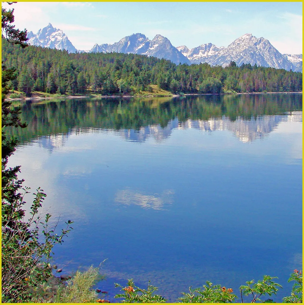
Arizona Island Picnic Area
~9 min drive
<p>Arizona Island picnic area consists of just a few tables in a meadow with mature forests surrounding. Have a snack and enjoy the view when traveling to or from Yellowstone National Park.</p> <h3>Name Origin</h3> <p>Once a peninsula, it became an island when Jackson Lake was…
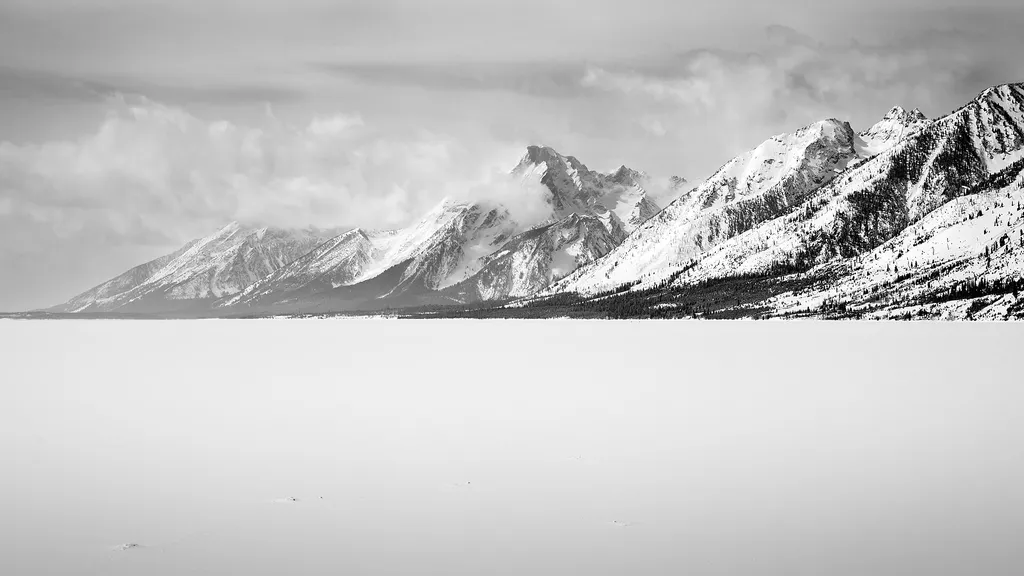
A Patchwork of Habitats
~10 min drive
<p>Stop 4 (Jackson Lake Overlook): What effects do repeated fires have on a landscape, and why is that important for forests and wildlife? Explore our Fire History page to see a map of fires in the park over the last several decades, including the ones Diane and Ron discuss.</p>
Colter / Wolverine Trailhead (8K8)
~17 min drive
<p>This is a remote trailhead at the southern boundary of the park that is not accessible by road. From this trailhead, you can embark on the following trails within the park:</p> <ul> <li>Colter / Wolverine Trail</li> <li>South Boundary Trail: South Entrance–Harebell</li> <li…

Sheffield
~16 min drive
14 mi · Hard
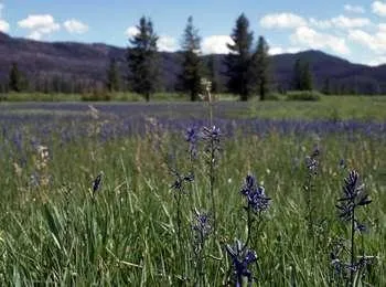
Arizona Meadows Turnout
~9 min drive
<p>This wet meadow turns blue violet in the early summer when blue camas blooms. Shoshone Indians harvested the bulbs once the flowers bloomed so that they did not confuse the plant with death camas that could be a very deadly mistake! The roasted bulbs formed an important par…
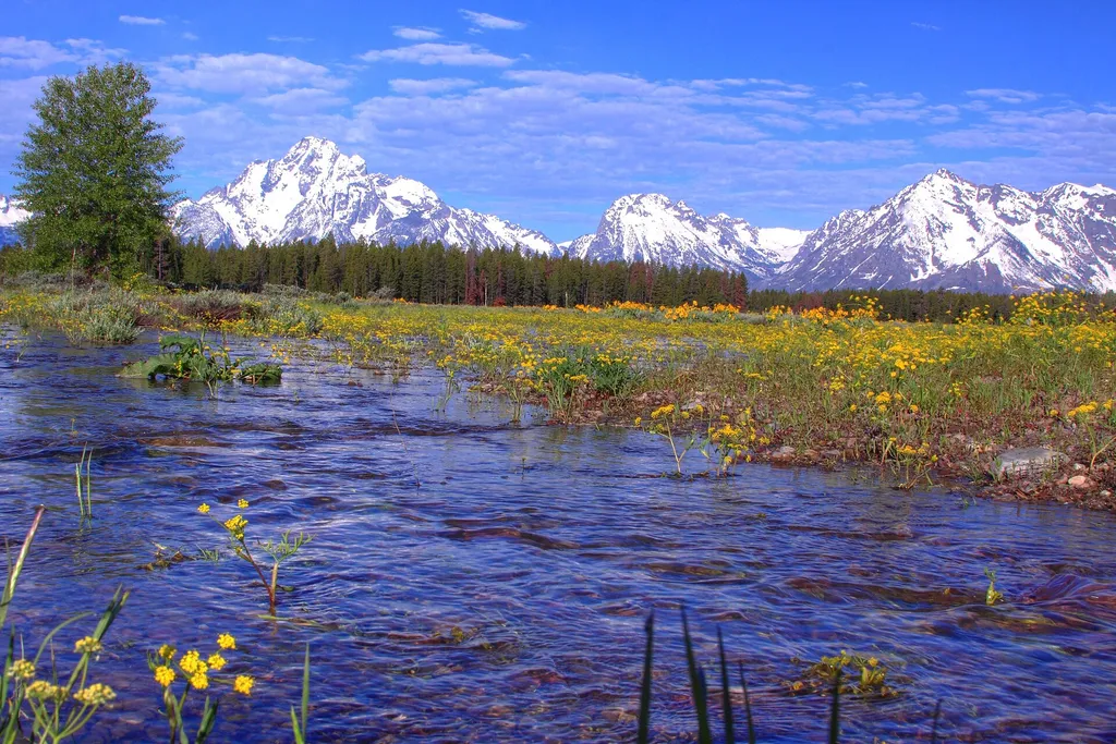
Stephen Leek Homestead
~11 min drive
<p>All that remains of Stephen Leek's 1927 homestead cabin is the stone chimney. Originally a hunting and fishing guide, Leek rose to fame photographing starving elk in Jackson Hole during the harsh winters of the early 1900s. His conservation efforts lead to the establishment…
Pligrim
~0 min drive
13 mi · Hard
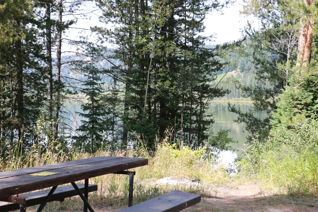
Two Ocean Lake Picnic Area
~11 min drive
<p>Two Ocean Lake picnic area is next to the parking lot and trailhead. The facilities include a few tables, vault toilet, and trash recepticals. Conifer trees provide some shade and the lake is visible through them. Some visitors will carry their canoe or kayak through the sh…
Grandview Point Trailhead
~11 min drive
<p><b>Location:</b> Access the Grandview Point Trailhead from the main highway. Travel two miles north from Jackson Lake Junction, turn east on an unmarked dirt road and continue one mile to the end.<br /> <br /> <b>Notes: </b> These trails are lightly traveled and pass throug…
Also worth it near here
Local operatorsoffering guided trips. You book directly with them — Roamze doesn’t take a cut.
The Virginian RV Park
Hiking business nearby (~38 mi away) — hasn't claimed their Roamze page yet