East Boundary Turnout
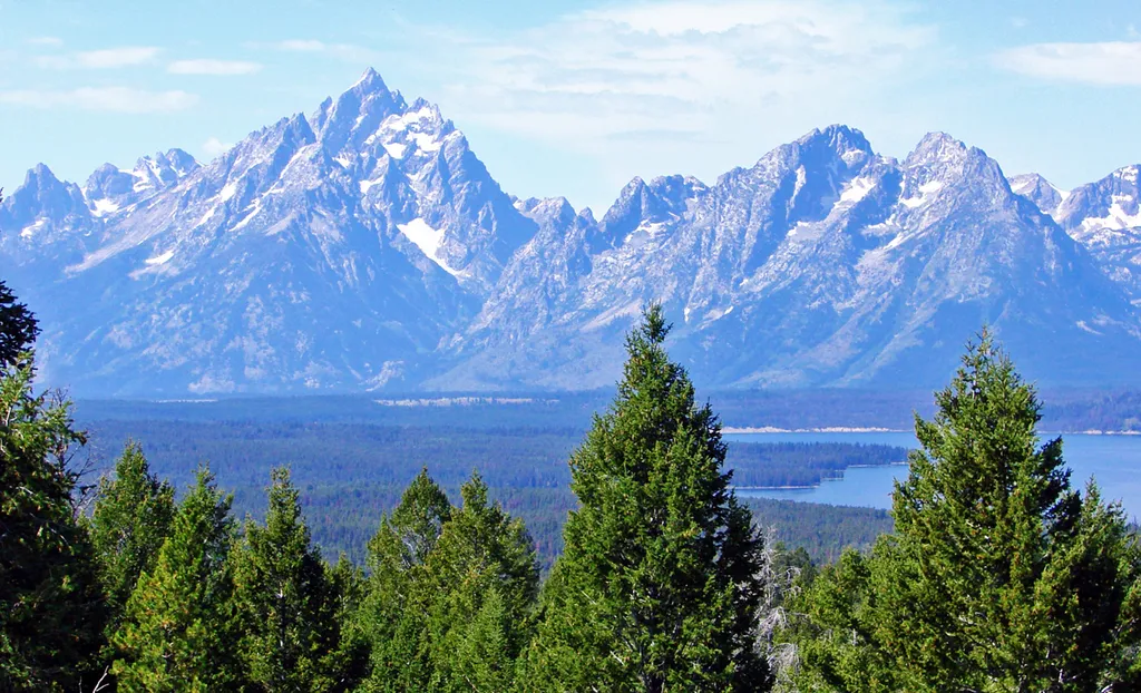 Photo: Don Graham from Redlands, CA, USA - God bless it! — Wikimedia Commons (CC BY-SA 2.0)
- Jun–Sep
- best months
Is East Boundary Turnout open right now?
Alert in the area
The National Park Service lists 2 alerts for Grand Teton National Park.
Construction in the South End of the Park
Park alert covering Grand Teton National Park · NPS · Grand Teton National Park
Construction on HWY 26/89/191
Park alert covering Grand Teton National Park · NPS · Grand Teton National Park
As of · Source: NPS · Grand Teton National Park. Agencies don't list every closure — check before you go.
Stop and grab a photo with the iconic wooden "Grand Teton National Park" sign at our eastern boundary and enjoy some of your first views of the Teton Mountain Range. For visitors driving in from places like Dubois, Lander, and Riverton, this is where you will first cross into park borders. At this turnout, there are informational signs and a map to help orient you to the park. Two miles after the turnout is Moran Junction. Turning here will take you through the entrance station and towards Jackson Lake Junction for Teton Park Road or north to the south entrance of Yellowstone National Park. If you don't turn at Moran Junction, you will continue south to Moose Junction and eventually the town of Jackson. There are two other Grand Teton signs in the park; one north as you drive into the park from Yellowstone and one closer to the southern boundary near Jackson.
Local outfitters
- Swift Creek Outfitters7 mi away
- The Virginian RV Park30 mi away
Not on Roamze yet. Their page has how to reach them.
 A River's StoryHikingPhoto: Open Source Dude, CC BY-SA 2.0 (via Wikimedia Commons)2.4 mi
- Buffalo Valley 2Camping3.4 mi
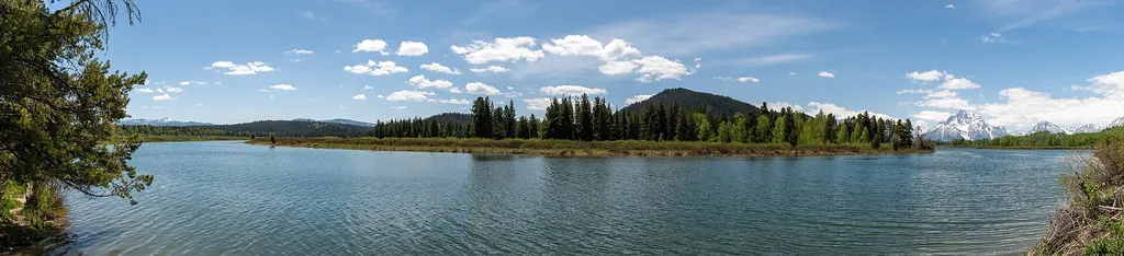 Oxbow Bend TurnoutHikingPhoto: Hansueli Krapf — Wikimedia Commons (CC BY-SA 4.0)4.3 mi
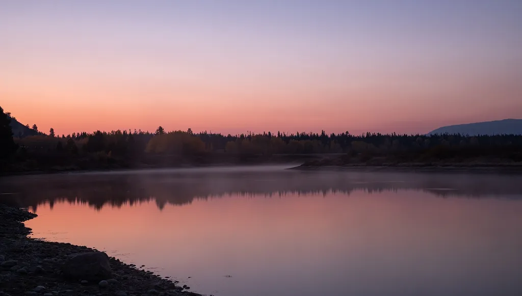 Cattlemans BridgeHikingPhoto: Eric Kilby — Wikimedia Commons (CC BY-SA 2.0)4.3 mi
- Spread CreekCanoeing4.6 mi
- Toppings Spread 9sCamping4.7 mi
- Pacific Creek 1Camping5.4 mi
- Pilgrim CreekCanoeing8.6 mi
Source: Roamze catalog (indexable pages within 10 miles, PostGIS distance)
- A River's StoryHiking · ~4 min drivePhoto: Open Source Dude, CC BY-SA 2.0 (via Wikimedia Commons)
 Lookout Rock Cutoff TrailHiking · ~8 min drivePhoto: Anton Molodtsov, CC BY-SA 3.0 (via Wikimedia Commons)
 Grand View Point TrailHiking · ~10 min drivePhoto: inkknife_2000 (7.5 million views +), CC BY-SA 2.0 (via Wikimedia Commons)
- Lava CreekHiking · ~8 min drive
- Emma Matilda Loop TrailHiking · ~10 min drive
 Signal MountainHiking · ~8 min drivePhoto: inkknife_2000 (7.5 million views +), CC BY-SA 2.0 (via Wikimedia Commons)
 Emma Matilda Lake TrailHiking · ~10 min drivePhoto: S. Zenner, Public domain (via Wikimedia Commons)
 Signal Mountain TrailHiking · ~11 min drivePhoto: Anton Molodtsov, CC BY-SA 3.0 (via Wikimedia Commons)
- Pacific Creek TrailHiking · ~12 min drive
- Lunch Tree HillHiking · ~10 min drive
Best time to visit East Boundary Turnout
Best months: June–September. Best months have typical highs of 55–85 °F, lows of 30 °F or warmer (32 °F where the station doesn't record snow), at most one snowy day and no more than 12 wet days.
Jan
24° / 1°
14 wet · 14 snow
Feb
30° / 4°
12 wet · 11 snow
Mar
39° / 12°
12 wet · 9 snow
Apr
46° / 21°
12 wet · 6 snow
May
56° / 31°
12 wet · 2 snow
Jun
67° / 37°
10 wet
Jul
77° / 42°
8 wet
Aug
76° / 40°
8 wet
Sep
66° / 34°
8 wet
Oct
51° / 25°
9 wet · 3 snow
Nov
35° / 14°
12 wet · 9 snow
Dec
24° / 4°
15 wet · 14 snow
Typical high / low (°F) and days with rain or snow, 1991–2020. Measured at Moran 5wnw, WY, 6.1 mi away at 6,805 ft. Source: NOAA NCEI U.S. Climate Normals 1991–2020.
