
The Virginian RV Park
Hiking business nearby (~28 mi away) — hasn't claimed their Roamze page yet
Signal Mountain
Free — you'll pick up right here.
Save this plan
Sign up to save your own editable copy — you'll pick up right here.
Wyoming
No conditions check on file for this trail yet — always verify current conditions before you go.
Signal Mountain
AI-suggested draft · review before you go
No elevation data on file for this trail.
On a clear day, the sweeping view from the summit of Signal Mountain captures five mountain ranges surrounding the Jackson Hole valley. The Teton Range rises to the west, the Snake River Range to the southwest, the Gros Ventre Range to the southeast, the Absarokas to the east and Yellowstone Plateau to the north. In early summer wildflowers add splashes of yellow, pink and lavender to the silvery gray-green of the sagebrush. The Snake River winds it way south from Jackson Lake cutting a silver swath across the valley. Either hike or drive to this summit that rises about 900 feet above the valley--the highest point in the park accessible by car. Road access has seasonal closures from late fall to late spring (weather dependent). Name Origin In 1891, Robert Ray Hamilton went missing while hunting in Jackson Hole. Searchers agreed to light a signal fire on the summit of this mountain when he was found. Seven days later, Hamilton's drowned body was found in the Snake River two miles below Jackson Lake Dam. His partner, John D. Sargent, was a suspect in Hamilton's demise.
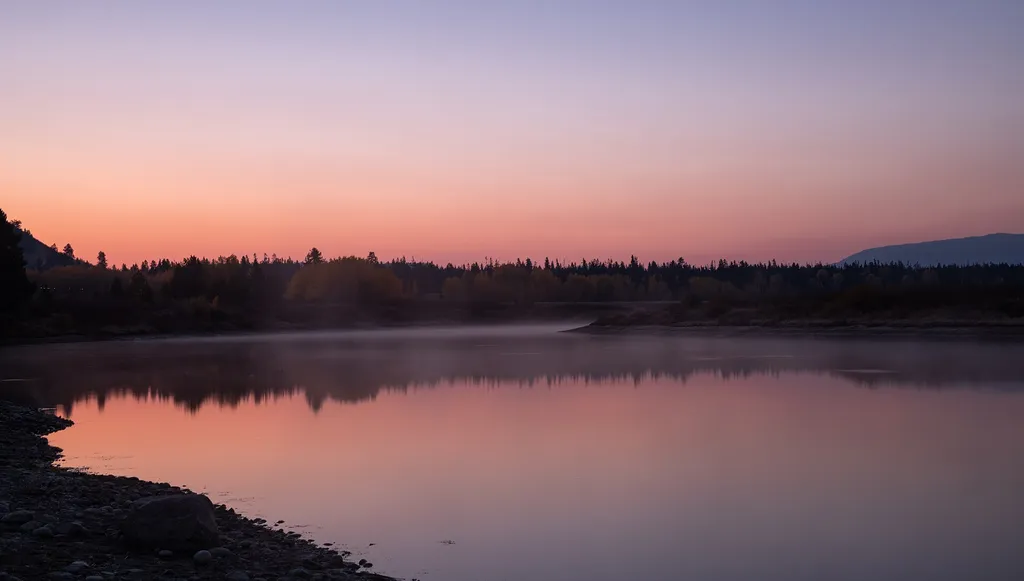
Cattlemans Bridge
~1 min drive
<p>Once a crossing for ranchers moving cattle, Cattlemans Bridge is no longer a bridge, but now a scenic view of the Snake River. This location is a mile down a dirt road from US Highway 89/191/287. While it is possible to put hand-powered boating vessels into the water, nearb…
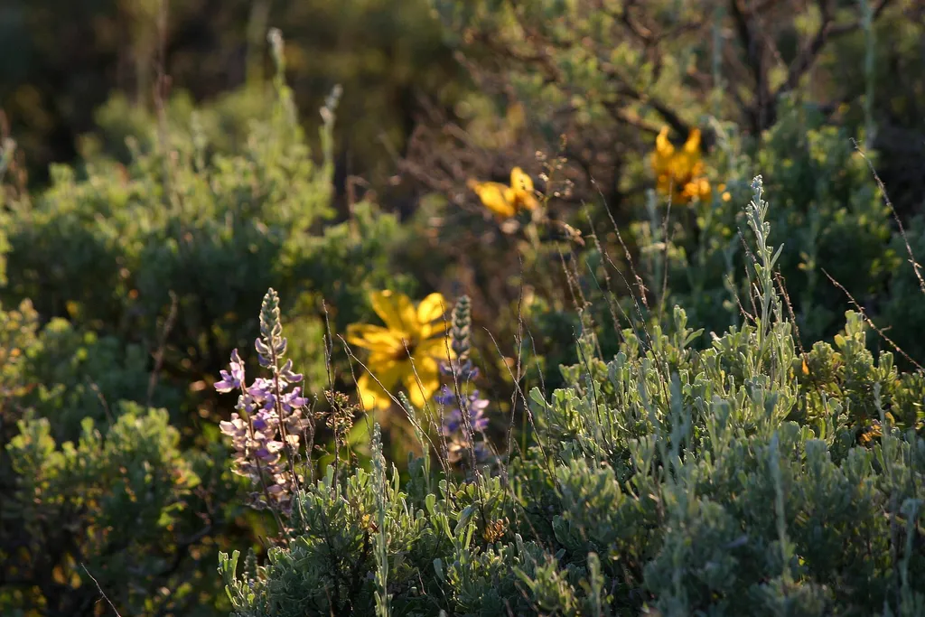
Christian Pond Trailhead
~3 min drive
<p><b>Location</b> : Access the Christian Pond trail from the east edge of the parking lot next to the corrals at the Jackson Lake Lodge.<br /> <br /> <b>Notes</b> : There are minimal facilities and limited parking at this trailhead. Restrooms, water, and other facilities avai…
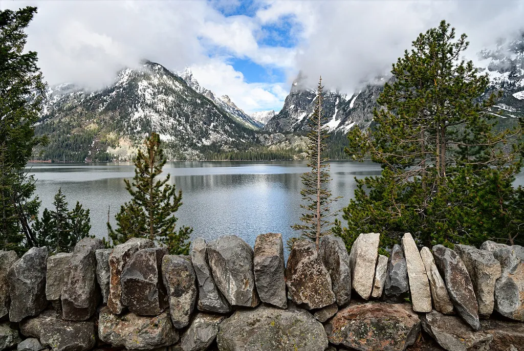
Cascade Canyon Turnout
~15 min drive
<p>Most visitors find it challenging to reach the alpine community in the park, but the view from Cascade Canyon turnout provides a glimpse. The canyon climbs through the forest community where many conifers thrive-lodgepole pine, Engelmann spruce, Douglas fir and subalpine fi…

Teton Crest Trail
~16 min drive
71 mi · Hard
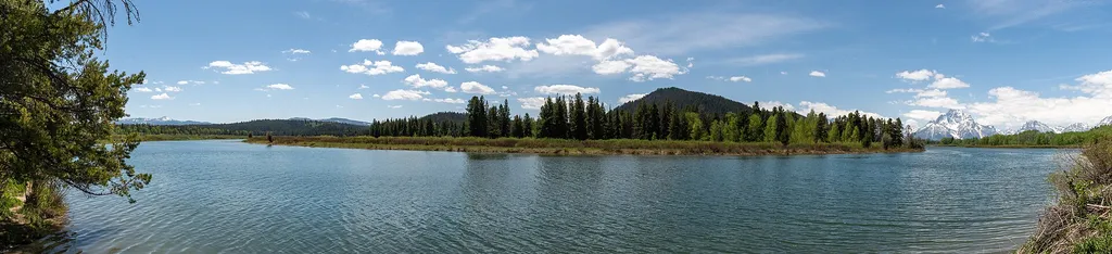
Oxbow Bend Turnout
~3 min drive
<p>While there are countless breathtaking views of the Teton Range throughout the park, Oxbow Bend is one of the most iconic. A channel of the Snake River "bends" towards the turnout with the water often reflecting the towering Mount Moran in the background. Year-round, this l…
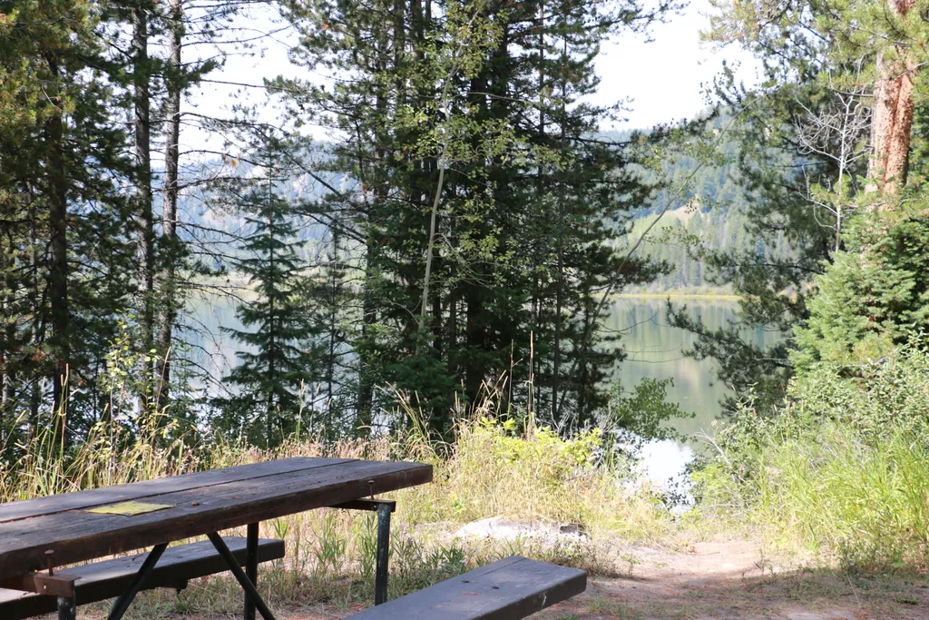
Two Ocean Lake Picnic Area
~8 min drive
<p>Two Ocean Lake picnic area is next to the parking lot and trailhead. The facilities include a few tables, vault toilet, and trash recepticals. Conifer trees provide some shade and the lake is visible through them. Some visitors will carry their canoe or kayak through the sh…
Two Ocean Lake Trail
~8 min drive
6.3 mi · Hard

Chapel of the Sacred Heart
~3 min drive
<p>The Chapel of the Sacred Heart is on Catholic Bay of Jackson Lake. The beautiful chapel was built in 1937 and is recognized by the Teton County Historic Preservation Board as being more than 50 years old. The Catholic Church owns the chapel and usually offers Sunday service…
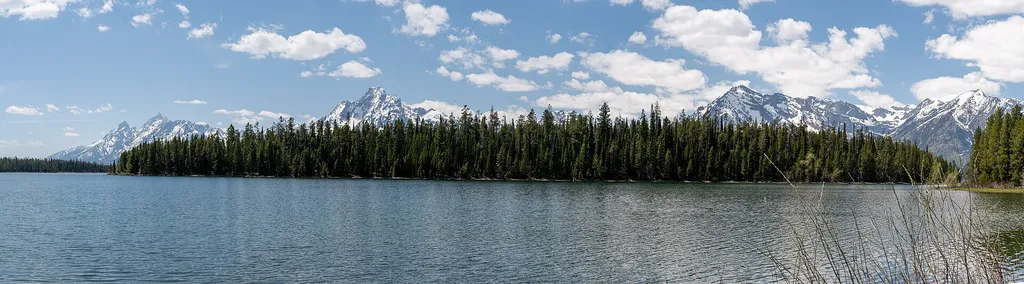
Hermitage Point Trailhead
~9 min drive
<p><b>Location:</b> Access the Hermitage Point Trailhead from Colter Bay Village. Continue ten miles northwest on the main highway from Moran Junction, and turn southwest at the Colter Bay Junction. The trailhead is at the southeast end of the parking lot next to the marina, a…
Middle Fork Ditch Creek
~15 min drive
13 mi · Hard
Local operatorsoffering guided trips. You book directly with them — Roamze doesn’t take a cut.
The Virginian RV Park
Hiking business nearby (~28 mi away) — hasn't claimed their Roamze page yet