
The Virginian RV Park
Hiking business nearby (~34 mi away) — hasn't claimed their Roamze page yet
Free — you'll pick up right here.
Watch this trail
Sign up to watch it — saving subscribes you to gate, closure and report changes.
Wyoming
20.4 mi
Distance
1,682 ft
Gain
7h 38m
Time
We won't guess. Here is exactly what we do and don't know.
What we do know
Inside Bridger-Teton National Forest
2 managing-area boundaries mapped — agency alerts for them feed this page automatically.
Boundary data
What's missing
No access route mapped
We don't yet know which road reaches this trailhead, so we can't tell you if it's gated.
Nobody's filed a report here yet — be the first.
Why you'll love it
Lava Creek
AI-suggested draft · review before you go
No permit or access details on file for this trail — check with the local land manager before you go.
Lava Creek is a 20.4-mile out-and-back trail located in Wyoming. This backcountry route takes hikers through diverse terrain characteristic of the region. The trail's length makes it suitable for experienced hikers prepared for a full day of hiking or a backpacking adventure. Starting from the trailhead, hikers will traverse the path following Lava Creek as it winds through the landscape. The out-and-back format means you'll retrace the same route, allowing for flexible turnaround points depending on your fitness level and available time. The trail offers an immersive experience in Wyoming's backcountry, providing solitude and a chance to explore this lesser-known area. Be prepared with adequate water, navigation tools, and supplies for the full distance. Given the trail's length, starting early is recommended to ensure you have sufficient daylight for the return journey. This route is best suited for hikers with previous backcountry experience and good physical conditioning. Check current trail conditions before heading out, as backcountry routes can be affected by seasonal changes and weather.
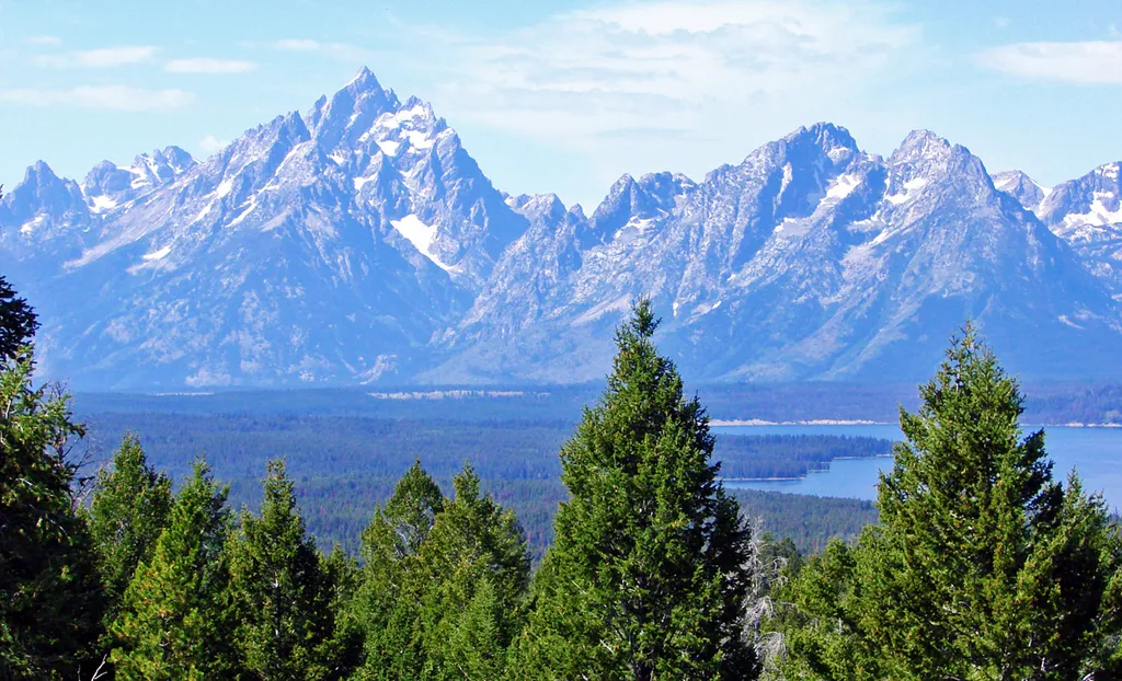
East Boundary Turnout
~8 min drive
<p>Stop and grab a photo with the iconic wooden "Grand Teton National Park" sign at our eastern boundary and enjoy some of your first views of the Teton Mountain Range. For visitors driving in from places like Dubois, Lander, and Riverton, this is where you will first cross in…
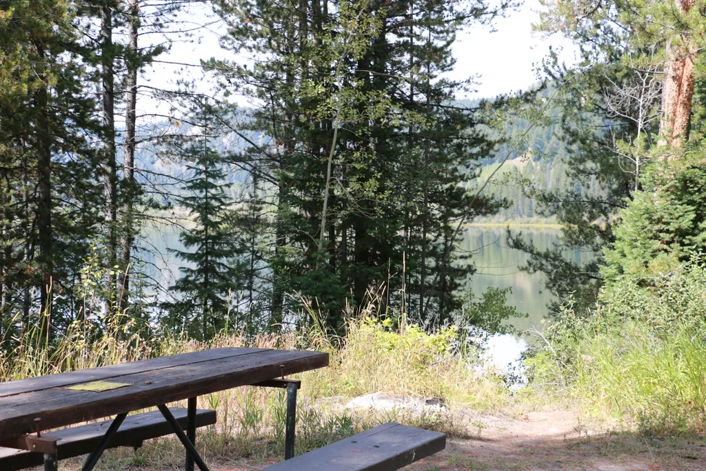
Two Ocean Lake Picnic Area
~11 min drive
<p>Two Ocean Lake picnic area is next to the parking lot and trailhead. The facilities include a few tables, vault toilet, and trash recepticals. Conifer trees provide some shade and the lake is visible through them. Some visitors will carry their canoe or kayak through the sh…

Angles Trail
~16 min drive
5.2 mi · Moderate

Mink Creek Trail
~19 min drive
15 mi · Hard
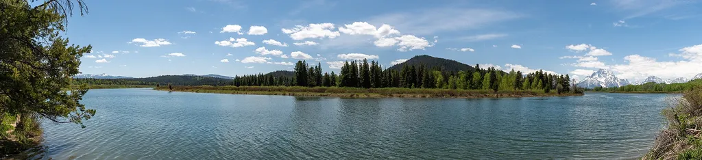
Oxbow Bend Turnout
~14 min drive
<p>While there are countless breathtaking views of the Teton Range throughout the park, Oxbow Bend is one of the most iconic. A channel of the Snake River "bends" towards the turnout with the water often reflecting the towering Mount Moran in the background. Year-round, this l…
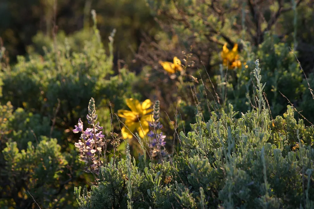
Christian Pond Trailhead
~16 min drive
<p><b>Location</b> : Access the Christian Pond trail from the east edge of the parking lot next to the corrals at the Jackson Lake Lodge.<br /> <br /> <b>Notes</b> : There are minimal facilities and limited parking at this trailhead. Restrooms, water, and other facilities avai…
Mary's Lake
~8 min drive
4.0 mi · Moderate
Box Creek
~8 min drive
25 mi · Hard
Cattlemans Bridge
~15 min drive
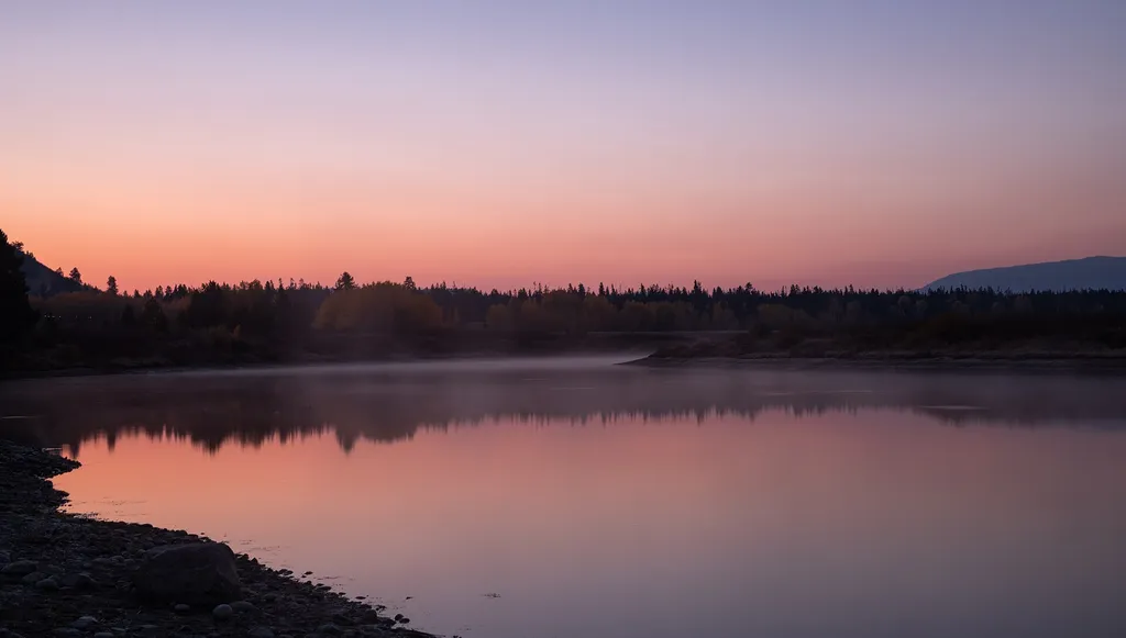
<p>Once a crossing for ranchers moving cattle, Cattlemans Bridge is no longer a bridge, but now a scenic view of the Snake River. This location is a mile down a dirt road from US Highway 89/191/287. While it is possible to put hand-powered boating vessels into the water, nearb…
Turpin Meadows Xc-Riverside
~9 min drive
1.8 mi · Easy
Also worth it near here
Local operatorsoffering guided trips. You book directly with them — Roamze doesn’t take a cut.
The Virginian RV Park
Hiking business nearby (~34 mi away) — hasn't claimed their Roamze page yet