
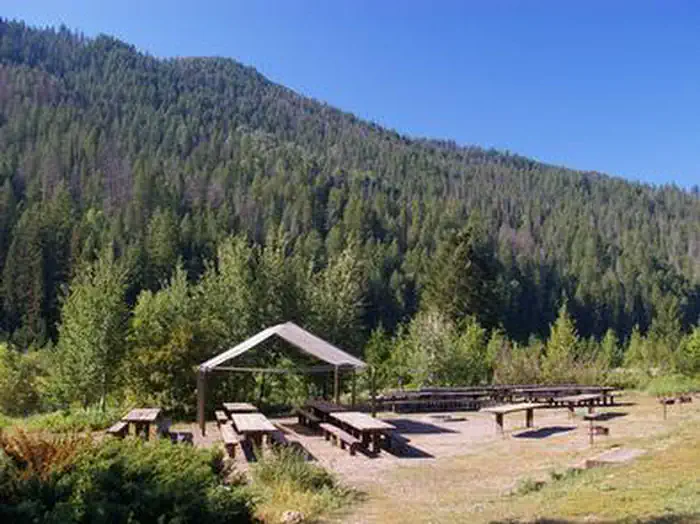

Greys River Cove
Hiking business nearby (~12 mi away) — hasn't claimed their Roamze page yet
Free — you'll pick up right here.
Watch this trail
Sign up to watch it — saving subscribes you to gate, closure and report changes.
Wyoming
7.9 mi
Distance
2,213 ft
Gain
3h 45m
Time
We won't guess. Here is exactly what we do and don't know.
What we do know
Inside Caribou-Targhee National Forest
2 managing-area boundaries mapped — agency alerts for them feed this page automatically.
Boundary data
What's missing
No access route mapped
We don't yet know which road reaches this trailhead, so we can't tell you if it's gated.
Nobody's filed a report here yet — be the first.
Why you'll love it
Dry Canyon
AI-suggested draft · review before you go
No permit or access details on file for this trail — check with the local land manager before you go.
Dry Canyon is a 4.0-mile loop trail located in Wyoming. This route offers a moderate hiking experience for those exploring the state's natural terrain. The loop format makes it an accessible option for hikers looking for a contained route without needing to backtrack on the same path. The trail is situated in the Wyoming area and provides an opportunity to experience the region's landscape. Hikers can expect a full circuit experience as they navigate the loop trail, returning to their starting point after completing the route. Whether you're a local looking for a nearby escape or visiting the region, Dry Canyon presents a straightforward hiking option. The 4.0-mile distance makes it suitable for a half-day adventure. Bring adequate water and sun protection, as conditions in Wyoming can be variable. Check current trail conditions before heading out to ensure the best experience on this loop route.

Coburn Creek
~10 min drive
1.9 mi · Easy

North Fork Fall Creek
~13 min drive
5.8 mi · Moderate
Garden Ridge
~3 min drive
6.8 mi · Hard
Box Canyon
~1 min drive
5.5 mi · Easy
Corkscrew
~3 min drive
Steep 4.72-mile climb with 2,495 ft gain; moderate difficulty day hike.
Garden Canyon
~3 min drive
6.1 mi · Hard
Sheep Camp
~8 min drive
2.9 mi · Easy
Siddoway Fork Creek
~4 min drive
9.9 mi · Moderate
Overall Basin
~5 min drive
6.3 mi · Hard
Whiskey Springs
~8 min drive
Steep 2-mile climb gaining 943 ft near Whiskey Springs, Idaho.
Local operatorsoffering guided trips. You book directly with them — Roamze doesn’t take a cut.
Greys River Cove
Hiking business nearby (~12 mi away) — hasn't claimed their Roamze page yet
The Virginian RV Park
Hiking business nearby (~16 mi away) — hasn't claimed their Roamze page yet