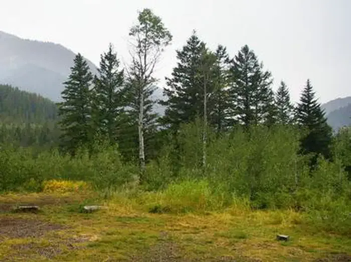
Wolf Creek Campground
Campground
Campground · 7.1 mi from the trail
No closures listed
The Forest Service lists no closures for Bridger-Teton National Forest.
As of · Source: USFS · Bridger-Teton National Forest. Agencies don't list every closure — check before you go.
Coburn Creek is a short, easy hike in the Jackson Ranger District of Bridger-Teton National Forest in Wyoming, about 1.9 miles long with an elevation gain of 879 feet. The trail is managed by the Forest Service and is an out-and-back route that starts at a low point of about 7,860 feet and reaches a high of about 8,738 feet. The trail is natural-surfaced and allows both horses and bikes, so it works for riders and pack animals as well as hikers. That makes it a flexible option for a day on foot or on horseback. Coburn Creek Trail lies about 1.2 miles away, and Observation Peak Trail is about 1.4 miles off. For an overnight stay, Wolf Creek Campground is about 7 miles away, and Fall Creek offers canoeing at a similar distance.
Wolf Creek Campground
Campground
Places © OpenStreetMap contributors
More in JacksonNot on Roamze yet. Their page has how to reach them.
 The Goat CaveRock climbingPhoto: Bridger-Teton NF, Public Domain Mark (via Flickr)7 mi
 Little Cottonwood GroupCampingPhoto: Recreation.gov (RIDB) / public domain7.4 mi
Source: Roamze catalog (indexable pages within 10 miles, PostGIS distance)
