Penokee Mtn Ski Trail 3.2 Km
- 0.6 mi
- round trip
- 352 ft
- climb
- 1,478 ft
- high point
- Out and back
- route
- May–Sep
- best months
Is PENOKEE MTN SKI TRAIL 3.2 KM open right now?
Closure in the area
There's a closure order in Chequamegon-Nicolet National Forest. It doesn't name PENOKEE MTN SKI TRAIL 3.2 KM, so check the source for the area it covers (2 listed).
Forest Lodge Occupancy and Use Prohibitions
Agency closure covering Chequamegon-Nicolet National Forest · Order 09-13-00-26-02 · USFS · Chequamegon-Nicolet National Forest
Forest Order 09-13-25-02 General Occupancy and Use Restrictions
Agency closure covering Chequamegon-Nicolet National Forest · Order 09-13-25-02 · USFS · Chequamegon-Nicolet National Forest
As of · Source: USFS · Chequamegon-Nicolet National Forest. Agencies don't list every closure — check before you go.
The 3.2 km Penokee Mountain Ski Trail hike in Wisconsin is an easy, short out-and-back on the Great Divide Ranger District of the Chequamegon-Nicolet National Forest. The trail covers about 1.3 miles round trip, with a total climb of 352 feet from the start to the high point at 1,478 feet. The route is back-loaded, with the steepest stretch coming at about 0.35 miles, where the grade reaches 10%. The trail is also close to the North Country National 604-390 hike and the Penokee Mountain Ski Trail, both about 0.2 miles away. Summer is the most comfortable time to go. Typical July averages from a nearby weather station run around 77°F for highs and 55°F for lows. Winters are cold and snowy, with January highs near 21°F and snow on about 13 days that month. The trip is estimated to take about half an hour, so it works well as a short addition to time spent on the surrounding trails.
- North Country National 604-390Hiking0.2 mi
- Penokee Mountain Ski TrailCross-country skiing0.2 mi
- Penokee Moutain Ski TrailCross-country skiing0.4 mi
- North Country TrailCross-country skiing0.6 mi
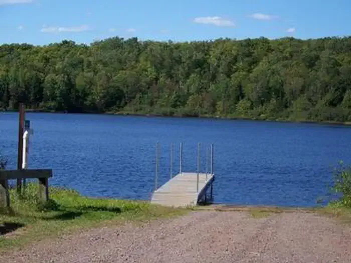 Mineral LakeCampingPhoto: Recreation.gov (RIDB) / public domain5.6 mi
 Lake ThreeCampingPhoto: Recreation.gov (RIDB) / public domain6.6 mi
 Beaver Lake (Chequamegon-Nicolet NF, WI)CampingPhoto: Recreation.gov (RIDB) / public domain7.7 mi
- Beaver LakeCamping8.6 mi
Source: Roamze catalog (indexable pages within 10 miles, PostGIS distance)
 Iron County ForestHiking · ~20 min drivePhoto: Ian Shackleford, CC BY 3.0 (via Wikimedia Commons)
- North Country National 604-390Hiking · Next door
- Copper Falls State ParkHiking · ~7 min drive
- Little Moose River HwtHiking · ~34 min drive
- North Country National Scenic Trail (Wi)Hiking · ~9 min drive
- PENOKEE MTN SKI TRAIL 5.1 KMHiking · ~1 min drive
- North Country National 383-187Hiking · ~18 min drive
- North Country National 188-604Hiking · ~2 min drive
- Clam Lake ConnectorHiking · ~19 min drive
- CopperHiking · ~6 min drive
Best time to visit PENOKEE MTN SKI TRAIL 3.2 KM
Best months: May–September. Best months have typical highs of 55–85 °F, lows of 30 °F or warmer (32 °F where the station doesn't record snow), at most one snowy day and no more than 12 wet days.
Jan
21° / 2°
13 wet · 13 snow
Feb
26° / 5°
10 wet · 10 snow
Mar
37° / 15°
10 wet · 8 snow
Apr
50° / 28°
11 wet · 3 snow
May
64° / 40°
12 wet · 1 snow
Jun
73° / 50°
12 wet
Jul
77° / 55°
11 wet
Aug
76° / 54°
10 wet
Sep
68° / 46°
11 wet
Oct
54° / 34°
12 wet · 2 snow
Nov
38° / 22°
11 wet · 6 snow
Dec
26° / 10°
13 wet · 11 snow
Typical high / low (°F) and days with rain or snow, 1991–2020. Measured at Mellen 4 Ne, WI, 4.9 mi away at 1,300 ft. Source: NOAA NCEI U.S. Climate Normals 1991–2020.
