Little Moose River Hwt
- 12.3 mi
- round trip
- 656 ft
- climb
- 1,454 ft
- high point
- Out and back
- route
- Jul–Aug
- best months
Is Little Moose River Hwt open right now?
Closure in the area
There's a closure order in Chequamegon-Nicolet National Forest. It doesn't name Little Moose River Hwt, so check the source for the area it covers (2 listed).
Forest Lodge Occupancy and Use Prohibitions
Agency closure covering Chequamegon-Nicolet National Forest · Order 09-13-00-26-02 · USFS · Chequamegon-Nicolet National Forest
Forest Order 09-13-25-02 General Occupancy and Use Restrictions
Agency closure covering Chequamegon-Nicolet National Forest · Order 09-13-25-02 · USFS · Chequamegon-Nicolet National Forest
As of · Source: USFS · Chequamegon-Nicolet National Forest. Agencies don't list every closure — check before you go.
Little Moose River Hwt is a 12.3-mile out-and-back hike in the Great Divide Ranger District of Wisconsin's Chequamegon-Nicolet National Forest. The trail rises from about 1,400 feet to a high point of 1,454 feet, with the steepest stretch at about 3.5 miles in, where the grade reaches 5%. The climb is rated hard, and the trail is natural-surfaced, with horses and bikes allowed. Summer is the most comfortable time to go. Typical averages from a nearby weather station at Clam Lake show July highs around 76°F and lows near 56°F, while winter highs stay in the 20s. The trail is open from May 1 to November 30. Moose Lake campground sits about 5.7 miles away, and the Sanguine N and S hikes are within about 5 miles.
- Little Moos River HwtHiking0.7 mi
- Sanguine N HwtHiking3.7 mi
- Bpw InterpretiveHiking4.6 mi
- Sanguine S HwtHiking4.9 mi
 Moose LakeCampingPhoto: Recreation.gov (RIDB) / public domain5.7 mi
- Lynch CreekHiking6.1 mi
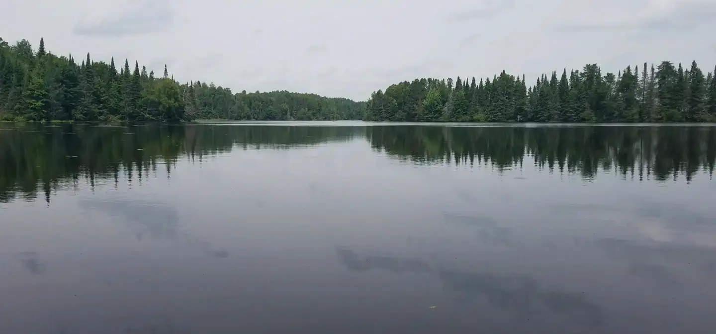 Day LakeSurf fishing6.6 mi
 East TwinCampingPhoto: Recreation.gov (RIDB) / public domain8.8 mi
Source: Roamze catalog (indexable pages within 10 miles, PostGIS distance)
- Sanguine N HwtHiking · ~6 min drive
- Ghost Creek HwtHiking · ~7 min drive
- Rock Lake BikeHiking · ~18 min drive
- Lynch CreekHiking · ~11 min drive
- Sanguine S HwtHiking · ~8 min drive
- Diamond Lake HwtHiking · ~25 min drive
- Lynch Creek SouthHiking · ~11 min drive
- North Day Lake HwtHiking · ~12 min drive
- Dead Horse RunHiking · ~25 min drive
- Day Lake HwtHiking · ~11 min drive
Best time to visit Little Moose River Hwt
Best months: July–August. Best months have typical highs of 55–85 °F, lows of 30 °F or warmer (32 °F where the station doesn't record snow), at most one snowy day and no more than 12 wet days.
Jan
20° / 1°
11 wet
Feb
25° / 1°
9 wet
Mar
36° / 13°
10 wet
Apr
49° / 27°
12 wet
May
63° / 40°
13 wet
Jun
73° / 51°
14 wet
Jul
76° / 56°
12 wet
Aug
75° / 54°
12 wet
Sep
67° / 46°
13 wet
Oct
52° / 34°
14 wet
Nov
37° / 22°
12 wet
Dec
25° / 8°
12 wet
Typical high / low (°F) and days with rain or snow, 1991–2020. Measured at Clam Lake 4w, WI, 5.4 mi away at 1,498 ft. This station doesn't record snowfall. Source: NOAA NCEI U.S. Climate Normals 1991–2020.
